
Medora in Billings County, North Dakota — The American Midwest (Upper Plains)
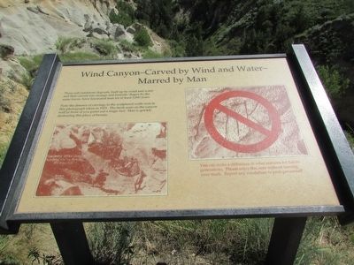
Wind Canyon – Carved by Wind and Water – Marred by Man
Photographed by Bill Coughlin, July 20, 2015
1. Wind Canyon – Carved by Wind and Water – Marred by Man Marker
These soft sandstone deposits, built up by wind and water and then carved into strange and fantastic shapes by the same forces, have fascinated man for at least 5,000 years.
Note the absence of carvings in the sculptured walls seen in this photograph taken in 1925. The fresh scars on the canyon wall in front of you point out a tragic fact: Man is quickly destroying this place of beauty.
You can make a difference in what remains for future generations. Please enjoy this area without leaving your mark. Report any vandalism to park personnel!
Topics. This historical marker is listed in this topic list: Natural Features.
Location. Marker has been reported missing. It was located near 46° 59.289′ N, 103° 29.17′ W. Marker was in Medora, North Dakota, in Billings County. It was on E River Road, on the left when traveling north. Marker is located in the South Unit of Theodore Roosevelt National Park. Touch for map. Marker was in this post office area: Medora ND 58645, United States of America. Touch for directions.

Regionally, this marker was on North Dakota’s Missouri Plateau.
this page online
Other nearby markers. At least 8 other markers are within 6 miles of this location, measured as the crow flies: Beef Corral Bottom (approx. 0.7 miles away); Building From Hard Times (approx. 1½ miles away); North Dakota Badlands (approx. 2.3 miles away); The Shooting of Riley Luffsey (approx. 5 miles away); Historic Medora—Boom and Bust (approx. 5.1 miles away); On Track to Adventure (approx. 5.1 miles away); In honor of a President . . . and His Conservation Legacy (approx. 5.3 miles away); Stephen Tyng Mather (approx. 5.3 miles away). Touch for a list and map of all markers in Medora.
Other markers no longer nearby. River Woodland (was approx. 3.7 miles away but has been confirmed missing); Historic Medora (was approx. 5.1 miles away but has been permanently removed).
More about this marker. Two photographs appear on the
Photographed by Bill Coughlin, July 20, 2015
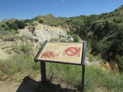
2. Wind Canyon – Carved by Wind and Water – Marred by Man Marker
Photographed by Bill Coughlin, July 20, 2015
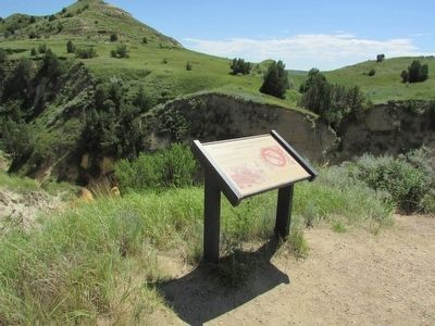
3. Marker in Theodore Roosevelt National Park
Photographed by Bill Coughlin, July 20, 2015
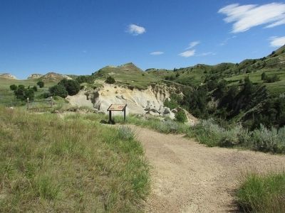
4. Wind Canyon Marker
Credits. This page was last revised on August 6, 2020. It was originally submitted on September 14, 2015, by Bill Coughlin of Woodland Park, New Jersey. This page has been viewed 587 times since then and 21 times this year. Last updated on August 5, 2020, by Connor Olson of Menomonee Falls, Wisconsin. Photos: 1, 2, 3, 4. submitted on September 14, 2015, by Bill Coughlin of Woodland Park, New Jersey. • Mark Hilton was the editor who published this page.
