Near Valley Park in Issaquena County, Mississippi — The American South (East South Central)
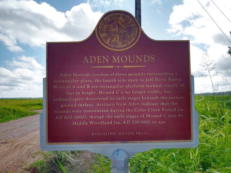
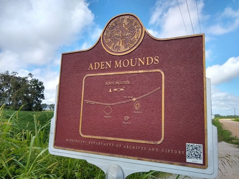
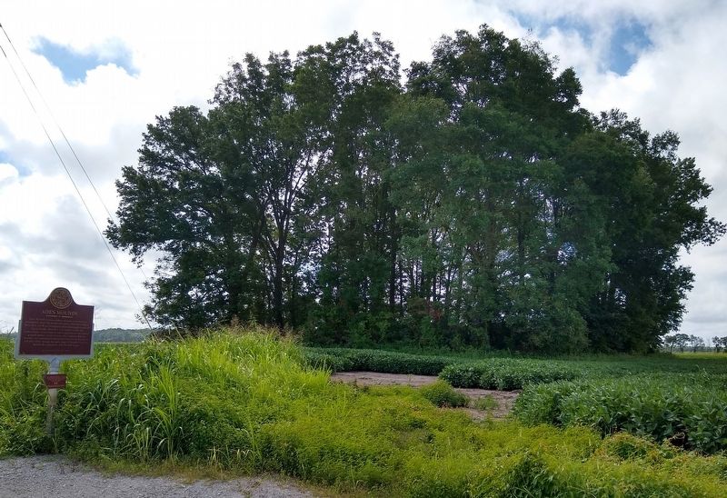
Aden Mounds
— Mississippi Mound Trail —
Erected by Mississippi Department of Archives and History.
Topics and series. This historical marker is listed in these topic lists: Anthropology & Archaeology • Native Americans. In addition, it is included in the Mississippi Mound Trail series list.
Location. 32° 38.241′ N, 90° 50.256′ W. Marker is near Valley Park, Mississippi, in Issaquena County. Marker is on Deer Creek Road, 1.6 miles east of U.S. 61, on the right when traveling east. Touch for map. Marker is in this post office area: Redwood MS 39156, United States of America. Touch for directions.
Other nearby markers. At least 8 other markers are within 11 miles of this marker, measured as the crow flies. Teddy Roosevelt's Bear Hunt (approx. 8˝ miles away); Haynes Bluff Mound (approx. 8.6 miles away); Hill’s Plantation (approx. 8.9 miles away); a different marker also named Hill’s Plantation (approx. 8.9 miles away); Snyder's Bluff (approx. 10 miles away); Fort Snyder (approx. 10.1 miles away); Fort St. Peter (approx. 10.1 miles away); French Fort St. Pierre (approx. 10.1 miles away).
Credits. This page was last revised on August 14, 2020. It was originally submitted on August 9, 2020, by Tom Bosse of Jefferson City, Tennessee. This page has been viewed 310 times since then and 73 times this year. Photos: 1, 2, 3. submitted on August 9, 2020, by Tom Bosse of Jefferson City, Tennessee. • Bernard Fisher was the editor who published this page.


