
Mound City, South Dakota
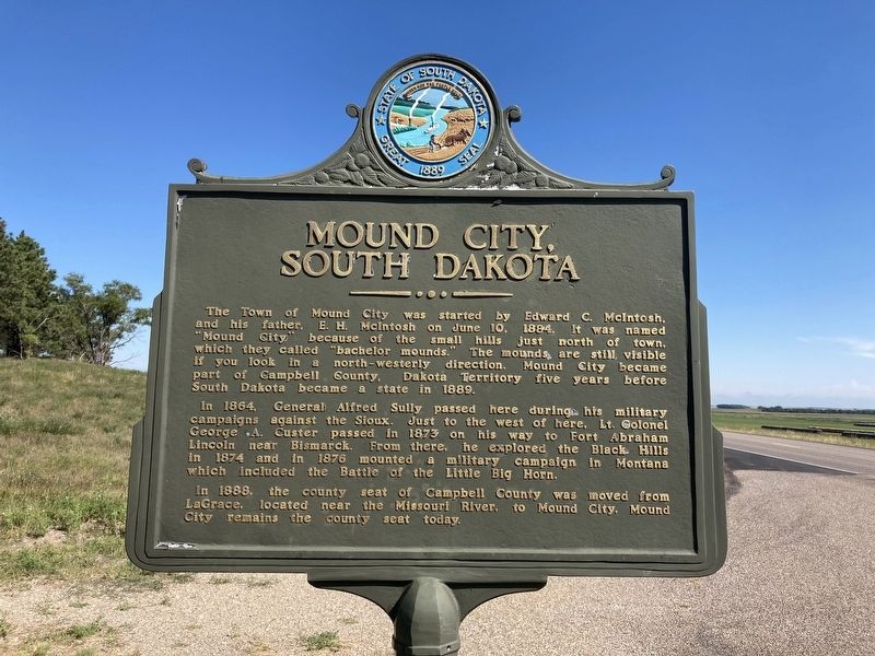
In 1864, General Alfred Sully passed here during his military campaign against the Sioux. Just to the west of here, Lt. Colonel George A. Custer passed in 1873 on his way to Fort Abraham Lincoln near Bismarck. From there, he explored the Black Hills in 1874 and in 1876, mounted a military campaign in Montana which included the Battle of the Little Big Horn.
In 1888, the county seat of Campbell County was moved from LaGrace, located near the Missouri River, to Mound City. Mound City remains the county seat today.
Erected by State of South Dakota.
Topics. This historical marker is listed in these topic lists: Settlements & Settlers • Wars, US Indian. A significant historical date for this entry is June 10, 1884.
Location. 45° 43.896′ N,
this page online

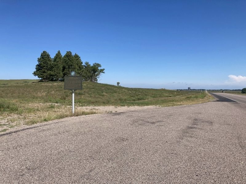
Regionally, this marker is in East River. It is also in the American Lewis & Clark Corridor, on the prairies, and on the Northern Plains. Globally, it is in North America, the Western Hemisphere, the Western World, and the Anglosphere. Historically, it finds itself in what was once Rupert’s Land and also the Louisiana Purchase.
Other nearby markers. At least 2 other markers are within 16 miles of this marker, measured as the crow flies: Hiddenwood Park (approx. 13.6 miles away); Flint Store and Post Office (approx. 15.4 miles away).
Credits. This page was last revised on January 13, 2021. It was originally submitted on August 9, 2020, by Connor Olson of Menomonee Falls, Wisconsin. This page has been viewed 1,966 times since then and 98 times this year. Photos: 1, 2. submitted on August 9, 2020, by Connor Olson of Menomonee Falls, Wisconsin. • Mark Hilton was the editor who published this page.
