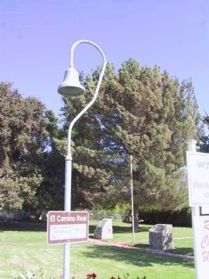
Near Piru in Ventura County, California — The American West (Pacific Coastal)
Rancho Camulos
National Historic Landmark
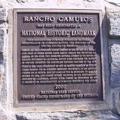
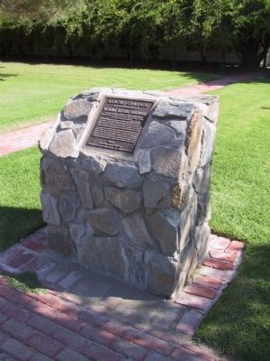
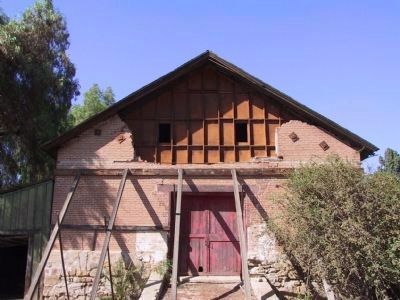
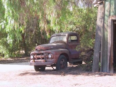
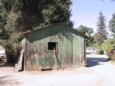
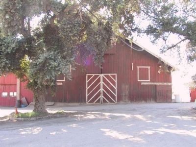
Rancho Camulos has been designated a National Historic Landmark. This residential complex possesses national significance in commemorating the history of the United States of America.
Ygnacio del Valle established Rancho Camulos in 1853, on part of a Mexican land grant of former mission lands. Rancho Camulos was the setting for Ramona, an 1884 novel that generated national interest in the history of Hispanic settlement in California. August Rubel purchased the property in 1924 and preserved the significant historic features of the site.
Erected 2000 by National Park Service. (Marker Number 553.)
Topics and series. This historical marker is listed in these topic lists: Arts, Letters, Music • Hispanic Americans • Settlements & Settlers. In addition, it is included in the California Historical Landmarks, the National Historic Landmarks, and the Ventura County Historical Landmarks series lists. A significant historical year for this entry is 1853.
Location. 34° 24.39′ N, 118° 45.41′ W. Marker is near Piru, California, in Ventura County. Marker is on State Highway 126, 2 miles east of Piru, on the right when traveling east. Located at Rancho Camulos Museum. Touch for map. Marker is at or near this postal address: 5164 E Telegraph Rd, Fillmore CA 93015, United States of America. Touch for directions.
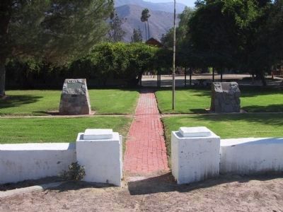
Other nearby markers. At least 8 other markers are within 8 miles of this marker, measured as the crow flies. Governor Juan Alvarado (here, next to this marker); Camulos, Ventura Co. California (about 400 feet away, measured in a direct line); The Del Valle Family Home (about 600 feet away); Portolá Expedition (approx. 2.1 miles away); The Piru Mansion (approx. 2.3 miles away); St. Francis Dam Disaster (approx. 2.8 miles away); Fillmore Fish Hatchery (approx. 7.4 miles away); First Commercial Oil Well In California (approx. 7.7 miles away). Touch for a list and map of all markers in Piru.
More about this marker. This is California Historic Landmark No. 553, and Ventura County Landmark No. 152.
Regarding Rancho Camulos. On January 22, 1839, Governor Juan Alvarado granted the 48,815-acre Rancho San Francisco to Antonio del Valle. Jacoba Feliz filed a claim against this grant that was dismissed on June 8, 1857. The Del Valle family chose to live on the Rancho at Camulos, later known as the Home of Ramona. SOURCE: California Historical Landmarks, California State Parks
Also see . . .
1. Rancho Camulos Museum. (Submitted on April 17, 2023.)
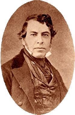
2. Ygnacio Del Valley (1808 - 1880). Find A Grave entry (Submitted on January 4, 2012, by Michael Kindig of Elk Grove, California.)
Photographed By Michael Kindig, August 18, 2007
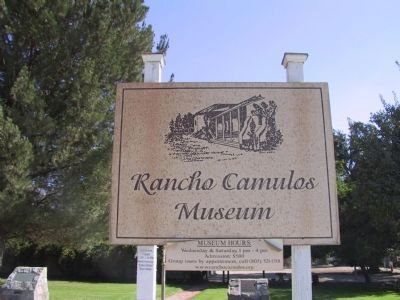
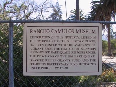
9. Rancho Camulos Museum
Restoration of this property, listed in the National Register of Historic Places, has been funded with the assistance of a grant from the Historic Preservation Partners for Earthquake Response under the provisions of the 1994 Earthquake Disaster Relief Grants Fund and the President's Discretionary Fund authorized under public law 103-211.
Credits. This page was last revised on June 25, 2023. It was originally submitted on December 28, 2011. This page has been viewed 1,197 times since then and 45 times this year. Last updated on August 10, 2020. Photos: 1, 2. submitted on December 28, 2011, by Michael Kindig of Elk Grove, California. 3. submitted on January 3, 2012, by Michael Kindig of Elk Grove, California. 4. submitted on January 29, 2021, by Larry Gertner of New York, New York. 5, 6, 7, 8, 9, 10, 11, 12, 13, 14. submitted on January 3, 2012, by Michael Kindig of Elk Grove, California. • Andrew Ruppenstein was the editor who published this page.
