Brandy Station in Culpeper County, Virginia — The American South (Mid-Atlantic)
Battle of Brandy Station
Heights & Sights to the South & West
Photographed by Brandon D Cross, January 26, 2019
1. Battle of Brandy Station Heights & Sites South & West Marker
The commanding view from Fleetwood Hill rendered this “Famous Plateau” an ideal observation post during the war. Today the view looks much as it did in the 1860s.
1. COLE’S HILL
During the winter of 1864, Federal Second Corps troops camped on and around this hill, which was also a prominent signal station.
2. HANSBOROUGH’S RIDGE
Gen. Alexander Hays’s division, Union Second Corps, made its winter camp on the ridge. The Civil War Trust helped to preserve the site.
3. ORANGE & ALEXANDRIA RAILROAD
Built in the mid 1850s, it was a vital supply line for both Federal and Confederate forces throughout the war.
4. CLARK MOUNTAIN
Higher than 1,000 feet, this is the tallest mountain in Virginia east of the Blue Ridge. This bold summit repeatedly served as a Confederate signal station and observation post.
5. PONY MOUNTAIN
An important signal station for both sides, particularly for the Union during the winter of 1863-1864.
6. CEDAR MOUNTAIN
The site of an important Confederate victory, August 9, 1862.
7. WYNDHAM’S APPROACH
Union Lt. Col. Sir Percy Wyndham’s brigade crossed these fields to
this page online
8. BRANDY STATION
First called crossroads, this hamlet later was named Brandy after a local tavern, and then Brandy Station, June 9, 1863.
9. OLD CAROLINA ROAD
A former Iroquois hunting path, this improved colonial road connected Pennsylvania with North Carolina.
10. THOROUGHFARE MOUNTAIN
Confederates moved around it during the Second Manassas (1862) and Bristoe (1863) Campaigns.
11. CULPEPER COURTHOUSE
The Culpeper County seat of government.
12. FLAT RUN
Wyndham’s cavalry charged up Fleetwood Hill from this creek.
Erected by Civil War Trails and Civil War Trust.
Topics and series. This historical marker is listed in this topic list: War, US Civil. In addition, it is included in the Virginia Civil War Trails series list.
Location. 38° 30.534′ N, 77° 52.756′ W. Marker is in Brandy Station, Virginia, in Culpeper County. It can be reached from the intersection of Fleetwood Heights Road (Virginia Route 685) and Stuart Lane, on the right when traveling east. Touch for map. Marker is in this
Courtesy Library of Congress
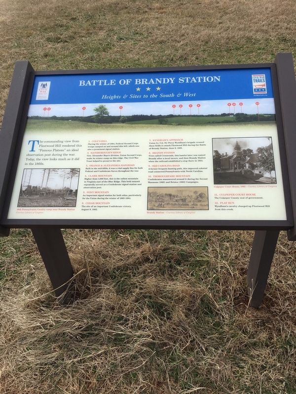
2. Marker detail:18th Pennsylvania Cavalry camp near Brandy Station.

Regionally, this marker is in the Washington Metropolitan Area and in Northern Virginia. It is also in the American South, specifically in the Upper South, and in the Mid-Atlantic. Globally, it is in North America, the Western Hemisphere, the Western World, and the Anglosphere. Historically, it finds itself in what was once the territory of the Mississippian Culture, one of the original Thirteen Colonies, one of the Confederate States of America, and the Antebellum South.
Other nearby markers. At least 8 other markers are within walking distance of this marker: A different marker also named Battle of Brandy Station (here, next to this marker); a different marker also named Battle of Brandy Station (within shouting distance of this marker); a different marker also named Battle of Brandy Station (within shouting distance of this marker); a different marker also named Battle of Brandy Station (within shouting distance of this marker); a different marker also named Battle of Brandy Station (within shouting distance of this marker);
Courtesy Library of Congress, January 26, 2019
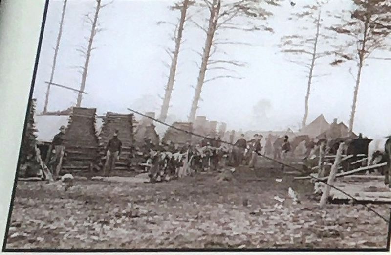
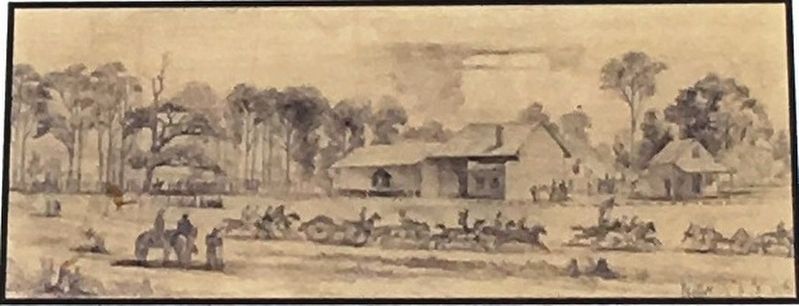
3. Marker Detail: Brandy Station
Courtesy Library of Congress, January 26, 2019
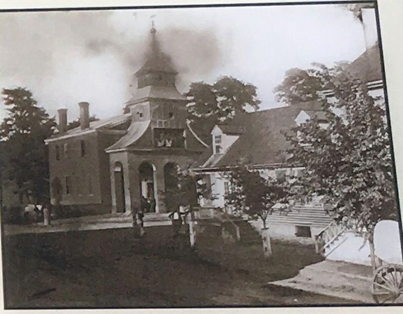
4. Marker Detail:Culpeper Courthouse 1862
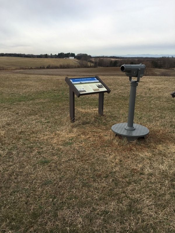
Photographed by Brandon D Cross, January 26, 2019
5. Battle of Brandy Station Heights & Sites South & West Marker
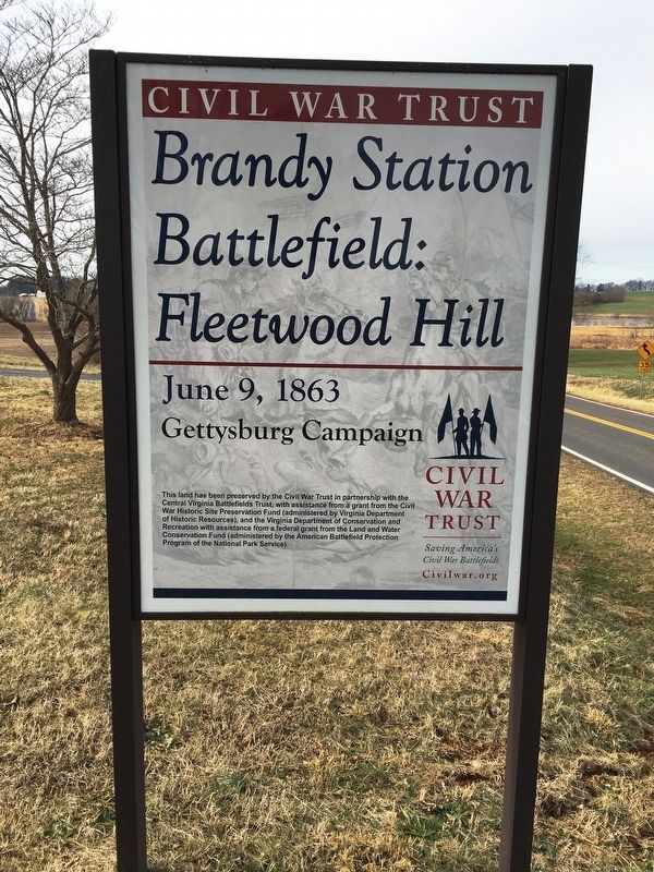
Photographed by Brandon D Cross, January 26, 2019
6. Brandy Station Battlefield: Fleetwood Hill Sign
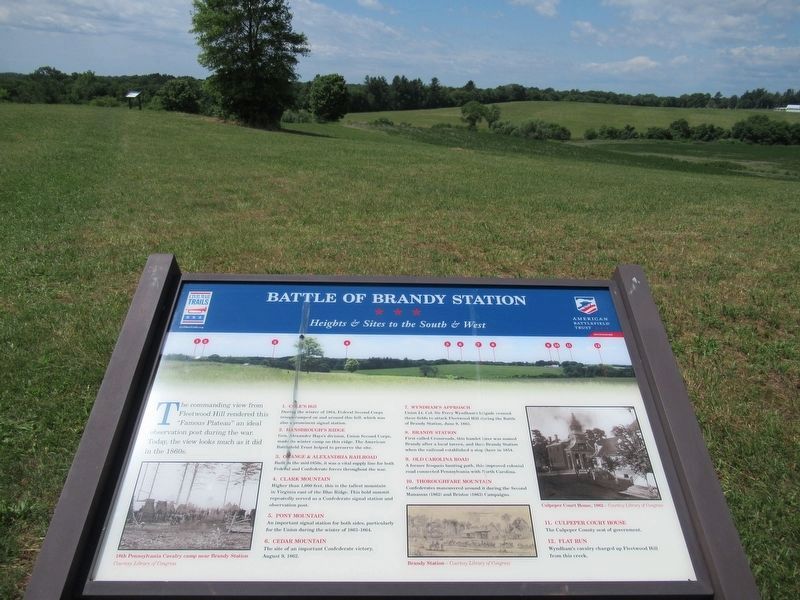
Photographed by Benjamin Harrison Allen, June 8, 2024
7. Battle of Brandy Station Marker
Credits. This page was last revised on June 17, 2024. It was originally submitted on March 31, 2019, by Brandon D Cross of Flagler Beach, Florida. This page has been viewed 718 times since then and 48 times this year. Last updated on August 10, 2020, by Bradley Owen of Morgantown, West Virginia. Photos: 1, 2, 3, 4, 5, 6. submitted on March 31, 2019, by Brandon D Cross of Flagler Beach, Florida. 7. submitted on June 12, 2024, by Benjamin Harrison Allen of Amissville, Virginia. • Bernard Fisher was the editor who published this page.
