Welcome to the Anthracite Heritage Walk
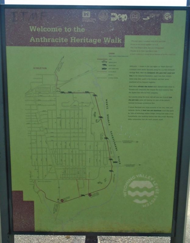
"[Fourty] years I worked with pick and drill
Down in the mines against my will,
The Coal King's slave, but now it's passed;
Thanks be to God I am free at last."
A miner's tombstone, in George Korson's
Minstrels of the Mine Patch, 1964
Anthracite — known in the coal region as "black diamond." A treasure trove awaits discovery along the 3.5-mile Anthracite Heritage Walk. Meet the immigrants who gave their sweat and lives to the Industrial Revolution. Learn how their children toiled away their youth in the breakers and their wives weathered all too frequent tragedies.
Read about railroads that hauled black diamond from mines to furnaces and companies that shaped the local economy. View the skyline that reflected their prosperity.
Your journey along this levee trail will take you through lush city park land, some still bearing the mark of the nation's foremost landscape architectural firm.
If nature fascinates you, enjoy accounts of our river, creek and wetlands. Stories of shad runs and steamboats recall days gone by. Tales of technology explore bridges linking both sides of the Susquehanna, plus pumping stations
this page online
Erected by Delaware & Lehigh National Heritage Corridor and Others.
Topics. This historical marker is listed in these topic lists: Architecture • Industry & Commerce • Waterways & Vessels. A significant historical year for this entry is 1964.
Location. 41° 15.339′ N, 75° 54.385′ W. Marker is in Kingston, Pennsylvania, in Luzerne County. It is on Wyoming Avenue (U.S. 11), on the left when traveling north. Touch for map. Marker is at or near this postal address: 40 South Wyoming Avenue, Kingston PA 18704, United States of America. Touch for directions.

Regionally, this marker is in Pennsylvania’s Anthracite Coal Region, in the Wyoming Valley, and in Greater Scranton and Wilkes-Barre. It is also in the American Northeast, in the Mid-Atlantic, in Appalachia, and specifically in Northern Appalachia. Globally, it is in North America, the Western Hemisphere, the Western World, and the Anglosphere. Historically, it finds itself in what was once the Haudenosaunee (Iroquois) Confederacy and also one of the original Thirteen Colonies.
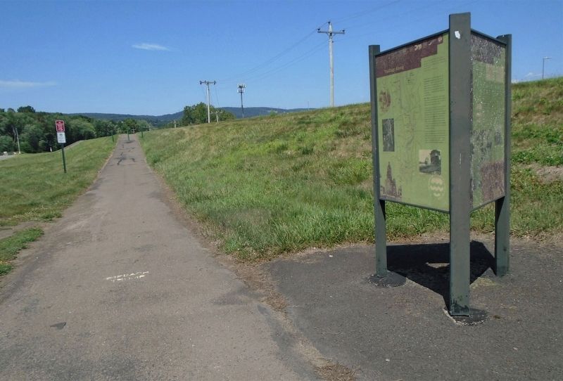
Other nearby markers. At least 8 other markers are within walking distance of this marker: What on Earth is a Levee? (here, next to this marker); Trailing Along (here, next to this marker); Anning Owen (approx. 0.7 miles away); Wyoming Seminary (approx. 0.7 miles away); Shafer House (approx. 0.7 miles away); Philip Jaisohn, M.D. (approx. 0.7 miles away); The Korean Garden (approx. 0.7 miles away); The Kirby Common (approx. 0.7 miles away). Touch for a list and map of all markers in Kingston.
Also see . . .
1. Luzerne County Historical Society. (Submitted on August 11, 2020, by William Fischer, Jr. of Reynoldsburg, Ohio.)
2. Pennsylvania Anthracite Heritage Museum. (Submitted on August 11, 2020, by William Fischer, Jr. of Reynoldsburg, Ohio.)
3. Delaware & Lehigh National Heritage Corridor. (Submitted on August 11, 2020, by William Fischer, Jr. of Reynoldsburg, Ohio.)
Credits. This page was last revised on August 11, 2020. It was originally submitted on August 11, 2020, by William Fischer, Jr. of Reynoldsburg, Ohio. This page has been viewed 299 times since then and 16 times this year. Photos: 1, 2. submitted on August 11, 2020, by William Fischer, Jr. of Reynoldsburg, Ohio.
