Mackinaw City in Cheboygan County, Michigan — The American Midwest (Great Lakes)
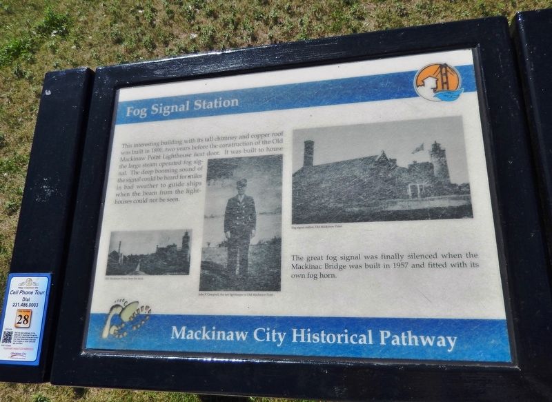
Fog Signal Station
Mackinaw City Historical Pathway
Photographed by Cosmos Mariner, August 28, 2014
1. Fog Signal Station Marker
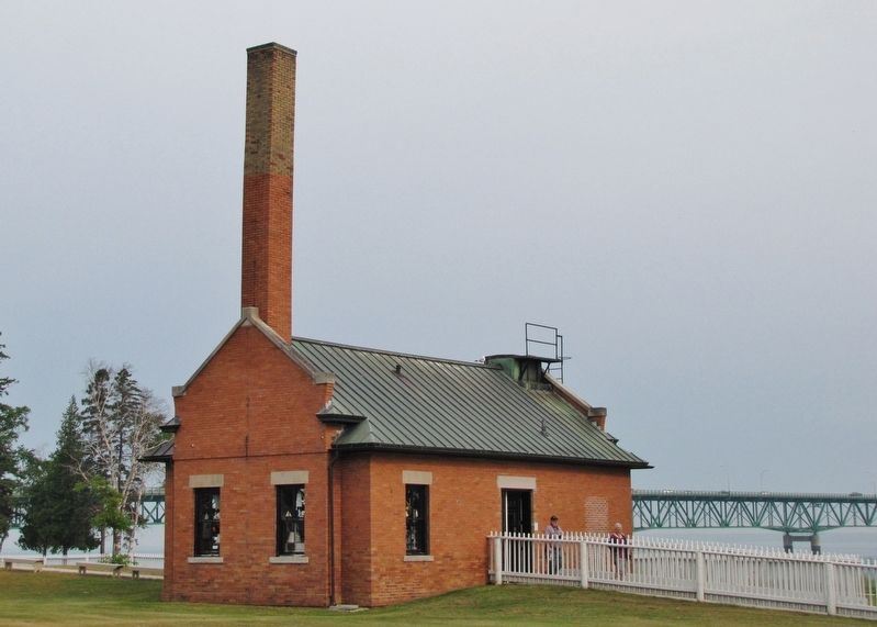
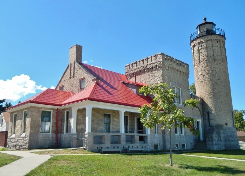
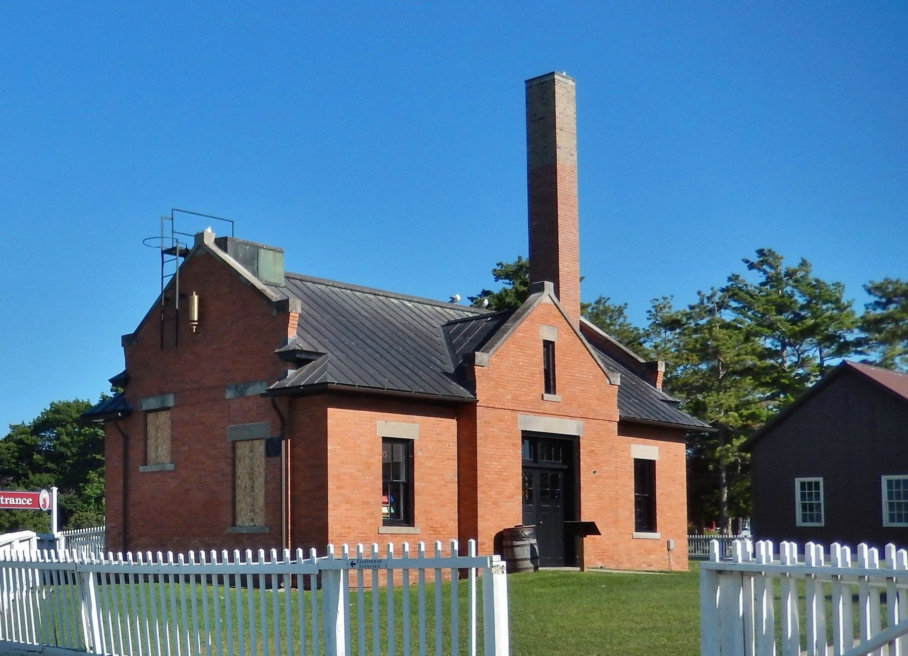
This interesting building with its tall chimney and copper roof was built in 1890, two years before the construction of the Old Mackinaw Point Lighthouse next door. It was built to house the large steam operated fog signal. The deep booming sound of the signal could be heard for miles in bad weather to guide ships when the beam from the lighthouses could not be seen.
The great fog signal was finally silenced when the Mackinac Bridge was built in 1957 and fitted with its own fog horn.
(photo captions)
• Old Mackinaw Point, from the dock.
• Fog Signal station, Old Mackinaw Point.
Erected by Mackinaw City Historical Pathway. (Marker Number 28.)
Topics and series. This historical marker is listed in these topic lists: Bridges & Viaducts • Waterways & Vessels. In addition, it is included in the Lighthouses series list. A significant historical year for this entry is 1890.
Location. 45° 47.273′ N, 84° 43.744′ W. Marker is in Mackinaw City, Michigan, in Cheboygan County. It can be reached from the intersection of North Huron Avenue and Ducharme Street when traveling north. Marker is located along the Mackinaw City Historical
this page online

Regionally, this marker is in Northern Michigan Lower Peninsula, on the Straits of Mackinac, and in one of the Lake Huron Shore counties. It is also in the American Midwest. Globally, it is in North America, in the Great North Woods, on the Great Lakes, in the Western Hemisphere, in the Western World, and in the Anglosphere. Historically, it finds itself in what was once the Northwest Territory.
Other nearby markers. At least 8 other markers are within walking distance of this marker: Lighthouses of the Mackinac Straits (within shouting distance of this marker); Old Mackinac Point Lighthouse (within shouting distance of this marker); Radio Beacon 1937/1938 (within shouting distance of this marker); Michilimackinac State Park (within shouting distance of this marker); Shipwrecks in the Straits (about 300 feet away, measured in a direct line); a different marker also named Crossroads of the Great Lakes
August 28, 2014
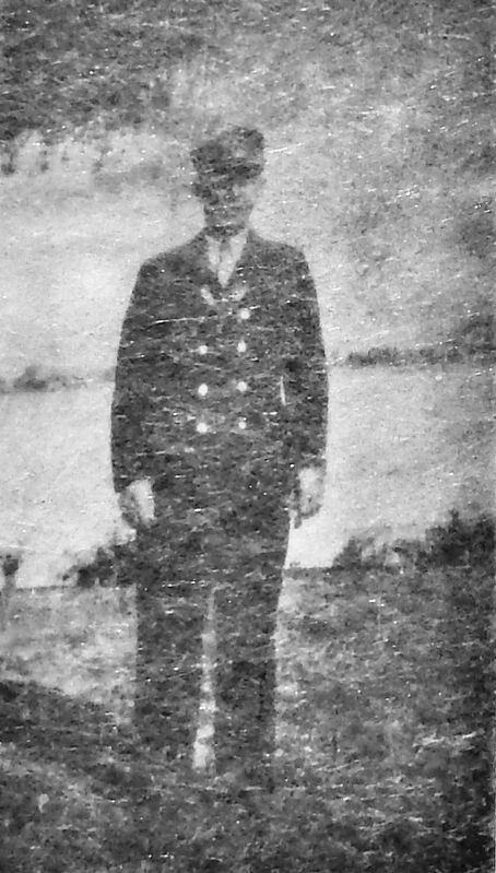
2. Marker detail: John P. Campbell, the last lightkeeper at Old Mackinaw Point
Another marker is no longer nearby. Crossroads of the Great Lakes (was about 300 feet away but has been replaced with another marker now near it).
Also see . . . The Fog Whistle. Mackinac State Historic Parks entry:
A fog whistle was actually the first thing built at Old Mackinac Point, going into operation in 1890, two years before the lighthouse itself was completed. The original fog whistle consisted of a corrugated metal building housing two locomotive-style steam boilers. Two 10-inch diameter steam whistles were mounted above the roof. Only one whistle and boiler were used at a time, with the other maintained as a redundant backup system. In 1906 the Lighthouse Service replaced the original fog whistle building with a new brick structure housing the old machinery. (Submitted on August 14, 2020, by Cosmos Mariner of Cape Canaveral, Florida.)
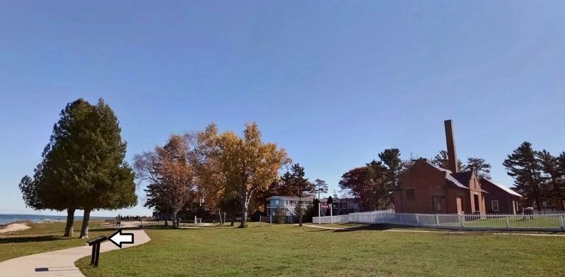
3. Fog Signal Station Marker
Photographed by Cosmos Mariner, July 20, 2011
4. Fog Signal Station
Photographed by Cosmos Mariner, August 28, 2014
5. Old Mackinaw Point Lighthouse
Photographed by Cosmos Mariner, July 29, 2017
6. Fog Signal Station
Credits. This page was last revised on January 9, 2022. It was originally submitted on August 12, 2020, by Cosmos Mariner of Cape Canaveral, Florida. This page has been viewed 366 times since then and 26 times this year. Photos: 1. submitted on August 13, 2020, by Cosmos Mariner of Cape Canaveral, Florida. 2, 3, 4, 5, 6. submitted on August 14, 2020, by Cosmos Mariner of Cape Canaveral, Florida.
