St. Augustine in St. Johns County, Florida — The American South (South Atlantic)
The Last Slave Cabin
Accord Freedom Trail
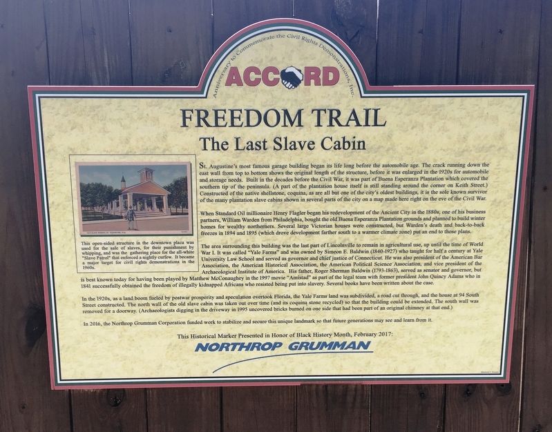
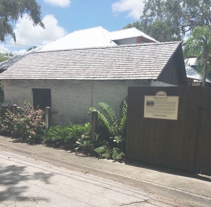
St. Augustine’s most famous garage building began its life long before the automobile age. The crack running down the east wall from top to bottom shows the original length of the structure, before it was enlarged in the 1920s for automobile and storage needs. Built in the decades before the Civil War, it was part of Buena Esperanza Plantation which covered the southern tip of the peninsula. (A part of the plantation house itself is still standing around the corner on Keith Street.) Constructed of the native shellstone, coquina, as are all but one of the city’s oldest buildings, it is the sole known survivor of the many plantation slave cabins shown in several parts of the city on a map made here right on the eve of the Civil War.
When Standard Oil millionaire Henry Flagler began his redevelopment of the Ancient City in the 1880s, one of his business partners, William Warden from Philadelphia, bought the old Buena Esperanza Plantation grounds and planned to build winter homes for wealthy northerners. Several large Victorian houses were constructed, but Warden’s death and back-to-back freezes in 1894 and 1895 (which drove development farther south to a warmer climate zone) put an end to those plans.
The area surrounding this building was the last part of Lincolnville to remain in agriculture use, up until the time of World War I. It was called “Yale Farms” and was owned by Simeon E. Baldwin (1840-1927) who thought for half a century at Yale University Law School and served as governor and chief justice of Connecticut. He was also president of the American Bar Association, the American Historical Association, the American Political Science Association, vice president of the Archaeological Institute of America. His father, Roger Sherman Baldwin (1793-1863), served as senator and governor, but is best known today for having been played by Mathew McConaughey in the 1997 movie “Armistad” as part of the legal team with former president John Quincy Adams who in 1841 successfully obtained the freedom of illegally kidnapped Africans who resisted being put into slavery. Several books have been written about the case.
In the 1920s, as a land boom fueled by postwar property and speculation overtook Florida, the Yale Farms land was subdivided, a road cut through, and the house at 94 South Street constructed. The north wall of the old slave cabin was taken out over time (and its coquina stone recycled) so that the building could be extended. The south wall was removed for a doorway. (Archaeologists digging in the driveway in 1995 uncovered bricks burned on one side that had been part of the original chimney at the end.)
In 2016, the Northrop Grumman Corporation funded work to stabilize and secure this unique landmark so that future generations may see and learn from it.
Northrop Grumman
Erected 2017 by Northrop Grumman.
Topics. This historical marker is listed in these topic lists: Abolition & Underground RR • African Americans • Settlements & Settlers.
Location. 29° 52.962′ N, 81° 18.77′ W. Marker is in St. Augustine, Florida, in St. Johns County. Marker is on Blanco Street north of South Street, on the left when traveling north. Touch for map. Marker is in this post office area: Saint Augustine FL 32084, United States of America. Touch for directions.
Other nearby markers. At least 8 other markers are within walking distance of this marker. A different marker also named Last Slave Cabin (a few steps from this marker); 94 South Street (within shouting distance of this marker); 156 M.L. King Avenue (about 300 feet away, measured in a direct line); 160 M.L. King Avenue (about 500 feet away); Reverend Goldie M. Eubanks (approx. 0.2 miles away); 177 Twine Street (approx. 0.2 miles away); 111 Lincoln Street (approx. 0.2 miles away); Twine Park (approx. 0.2 miles away). Touch for a list and map of all markers in St. Augustine.

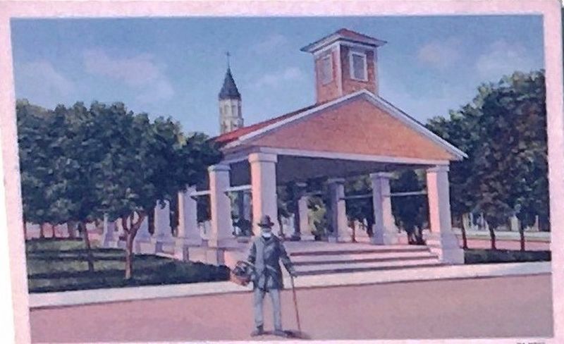
3. Illustration Insert: Slave Market
This open-sided structure in the downtown plaza was
used for the sale of slaves, for their punishment by
whipping, and was the gathering place for all-white
“Slave Patrol” that enforced a nightly curfew. It became
a major target for civil rights demonstrations in the
1960s.
used for the sale of slaves, for their punishment by
whipping, and was the gathering place for all-white
“Slave Patrol” that enforced a nightly curfew. It became
a major target for civil rights demonstrations in the
1960s.
Credits. This page was last revised on September 5, 2020. It was originally submitted on August 12, 2020, by Brandon D Cross of Flagler Beach, Florida. This page has been viewed 647 times since then and 111 times this year. Photos: 1, 2, 3. submitted on August 12, 2020, by Brandon D Cross of Flagler Beach, Florida. • Bernard Fisher was the editor who published this page.

