Nanjemoy in Charles County, Maryland — The American Northeast (Mid-Atlantic)
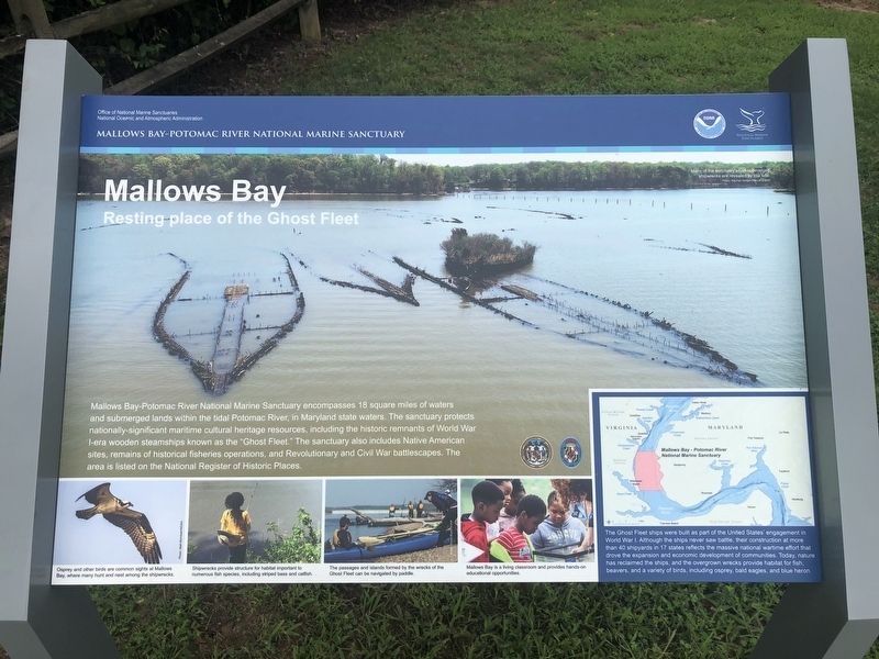
Mallows Bay
Resting place of the Ghost Fleet
— Mallows Bay-Potomac River National Marine Sanctuary —
Mallows Bay-Potomac River National Marine Sanctuary encompasses 18 square miles of waters and submerged lands within the tidal Potomac River, in Maryland state waters. The sanctuary protects nationally-significant maritime cultural heritage resources, including the historic remnants of World War I-era wooden steamships known as the "Ghost Fleet." The sanctuary also includes Native American sites, remains of historical fisheries operations, and Revolutionary and Civil War battlescapes. The area is listed in the National Register of Historic Places.
[Aside:]
The Ghost Fleet ships were built as part of the United States' engagements in World War I. Although the ships never saw battle, their construction at more than 40 shipyards in 17 states reflects the massive national wartime efforts that drove the expansion and economic development of communities. Today, nature has reclaimed the ships, and the overgrown wrecks provide habitat for fish, beavers, and a variety of birds, including osprey, bald eagles, and blue heron.
Erected by Office of National Marine Sanctuaries, National Oceanic and Atmospheric Atmospheric Administration, U.S. Department of Commerce.
Topics. This historical marker is listed in these topic lists: Environment • Industry & Commerce • War, World I • Waterways & Vessels.
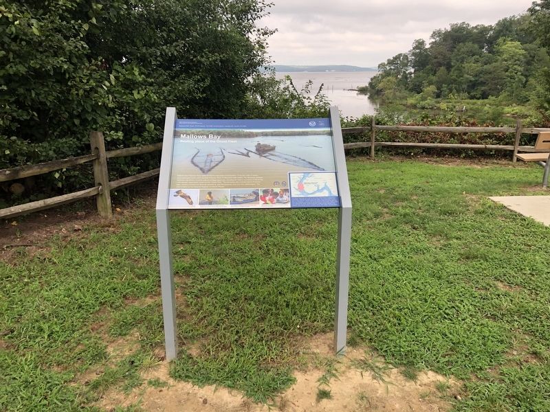
Location. 38° 28.096′ N, 77° 15.821′ W. Marker is in Nanjemoy, Maryland, in Charles County. Marker is on Wilson Landing Road, 0.7 miles west of Riverside Road (Maryland Route 224) when traveling west. Touch for map. Marker is at or near this postal address: 1440 Wilson Landing Rd, Nanjemoy MD 20662, United States of America. Touch for directions.
Other nearby markers. At least 8 other markers are within 3 miles of this marker, measured as the crow flies. A different marker also named Mallows Bay (within shouting distance of this marker); Points of Interest (about 300 feet away, measured in a direct line); Archeology Reveals Outbuildings (approx. 1.8 miles away); Life Cycle of a House (approx. 1.8 miles away); Memories of Douglas Point (approx. 1.8 miles away); Minister's House, Family Farm (approx. 1.8 miles away); Unique Environment (approx. 1.8 miles away); Washington's Farm (approx. 2.7 miles away). Touch for a list and map of all markers in Nanjemoy.
Credits. This page was last revised on August 14, 2020. It was originally submitted on August 14, 2020, by Devry Becker Jones of Washington, District of Columbia. This page has been viewed 182 times since then and 24 times this year. Photos: 1, 2. submitted on August 14, 2020, by Devry Becker Jones of Washington, District of Columbia.

