Mackinaw City in Emmet County, Michigan — The American Midwest (Great Lakes)
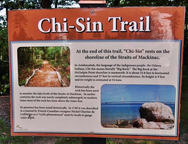
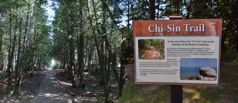
Chi-Sin Trail
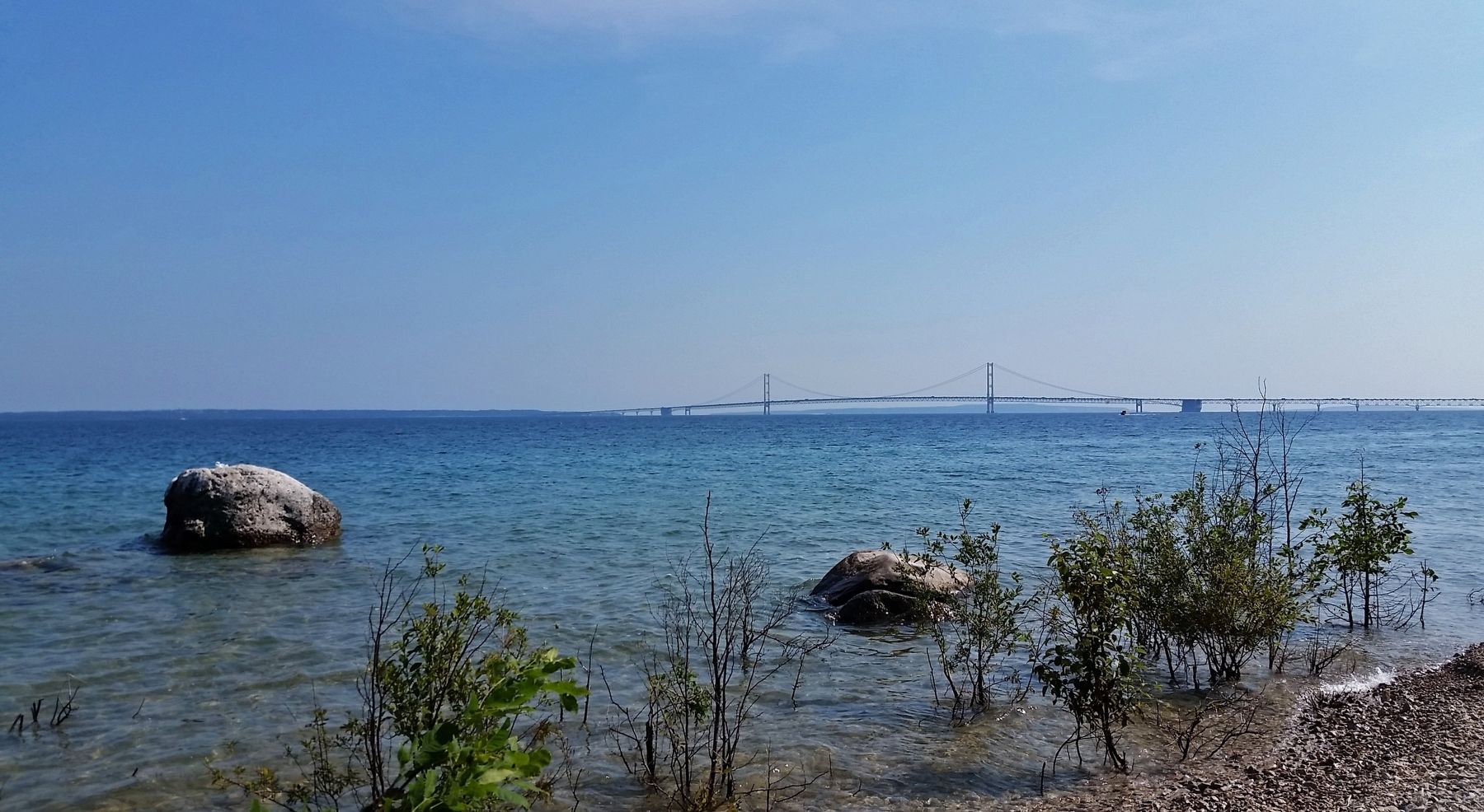
In Anishnaabek, the language of the indigenous people, the Odawa Indians, Chi-Sin means literally "Big Rock." The Big Rock at the McGulpin Point shoreline is mammoth: It is about 33.8 feet in horizontal circumference and 37 feet in vertical circumference. Its height is 9 feet and its weight is estimated at 54 tons.
Historically the rock has been used to monitor the lake levels of the Straits of Mackinac. In earlier centuries the rock was nearly completely submerged; in modern times most of the rock has been above the water line.
Its presence has been noted historically. In 1749 it was described in a journal by French-Canadian voyageur Michel Chartier de Lotbinière as a "cyclic phenomenon" used by locals to gauge water depth.
Topics. This historical marker is listed in these topic lists: Native Americans • Waterways & Vessels. A significant historical year for this entry is 1749.
Location. 45° 47.225′ N, 84° 46.368′ W. Marker is in Mackinaw City, Michigan, in Emmet County. Marker can be reached from Headlands Road north of McGulpin Point Road, on the right when traveling north. Marker is located along the Chi-Sin Trail at McGulpin Point Lighthouse & Historic Site. Touch for map. Marker is at or near this postal address: 500 Headlands Road, Mackinaw City MI 49701, United States of America. Touch for directions.
Other nearby markers. At least 8 other markers are within walking distance of this marker. Crossing the Straits (here, next to this marker); Keeper 1879-1906 (a few steps from this marker); Cedarville (a few steps from this marker); Carl D. Bradley (a few steps from this marker); Eber Ward (a few steps from this marker); James W. Bennett (a few steps from this marker); Minneapolis (a few steps from this marker); William H. Barnum (within shouting distance of this marker). Touch for a list and map of all markers in Mackinaw City.
Credits. This page was last revised on August 17, 2020. It was originally submitted on August 14, 2020, by Cosmos Mariner of Cape Canaveral, Florida. This page has been viewed 291 times since then and 15 times this year. Photos: 1. submitted on August 15, 2020, by Cosmos Mariner of Cape Canaveral, Florida. 2, 3. submitted on August 17, 2020, by Cosmos Mariner of Cape Canaveral, Florida.


