Voyageurs Forest
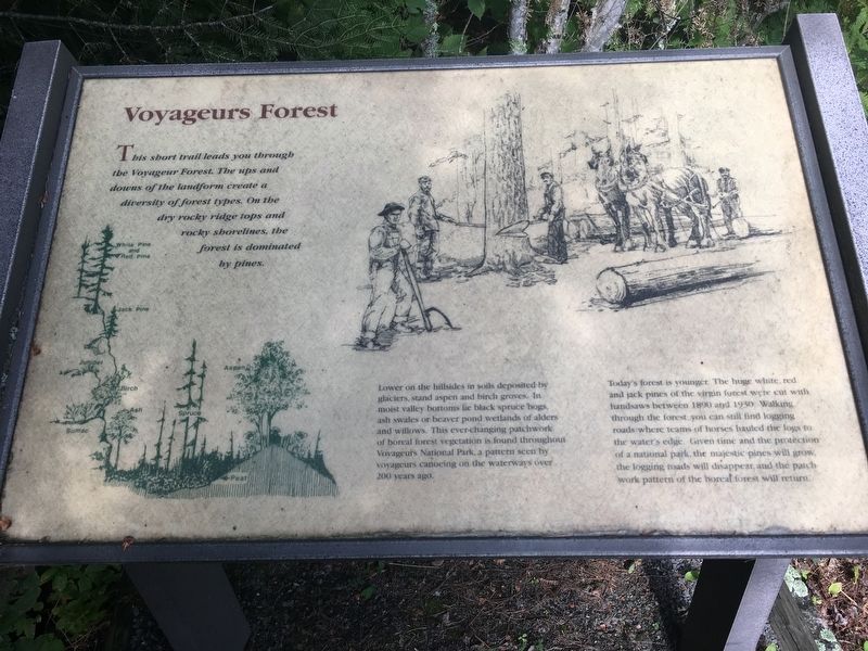
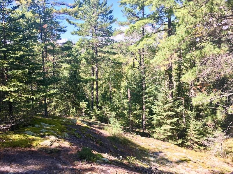
Lower on the hillside in soils deposited by glaciers, stand aspen and birch groves. In moist valley bottoms lie black spruce bogs, ash swales or beaver pond wetlands of alders and willows. This eve-changing patchwork of boreal forest vegetation is found throughout Voyageurs National Forest, a pattern seen by voyageurs canoeing on the waterways over 200 years ago.
Today's forest is younger. The huge white, red and jack pines of the virgin forest were cut with handsaws between 1890 and 1930. Walking through the forest you can still find logging roads where teams of horses hauled the logs to the water's edge. Given time and the protection of a natural park, the majestic pines will grow, the logging roads will disappear and the patchwork pattern of the boreal forest will return.
Topics. This historical marker is listed in these topic lists: Environment • Horticulture & Forestry • Parks & Recreational Areas. A significant historical year for this entry is 1890.
Location. 48° 24.46′ N,
this page online

Regionally, this marker is in Minnesota’s Arrowhead Region and in the Iron Range. It is also in the American Midwest and in the Corn Belt. Globally, it is in North America, in the Great North Woods, on the Great Lakes, in the Western Hemisphere, in the Western World, and in the Anglosphere. Historically, it finds itself in what was once the Viceroyalty of New France, Rupert’s Land, the territory of the Mississippian Culture, and the Northwest Territory.
Credits. This page was last revised on January 23, 2021. It was originally submitted on August 12, 2020, by Connor Olson of Menomonee Falls, Wisconsin. This page has been viewed 279 times since then and 13 times this year. Last updated on August 14, 2020, by Connor Olson of Menomonee Falls, Wisconsin. Photos: 1, 2. submitted on August 12, 2020, by Connor Olson of Menomonee Falls, Wisconsin. • Mark Hilton was the editor who published this page.
Editor’s want-list for this marker. A wide shot of the marker and its surroundings. • • Can you help?
