Marker Logo HMdb.org THE HISTORICAL
MARKER DATABASE
“Bite-Size Bits of Local, National, and Global History”
Chatham in Washington County, Mississippi — The American South (East South Central)
 

Old Highway 1


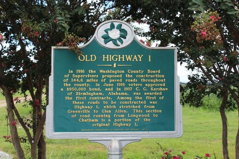
Old Highway 1 Marker image. Click for full size.
Photographed By Tom Bosse, July 25, 2020
1. Old Highway 1 Marker
Inscription. In 1916 the Washington County Board of Supervisors proposed the construction of 144.6 miles of paved roads throughout the county. In June 1916 voters approved a $950,000 bond, and in 1917 C.G. Kershaw of Birmingham, Alabama, was awarded the first contracts. Among the first of these roads to be constructed was Highway 1, which stretched from Greenville to Glen Allen. This section of road running from Longwood to Chatham is a portion of the original Highway 1.
 
Erected 2010 by Mississippi Department of Archives and History.
 
Topics and series. This historical marker is listed in this topic list: Roads & Vehicles. In addition, it is included in the Mississippi State Historical Marker Program series list. A significant historical month for this entry is June 1916.
 
Location. 33° 6.322′ N, 91° 4.601′ W. Marker is in Chatham, Mississippi, in Washington County. Marker is at the intersection of Roy's Store Road and Patton Road, on the left when traveling north on Roy's Store Road. Touch for map. Marker is in this post office area: Chatham MS 38731, United States of America. Touch for directions.
 
Other nearby markers. At least 8 other markers are within 8 miles of this marker, measured as the crow flies. Cotton Storage House (approx. 1.3 miles away); Law Mounds (approx. 3.6 miles away); Swan Lake Mounds (approx. 4.7 miles away);
Paid Advertisement
Click on the ad for more information.
Please report objectionable advertising to the Editor.
Click or scan to see
this page online
Jesse Crowell (approx. 6.6 miles away); In Remembrance (approx. 6.6 miles away); St. John's Church (approx. 6.6 miles away); Hampton Plantation (approx. 6.7 miles away); Cariola Landing (approx. 7.8 miles away in Arkansas).
 
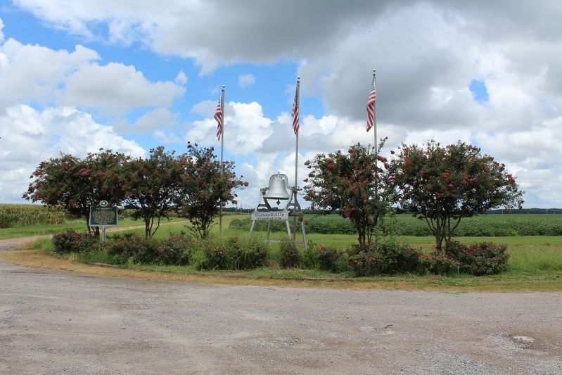
Old Highway 1 Marker image. Click for full size.
Photographed By Tom Bosse, July 25, 2020
2. Old Highway 1 Marker
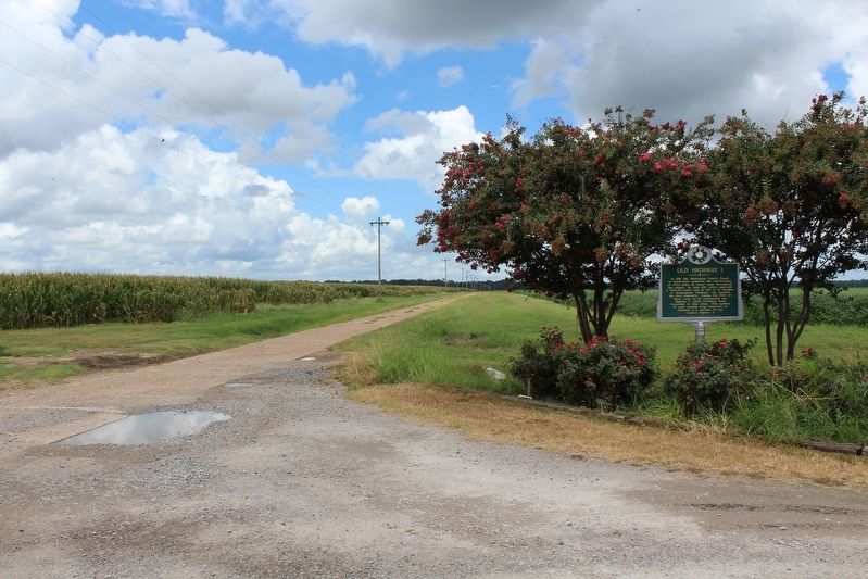
Old Highway 1 Marker and Old Highway 1 (Patton Road) image. Click for full size.
Photographed By Tom Bosse, July 25, 2020
3. Old Highway 1 Marker and Old Highway 1 (Patton Road)
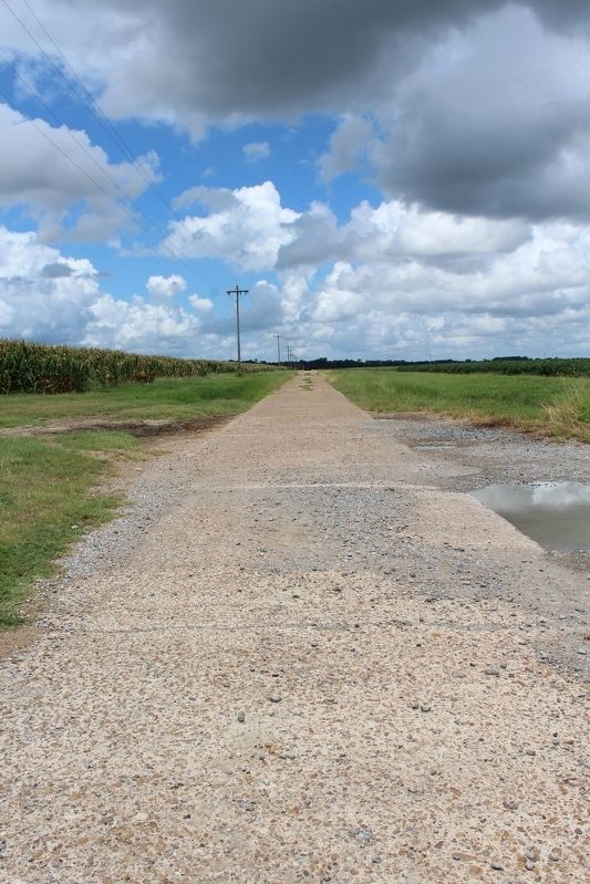
Old Highway 1 (Patton Road) image. Click for full size.
Photographed By Tom Bosse, July 25, 2020
4. Old Highway 1 (Patton Road)
 
 
Credits. This page was last revised on August 16, 2020. It was originally submitted on August 15, 2020, by Tom Bosse of Jefferson City, Tennessee. This page has been viewed 226 times since then and 18 times this year. Photos:   1, 2, 3, 4. submitted on August 15, 2020, by Tom Bosse of Jefferson City, Tennessee. • Bernard Fisher was the editor who published this page.
Share this page.  
Share on Tumblr
m=154743

CeraNet Cloud Computing sponsors the Historical Marker Database.
This website earns income from purchases you make after using our links to Amazon.com. We appreciate your support.
Paid Advertisement
Apr. 23, 2024