Lyon in Coahoma County, Mississippi — The American South (East South Central)
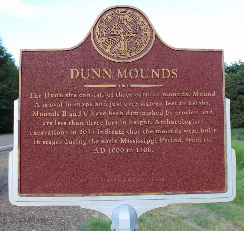
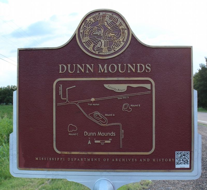
Dunn Mounds
— Mississippi Mound Trail —
Erected by Mississippi Department of Archives and History.
Topics and series. This historical marker is listed in these topic lists: Anthropology & Archaeology • Native Americans. In addition, it is included in the Mississippi Mound Trail series list.
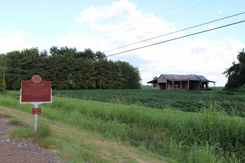
Location. 34° 13.021′ N, 90° 28.575′ W. Marker is in Lyon, Mississippi, in Coahoma County. Marker is on State Highway 6, half a mile east of Crum Road, on the right when traveling east. Touch for map. Marker is in this post office area: Lyon MS 38645, United States of America. Touch for directions.
Other nearby markers. At least 8 other markers are within 6 miles of this marker, measured as the crow flies. Rocket “88” (approx. 3.7 miles away); James L. Alcorn (approx. 4.8 miles away); Clarksdale (approx. 5.2 miles away); Sam Cooke (approx. 5.6 miles away); Hopson Plantation (approx. 5.6 miles away); Wade Walton (approx. 5.6 miles away); W. C. Handy (approx. 5.6 miles away); Dr. Aaron Henry (approx. 5.6 miles away).
Credits. This page was last revised on August 16, 2020. It was originally submitted on August 16, 2020, by Tom Bosse of Jefferson City, Tennessee. This page has been viewed 259 times since then and 38 times this year. Photos: 1, 2, 3. submitted on August 16, 2020, by Tom Bosse of Jefferson City, Tennessee. • Bernard Fisher was the editor who published this page.


