Near Lamont in Bolivar County, Mississippi — The American South (East South Central)
The Great Flood of 1927
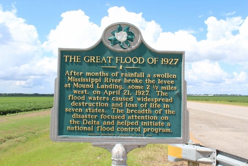
Photographed by Tom Bosse, July 25, 2020
1. The Great Flood of 1927 Marker
Erected 2002 by Mississippi Department of Archives and History.
Topics and series. This historical marker is listed in these topic lists: Disasters • Waterways & Vessels. In addition, it is included in the Mississippi State Historical Marker Program series list. A significant historical date for this entry is April 21, 1927.
Location. Marker has been reported missing. It was located near 33° 33.677′ N, 91° 4.999′ W. Marker was near Lamont, Mississippi, in Bolivar County. It was on State Highway 1 0.6 miles north of Avondale Road, on the left when traveling north. Touch for map. Marker was in this post office area: Scott MS 38772, United States of America. Touch for directions.

Regionally, this marker was in the American South, specifically in the Deep South, in the Mississippi Delta, and in the Great
this page online
Other nearby markers. At least 8 other markers are within 8 miles of this location, measured as the crow flies: Mississippi River Blues: The 1927 Flood (approx. 2.3 miles away); William Fisher Johnson (approx. 4.1 miles away); Winterville Mounds (approx. 5.3 miles away); Symbols Tell Stories (approx. 5.3 miles away); Winterville (approx. 5.3 miles away); Eddie Taylor (approx. 7½ miles away); Eddie Shaw (approx. 7.6 miles away); Arkansas City River Port (approx. 7.6 miles away in Arkansas).
Also see . . .
1. Great Mississippi Flood of 1927. Wikipedia (Submitted on August 16, 2020, by Tom Bosse of Jefferson City, Tennessee.)
2. 'Mississippi Heavy Water Blues' BARBECUE BOB, Georgia Blues Guitar Legend (video). YouTube (Submitted on August 16, 2020, by Tom Bosse of Jefferson City, Tennessee.)
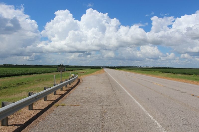
Photographed by Tom Bosse, July 25, 2020
2. The Great Flood of 1927 Marker
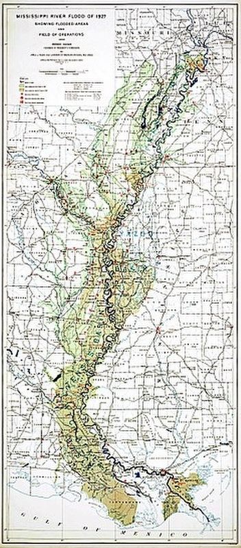
3. The Great Mississippi Flood of 1927
Credits. This page was last revised on June 18, 2023. It was originally submitted on August 16, 2020, by Tom Bosse of Jefferson City, Tennessee. This page has been viewed 1,570 times since then and 109 times this year. Photos: 1, 2, 3. submitted on August 16, 2020, by Tom Bosse of Jefferson City, Tennessee. • Bernard Fisher was the editor who published this page.
