
Downsville in Delaware County, New York — The American Northeast (Mid-Atlantic)
Downsville Covered Bridge
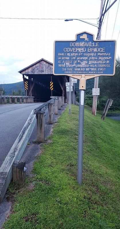
Photographed by Jordan Romano
1. Downsville Covered Bridge Marker
To Span 174' of the East Branch
At a Cost of $1,700. Restored in
1998 For $1,000,000 as a Tribute
To the Skills of the Past.
Erected by Downsville Women's Club.
Topics and series. This historical marker is listed in these topic lists: Bridges & Viaducts • Roads & Vehicles. In addition, it is included in the Covered Bridges series list. A significant historical year for this entry is 1854.
Location. 42° 4.588′ N, 74° 59.463′ W. Marker is in Downsville, New York, in Delaware County. It is on Bridge Street (New York State Route 30) 0.1 miles south of Route 206, on the right. Touch for map. Marker is in this post office area: Downsville NY 13755, United States of America. Touch for directions.

Regionally, this marker is in Upstate New York and in the Southern Tier. It is also in the American Northeast, in the Mid-Atlantic, in Appalachia, and specifically in Northern Appalachia. Globally, it is in North America, the Western Hemisphere, the Western World, and the Anglosphere. Historically, it finds itself in what was once New Netherland and also one of the original Thirteen Colonies.
Other nearby markers. At least 8 other markers are within 8 miles of this marker, measured as the crow flies: A different marker also named Downsville Covered Bridge (about 300 feet away, measured in a direct line); Home of Fred Odwell (approx. half a mile away); Patriot Burials (approx. 6½ miles away); 1828 - 1858 (approx. 6.6 miles away); Town Of Hamden (approx. 6.6 miles away); Wakeman Cemetery (approx. 7.2 miles away); William B. Ogden (approx. 7.4 miles away); Town of Hamden (approx. 7.7 miles away). Touch for a list and map of all markers in Downsville.
Also see . . . Downsville Covered Bridge - National Archives. National Register of Historic Places
this page online
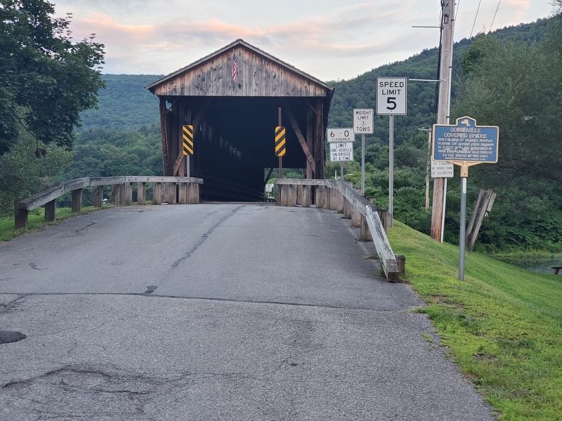
Photographed by Jordan Romano, August 1, 2020
2. Downsville Covered Bridge Marker
Credits. This page was last revised on February 17, 2025. It was originally submitted on August 17, 2020, by Jordan Romano of Kings Park, New York. This page has been viewed 372 times since then and 44 times this year. Photos: 1, 2. submitted on August 17, 2020, by Jordan Romano of Kings Park, New York. • Bill Pfingsten was the editor who published this page.
