Paducah in McCracken County, Kentucky — The American South (East South Central)
Federal Occupation of Paducah
September 6, 1861
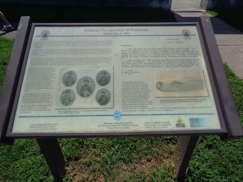
Rumors of an intended occupation by the Federal Army circulated among the town's citizens but after several days the rumors were no longer believed creditable. Excitement flared again on 4 September when Confederate Major General Leonidas Polk occupied strategic Columbus, Kentucky, fifty miles downstream from Paducah on the Mississippi River. Paducahans expected the Confederate Army to march into their city at any time and were flying Confederate national colors in anticipation.
One the morning of 6 September, a report was brought to the mayor that three Federal steamboats had landed troops below the city and were marching on the town. The 9th and 12th Illinois Infantry and Smith's Battery of Artillery, about 1,800 men, had come ashore. When the citizens became aware of the intended occupation they erupted in an uproar. Men, women and children were terrified and did their best to evacuate town. However, their efforts were thwarted. Federal troops had already moved around the town and blocked each of the streets out of the city.
While the troops blocked escape, two gunboats the Tyler and the Conestoga landed at the foot of Broadway. Soon a guard detail found the mayor and escorted him to the Tyler. On board, he was introduced to Brigadier General U.S. Grant. Grant informed the mayor that Federal troops were going to occupy Paducah and that as long as the people behaved and did not interfere with the military they would not be molested; but would be protected. The mayor was then told to inform the people.
A short time later the mayor was arrested by Brigadier General Paine and held for most of the day and then released after having received ill treatment at the hands of the general.
Grant came ashore and proceeded to the foot of Broadway and Water Street where he issued the following proclamation:
Proclamation:
September 1861
Paducah, Kentucky
I have come among you not as an enemy, but as your fellow citizen; not to maltreat or annoy you, but to enforce the rights of all loyal citizens. An enemy, in rebellion against our common government, has taken possession of and planted its guns on the soil of Kentucky, and has fired upon you.
Columbus and Hickman are in its hands. He is moving upon your city. I am here to defenzd you against the enemy, to assist the authority and sovereignty of your government.
I have nothing to do with opinions and deal only with armed rebellion into its aiders and abettors. You can pursue your usual avocations without fear. The strong arm of the government is here to protect its friends and punish its enemies. Whenever it is manifest that you are able to defend yourselves and maintain the authority of the government, I shall withdraw my command.
U.S. Grant
Brigadier General
U.S. Army
Leaving Paine in Paducah to command the occupation forces, Grant gave him orders to assume command of the post, make such disposal of the forces to best enable retraining possession and control of the city and quarter some of the troops in the Marine Hospital near the river at the end of 4th Street between Park Avenue and Clay Street. He authorized Paine to build fortifications and redoubts necessary to guard government property. Private dwellings were not to be entered or searched with out specific orders and strict discipline was to be enforced against any soldier insulting citizens or plundering.
Erected by Kentucky Transportation Cabinet. (Marker Number 21.)
Topics. This historical marker is listed in these topic lists: War, US Civil • Waterways & Vessels. A significant historical date for this entry is September 6, 1861.
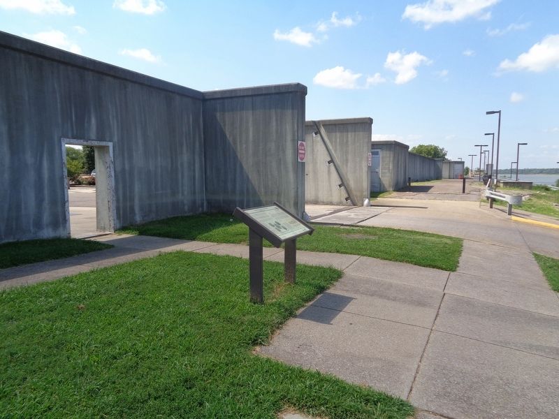
Location. 37° 5.295′ N, 88° 35.64′ W. Marker is in Paducah, Kentucky, in McCracken County. Marker is on The Foot of Broadway east of Water Street, on the right when traveling east. Marker is located at Paducah's Riverfront park, in front of the levee wall. Touch for map. Marker is at or near this postal address: 28 The Foot of Broadway, Paducah KY 42001, United States of America. Touch for directions.
Other nearby markers. At least 8 other markers are within walking distance of this marker. Paleo and Archaic Indians (a few steps from this marker); Woodland and Mississippian Indians (a few steps from this marker); Historic River Front (a few steps from this marker); Chickasaw Tribe in Kentucky (a few steps from this marker); First County Seat - Braxton Small (within shouting distance of this marker); Iced Solid - Clear to Illinois! (within shouting distance of this marker); Robert S. Davis (within shouting distance of this marker); Marine Ways (within shouting distance of this marker). Touch for a list and map of all markers in Paducah.
Credits. This page was last revised on August 17, 2020. It was originally submitted on August 17, 2020, by Jason Voigt of Glen Carbon, Illinois. This page has been viewed 523 times since then and 36 times this year. Photos: 1, 2. submitted on August 17, 2020, by Jason Voigt of Glen Carbon, Illinois.

