Paducah in McCracken County, Kentucky — The American South (East South Central)
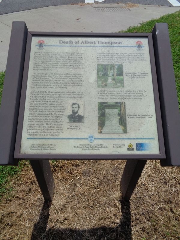
Death of Albert Thompson
The Third fought with distinction at Shiloh, sustaining significant casualties. It was then assigned to the Army of West Tennessee. The Third also saw major action at the Battle of Champion's Hill in 1863. Greatly reduced in number due to the losses it had sustained in battle, the Third was assigned to serve with General Nathan Bedford Forrest after the fall of Vicksburg.
In March 1864 the Third participated in Forrest's raid on Paducah. For most of the troops this was a return home. On the 25th they encountered Union pickets three miles from the city, but drove the pickets back nearly to Fort Anderson. Unlike most Civil War battles which were fought in open fields the Third fought federal troops in the streets of Paducah. Federal forces took refuge in Fort Anderson and the Third accomplished its mission by keeping federal troops in the fort while the rest of Forrest's troops collected horses and supplies. The Confederates withdrew after the raid had accomplished its major objectives - obtaining supplies and horses - leaving the federal troops in Fort Anderson.
Casualties were light, but included Colonel Thompson who was struck by an exploding artillery shell from a river gunboat while urging his troops forward for their final assault before withdrawing. Thompson was killed instantly only two blocks from his home.
Colonel Thompson is buried with his first wife in the Bowman Cemetery, State Route 2075 in Calloway County. His tombstone refers to him as General A.P. Thompson - perhaps a posthumous promotion.
Erected by Kentucky Transportation Cabinet. (Marker Number 25.)
Topics. This historical marker is listed in these topic lists: Cemeteries & Burial Sites • War, US Civil.
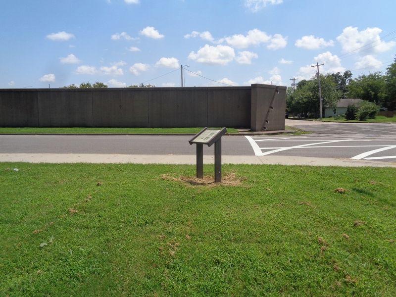
Location. 37° 5.545′ N, 88° 36.184′ W. Marker is in Paducah, Kentucky, in McCracken County. Marker is at the intersection of North 5th Street and Park Street, on the right when traveling north on North 5th Street. Marker is in front of the parking lot of Paducah Convention Center. Touch for map. Marker is at or near this postal address: 415 Park Street, Paducah KY 42001, United States of America. Touch for directions.
Other nearby markers. At least 8 other markers are within walking distance of this marker. A Paducah CSA Hero (here, next to this marker); 8th U.S. Colored Heavy Artillery
(a few steps from this marker); Fort Anderson (within shouting distance of this marker); Grant's Proclamation (within shouting distance of this marker); Battle of Paducah-March 1864 (within shouting distance of this marker); Quilt Title: …And Our Flag Was Still There!, 2013 (within shouting distance of this marker); Quilt Title: Corona II: Solar Eclipse, 1989 (within shouting distance of this marker); The Flood Wall / The 1937 Flood (about 300 feet away, measured in a direct line). Touch for a list and map of all markers in Paducah.
Credits. This page was last revised on August 18, 2020. It was originally submitted on August 18, 2020, by Jason Voigt of Glen Carbon, Illinois. This page has been viewed 298 times since then and 33 times this year. Photos: 1, 2. submitted on August 18, 2020, by Jason Voigt of Glen Carbon, Illinois.

