Paducah in McCracken County, Kentucky — The American South (East South Central)
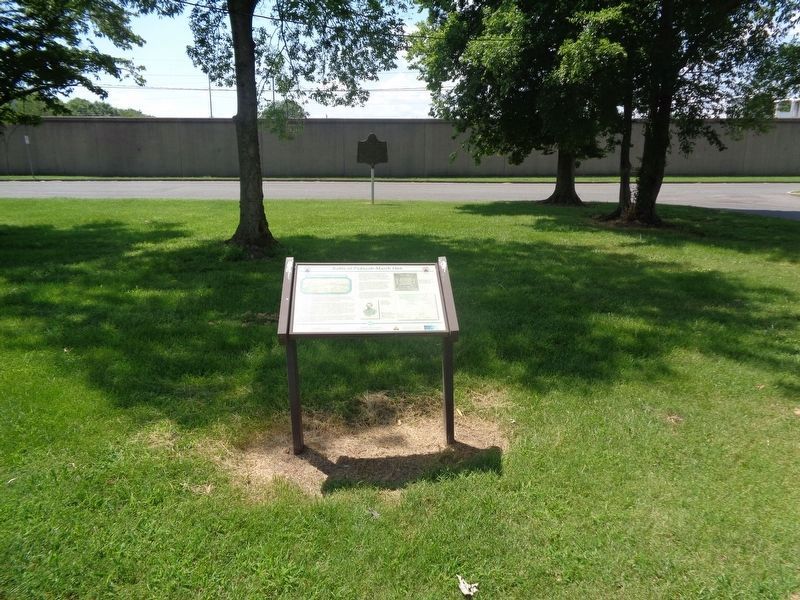
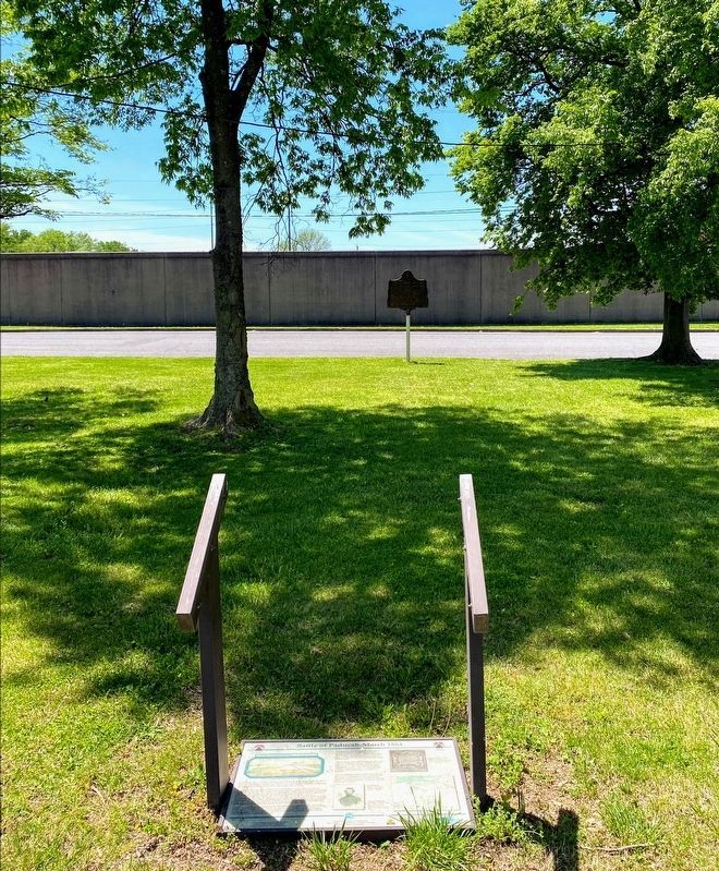
Battle of Paducah-March 1864
With about 2,500 men, most of which were in Brigadier General Abram Buford's 2nd Division, the Confederates quickly overran six outlying redoubts that guarded each of the streets coming into the city. Colonel A.P. Thompson, commanding the Kentucky Brigade, moved through the city pursuing the Federal troops who retreated into Fort Anderson, a Mahan style earthen fort named after John Anderson the Kentuckian who had surrendered Fort Sumner. The fort was near the river at the west end of 4th Street between Park Avenue and Clay Street. Thompson surrounded the fort with the 3rd and 7th Kentucky Mounted Infantry. The 8th Kentucky Mounted and the 12th Kentucky Cavalry, along with other units, were dispatched to other parts of the city to gather supplies and horses they needed and to destroy the Federal property they could not carry away.
Colonel S.G. Hicks, who commanded the fort, had 665 men available in the 122nd Illinois Infantry, 16th Kentucky Cavalry and the 8th United States Colored Artillery (Heavy), as well as the support of two gunboats (Peosta and Paw Paw) in the Ohio River. Skirmishing continued around the fort until 4:30 PM when a demand for surrender was sent into the fort. Colonel Hicks refused to surrender.
No assault was planned against the fort, but as Colonel Thompson was gathering his men a percussion shell struck him, exploded and killed him instantly. The horse he rode ran a block and died. Colonel Thompson had been a lawyer in Paducah before the war and was killed three blocks from his home.
After burning some Federal confiscated cotton and a steamer in dry dock, Forrest withdrew the next morning to Mayfield with fifty prisoners, four hundred horses and a large quantity of supplies. Confederate casualties were ten killed and forty wounded. Federal casualties, in addition to the prisoners, were fourteen killed and forty-six wounded.
After the battle, newspapers reported that Forrest missed 140 excellent army horses. Upon learning this, Forrest sent Buford back to Paducah who chased the Federals back into the fort, rounded up the rest of the horses and their equipment and rode south to rejoin Forrest.
Erected by Kentucky Transportation Cabinet. (Marker Number 26.)
Topics. This historical marker is listed in this topic list: War, US Civil. A significant historical date for this entry is March 25, 1864.
Location.
37° 5.568′ N, 88° 36.187′ W. Marker is in Paducah, Kentucky, in McCracken County. Marker can be reached from Park Avenue east of North 5th Street. Marker is in front of the parking lot of Paducah Convention Center. Touch for map. Marker is at or near this postal address: 431 Park Ave, Paducah KY 42001, United States of America. Touch for directions.
Other nearby markers. At least 8 other markers are within walking distance of this marker. Fort Anderson (a few steps from this marker); Grant's Proclamation (a few steps from this marker); A Paducah CSA Hero (within shouting distance of this marker); 8th U.S. Colored Heavy Artillery (within shouting distance of this marker); Death of Albert Thompson (within shouting distance of this marker); Quilt Title: …And Our Flag Was Still There!, 2013 (within shouting distance of this marker); Quilt Title: Corona II: Solar Eclipse, 1989 (within shouting distance of this marker); The Flood Wall / The 1937 Flood (about 300 feet away, measured in a direct line). Touch for a list and map of all markers in Paducah.
Also see . . . Battle of Paducah on Wikipedia. (Submitted on August 18, 2020, by Jason Voigt of Glen Carbon, Illinois.)
Credits. This page was last revised on June 4, 2021. It was originally submitted on August 18, 2020, by Jason Voigt of Glen Carbon, Illinois. This page has been viewed 523 times since then and 57 times this year. Photos: 1, 2. submitted on August 18, 2020, by Jason Voigt of Glen Carbon, Illinois. 3. submitted on June 2, 2021, by Shane Oliver of Richmond, Virginia.


