Temple Hills in Prince George's County, Maryland — The American Northeast (Mid-Atlantic)
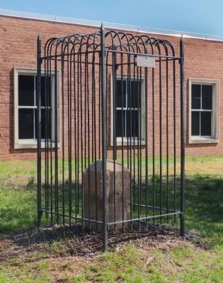
Original Federal Boundary Stone SE 6
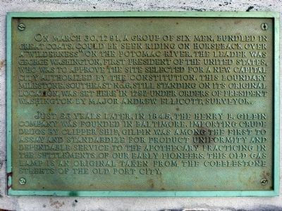
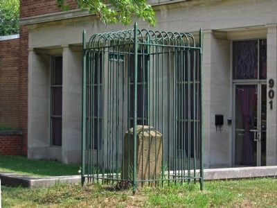
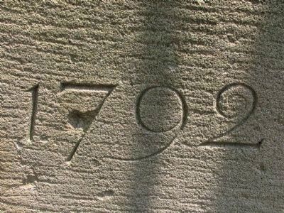
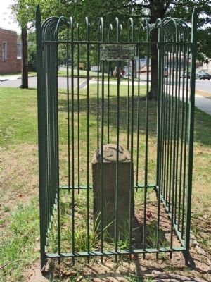
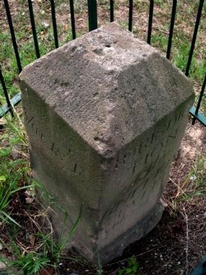
On March 30, 1791, a group of six men, bundled in great coats, could be seen riding on horseback over a "wilderness" on the Potomac River. The leader was George Washington, first President of the United States, who was to approve the site selected for a new capital city authorized by the Constitution. This boundary milestone, southeast No. 6, still standing on its original location, was set here in 1792 under orders of President Washington by Major Andrew Ellicott, Surveyor.
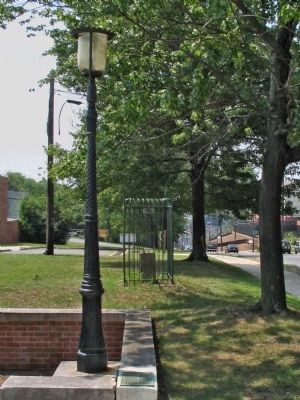
Just 53 years later, in 1845, the Henry Gilpin Company was founded in Baltimore. Importing crude drugs by clipper ship, Gilpin was among the first to assay and standardize for product uniformity and dependable service to the apothecary practicing in the settlements of our early pioneers. This old gas lamp is an original taken from the cobblestone streets of the old Port City.
Erected by the Henry Gilpin Company.
Topics and series. This historical marker is listed in these topic lists: Animals • Industry & Commerce • Political Subdivisions • Waterways & Vessels. In addition, it is included in the Daughters of the American Revolution, the Former U.S. Presidents: #01 George Washington, and the Original Federal Boundary Stones series lists. A significant historical month for this entry is March 1836.
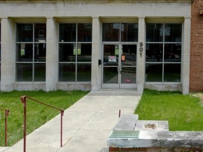
Location. Marker has been reported missing. It was located near 38° 49.886′ N, 76° 59.278′ W. Marker was in Temple Hills, Maryland, in Prince George's County. Marker could be reached from Southern Avenue south of Wheeler Road, on the right when traveling north. Touch for map. Marker was at or near this postal address: 901 Southern Avenue, Capitol Heights MD 20743, United States of America. Touch for directions.
Other nearby markers. At least 8 other markers are within 2 miles of this location, measured as the crow flies. Original Federal Boundary Stone, District of Columbia, Southeast 6 (a few steps from this marker); Welcome to St. Elizabeths East (approx. 0.9 miles away in District of Columbia); Original Federal Boundary Stone, District of Columbia, Southeast 5 (approx. one mile away); Original Federal Boundary Stone, District of Columbia, Southeast 7 (approx. one mile away); Congress Heights School (approx. one mile away in District of Columbia); Fort Carroll (approx. 1.1 miles away in District of Columbia); Fort Greble (approx. 1˝ miles away in District of Columbia); In Memory of Col. Raynal C. Bolling (approx. 1˝ miles away in District of Columbia). Touch for a list and map of all markers in Temple Hills.
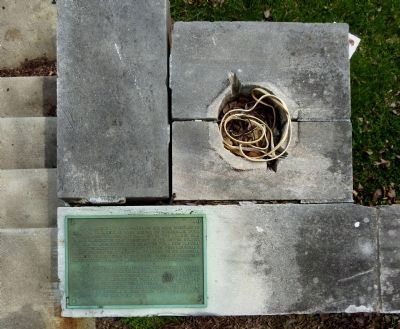
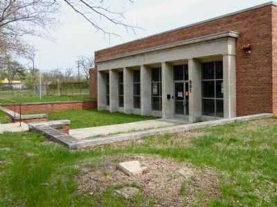
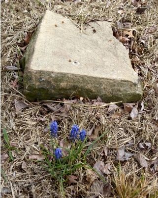
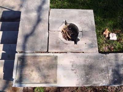
Regarding Original Federal Boundary Stone SE 6. In 2008, an automobile chased by DC police jumped the curb and smashed into the Baltimore street lamp and DC Boundary
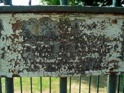
Stone SE 6. The DAR fence was crushed and the stone broken off at its base. The stone currently resides in the DC Surveyor's Office on 14th Street. The Henry Gilpin Drug Company building was being used as a church when the accident happened. The building is currently unoccupied.
Also see . . . Life and Times of Boundary Stone SE 6. East of the River Magazine, July 2012 (Submitted on April 24, 2014, by Allen C. Browne of Silver Spring, Maryland.)
Credits. This page was last revised on September 29, 2020. It was originally submitted on April 24, 2014, by Allen C. Browne of Silver Spring, Maryland. This page has been viewed 710 times since then and 7 times this year. Last updated on August 18, 2020, by Roberto Bernate of Arlington, Virginia. Photos: 1, 2, 3, 4, 5, 6, 7, 8, 9, 10, 11. submitted on April 24, 2014, by Allen C. Browne of Silver Spring, Maryland. 12, 13. submitted on April 11, 2015, by Allen C. Browne of Silver Spring, Maryland. • Devry Becker Jones was the editor who published this page.
