Paducah in McCracken County, Kentucky — The American South (East South Central)
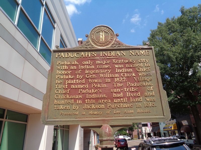
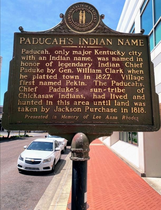
Paducah's Indian Name
Erected 1967 by Kentucky Historical Society & Kentucky Department of Highways, presented in memory of Lee Anna Rhodes. (Marker Number 1111.)
Topics and series. This historical marker is listed in these topic lists: Native Americans • Settlements & Settlers. In addition, it is included in the Kentucky Historical Society series list. A significant historical year for this entry is 1827.
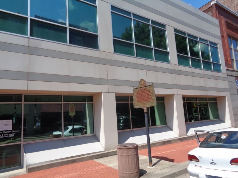
Location. 37° 5.188′ N, 88° 35.932′ W. Marker is in Paducah, Kentucky, in McCracken County. Marker is on Broadway Street east of North 5th Street, on the left when traveling east. Touch for map. Marker is at or near this postal address: 415 Broadway St, Paducah KY 42001, United States of America. Touch for directions.
Other nearby markers. At least 8 other markers are within walking distance of this marker. Gunsmith Ferd Hummel (within shouting distance of this marker); Union Headquarters (about 300 feet away, measured in a direct line); Paducah Pictorial (about 300 feet away); Barkley's Law Office (about 300 feet away); Guthrie Building (about 400 feet away); St. Francis de Sales (about 500 feet away); 8th U.S. Heavy Artillery (Colored) (about 500 feet away); Dr. Reuben Saunders (about 600 feet away). Touch for a list and map of all markers in Paducah.
More about this marker. Marker repeats on both sides.
Credits. This page was last revised on June 4, 2021. It was originally submitted on August 18, 2020, by Jason Voigt of Glen Carbon, Illinois. This page has been viewed 902 times since then and 122 times this year. Photos: 1. submitted on August 18, 2020, by Jason Voigt of Glen Carbon, Illinois. 2. submitted on June 2, 2021, by Shane Oliver of Richmond, Virginia. 3. submitted on August 18, 2020, by Jason Voigt of Glen Carbon, Illinois.


