St. Augustine in St. Johns County, Florida — The American South (South Atlantic)
Sanksville Cemetery
Photographed by Brandon D Cross, August 19, 2020
1. Sanksville Cemetery Marker
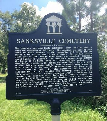
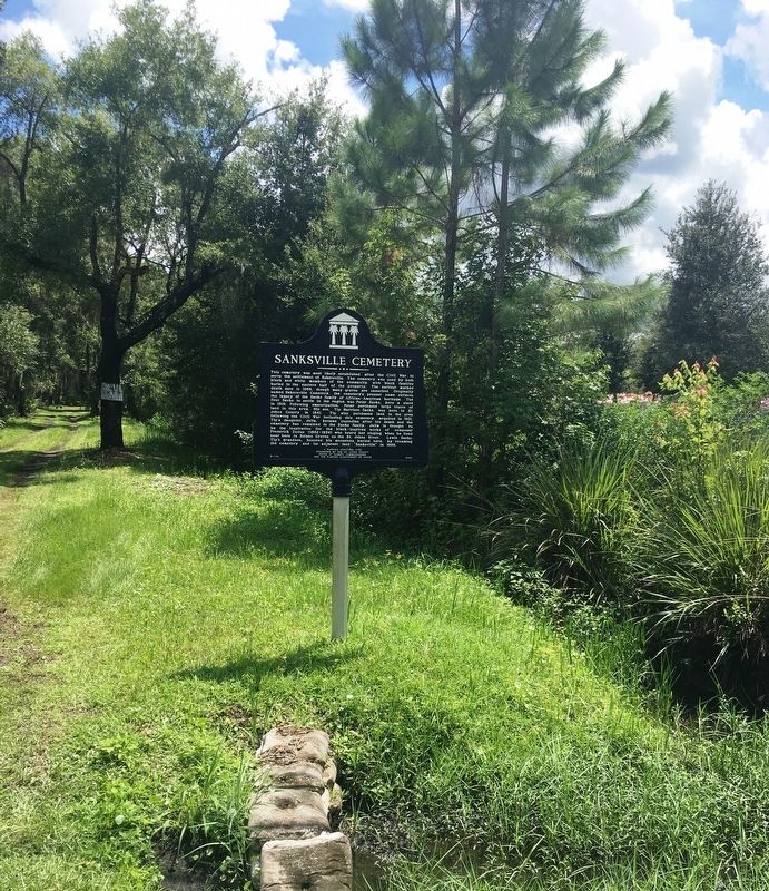
This cemetery was most likely established after the Civil War to serve the settlement of Bakersville. The cemetery was used by both black and white members of the community, with black families buried in the eastern half of the property. The earliest marked death date is 1869, though many graves are unmarked. Originally named Bakersville Cemetery, the cemetery’s present name reflects the legacy of the Sanks family of African-American heritage. The first Sanks to settle in the region was Peter Sanks , born a slave in 1819. Following emancipation, Peter purchased large tracks of land in this area. His son, Tip Harrison Sanks, was born in St. Johns County in 1841. Tip also purchased land in the area following the Civil War including this cemetery, acquired in 1901.. Tip’s daughter, Julia, became custodian after his death and the cemetery has remained in the Sanks family. Julia is thought to be the inspiration for the black-inspired works of composer Frederick Delius (1862-1934) who heard her singing when he lived near hear in Solano Groves on the St. Johns River. Lewis Sanks, Tip’s grandson, honored his ancestors buried
this page online
Erected 2006 by The St. Johns County Board of County Commissioners and the Florida Department of State. (Marker Number F-594.)
Topics. This historical marker is listed in these topic lists: African Americans • Cemeteries & Burial Sites.
Location. 29° 54.936′ N, 81° 31.695′ W. Marker is in St. Augustine, Florida, in St. Johns County. It is on Joe Ashton Road 0.1 miles south of County Road 208, on the left when traveling south. Touch for map. Marker is at or near this postal address: 2380 Joe Ashton Road, Saint Augustine FL 32092, United States of America. Touch for directions.

Regionally, this marker is in First Coast and in Greater Jacksonville. It is also in the American South and on the Eastern Seaboard. Globally, it is in the North Atlantic Region, North America, a Gulf of Mexico state, the Western Hemisphere, the Western World, and the Anglosphere. Historically, it finds itself in what was once New Spain, the territory of the Mississippian Culture,
Photographed by Brandon D Cross, August 19, 2020
2. Sanksville Cemetery Marker
Other nearby markers. At least 8 other markers are within 7 miles of this marker, measured as the crow flies: Picolata (approx. 3.9 miles away); St. Augustine Confederate Memorial (approx. 5½ miles away); William Wing Loring (approx. 5½ miles away); Site of Theatrical Troupe Massacre by the Seminoles (approx. 5.7 miles away); Old Tom Morris (approx. 6.3 miles away); Francis D. Ouimet (approx. 6.3 miles away); Ford Motor Company (approx. 6.8 miles away); William Bartram's Plantation (approx. 7.1 miles away). Touch for a list and map of all markers in St. Augustine.
Another marker is no longer nearby. William Bartram Trail (was approx. 3.9 miles away but has been confirmed missing).
Photographed by Brandon D Cross, August 19, 2020
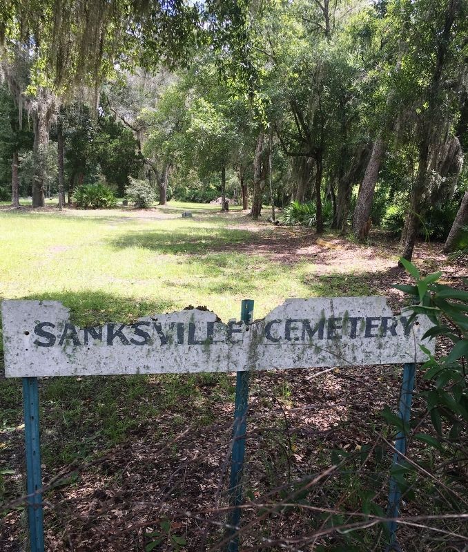
3. Sanksville Cemetery sign
Photographed by Brandon D Cross, August 19, 2020
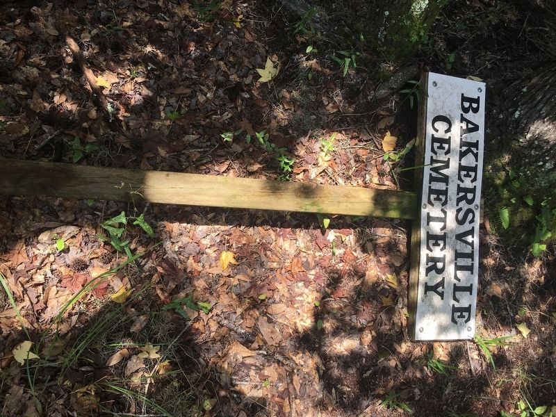
4. 4. Former Bakersville Cemetery sign
Credits. This page was last revised on August 21, 2020. It was originally submitted on August 20, 2020, by Brandon D Cross of Flagler Beach, Florida. This page has been viewed 2,473 times since then and 218 times this year. Photos: 1, 2, 3, 4. submitted on August 20, 2020, by Brandon D Cross of Flagler Beach, Florida. • Bernard Fisher was the editor who published this page.
