Huttonsville in Randolph County, West Virginia — The American South (Appalachia)
Huttonsville
The Army of the Northwest
| — | The First Campaign | — |

Photographed by Bradley Owen, February 4, 2025
1. Huttonsville Marker
Here on June 14, he created the 25th and 31st Virginia infantry regiments with recruits from the surrounding mountain areas. One day later, these troops marched north to guard key mountain passes at Rich Mountain and Laurel Hill, General Garnett’s “gates to the northwestern country.”
Many of the officers and men of Company F of the 31st Virginia Regiment came from the nearby Huttonsville Academy, a coeducational school founded in 1854. Federal troops burned the school in 1861.
Most of the Confederate units that fought here in July became known as the Army of the Northwest and spent the winter of 1861 at Camp Allegheny. The following spring, they became a part of Stonewall Jackson’s famous “foot cavalry” during his Shenandoah Valley campaign. As a part of the Army of the Northern Virginia, they served until Appomattox.
(sidebar)
Brothers Marion and Joseph French Harding
this page online
“Today by vote of the company we are mustered into service. We are now a part and parcel of one of the armies of the Southern Confederacy. I sincerely hope we have espoused a good cause.” – Marion Harding, June 8, 1861
Erected by West Virginia Civil War Trail.
Topics and series. This historical marker is listed in this topic list: War, US Civil. In addition, it is included in the West Virginia Civil War Trails series list. A significant historical month for this entry is April 1862.
Location. 38° 42.65′ N, 79° 58.792′ W. Marker is in Huttonsville, West Virginia, in Randolph County. It is at the intersection of Seneca Trail (U.S. 219) and Staunton-Parkersburg Turnpike (U.S. 250) on Seneca Trail. Touch for map. Marker is in this post office area: Huttonsville WV 26273,
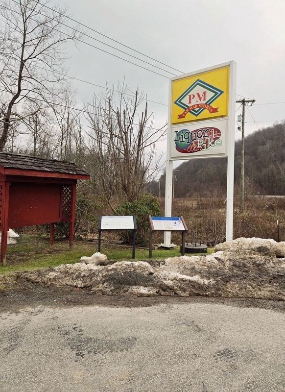
Photographed by Bradley Owen, February 4, 2025
2. Huttonsville Marker
Marker is located on the left.

Regionally, this marker is in West Virginia’s Potomac Highlands. It is also in the American South, specifically in the Upper South, in Appalachia, and specifically in Southern Appalachia. Globally, it is in North America, the Western Hemisphere, the Western World, and the Anglosphere. Historically, it finds itself in what was once the territory of the Mississippian Culture.
Other nearby markers. At least 8 other markers are within 7 miles of this marker, measured as the crow flies: A different marker also named Huttonsville (here, next to this marker); Bishop Asbury (approx. half a mile away); Old Brick Church (approx. one mile away); I. P. Russell & Sons (approx. 1.4 miles away); Tygart Valley Telephone Company (approx. 1½ miles away); Camp Good Luck (approx. 5.4 miles away); Fort Marrow (approx. 5.7 miles away); Elkwater / Col. J. A. Washington (approx. 6.2 miles away). Touch for a list and map of all markers in Huttonsville.
Another marker is no longer nearby. Army Headquarters 1861 / Huttonsville (was a few steps from this marker but has been confirmed missing).
Regarding Huttonsville. On the left is a photograph of "Marion and Joseph French Harding"
On the right is an area map
Credits. This page was last revised on February 6, 2025. It was originally submitted on August 14, 2010, by Bernard Fisher of Richmond, Virginia. This page has been viewed 1,944 times since then and 44 times this year. Last updated on August 21, 2020, by Carl Gordon Moore Jr. of North East, Maryland. Photos: 1, 2. submitted on February 6, 2025, by Bradley Owen of Morgantown, West Virginia.
