Vega in Oldham County, Texas — The American South (West South Central)
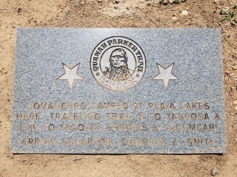
Quanah Parker Trail
Comanches camped at playa lakes here traveling trail N to Tascosa & E/W to Tecovas Springs & Tucumcari
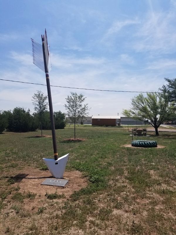
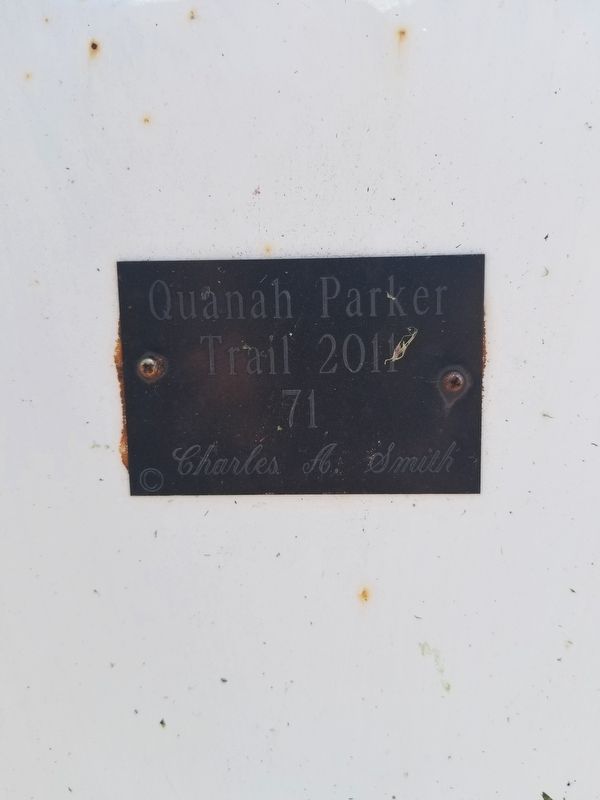
Arrow Sculptor: Charles A. Smith (Marker Number 71.)
Topics. This historical marker is listed in this topic list: Native Americans.
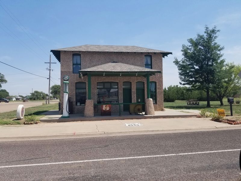
Location. 35° 14.761′ N, 102° 25.685′ W. Marker is in Vega, Texas, in Oldham County. Marker is on Main Street, on the left when traveling south. The marker is located behind the Magnolia gas station. Touch for map. Marker is at or near this postal address: 105 S Main Street, Vega TX 79092, United States of America. Touch for directions.
Other nearby markers. At least 7 other markers are within 4 miles of this marker, measured as the crow flies. Oldham County Courthouse, Vega, Texas (within shouting distance of this marker); Site of Old Tascosa (about 300 feet away, measured in a direct line); Senator W. S. Oldham (about 300 feet away); Doctor Oscar H. Loyd (about 400 feet away); The Mother Road of Historic Route 66 (approx. 0.2 miles away); Dot's Mini Museum, Vega, Texas (approx. 0.2 miles away); Fort Smith-Santa Fe Trail (approx. 3˝ miles away).
Credits. This page was last revised on August 22, 2020. It was originally submitted on August 22, 2020, by Allen Lowrey of Amarillo, Texas. This page has been viewed 202 times since then and 13 times this year. Photos: 1, 2, 3, 4. submitted on August 22, 2020, by Allen Lowrey of Amarillo, Texas. • J. Makali Bruton was the editor who published this page.


