Historic Cerrito Creek
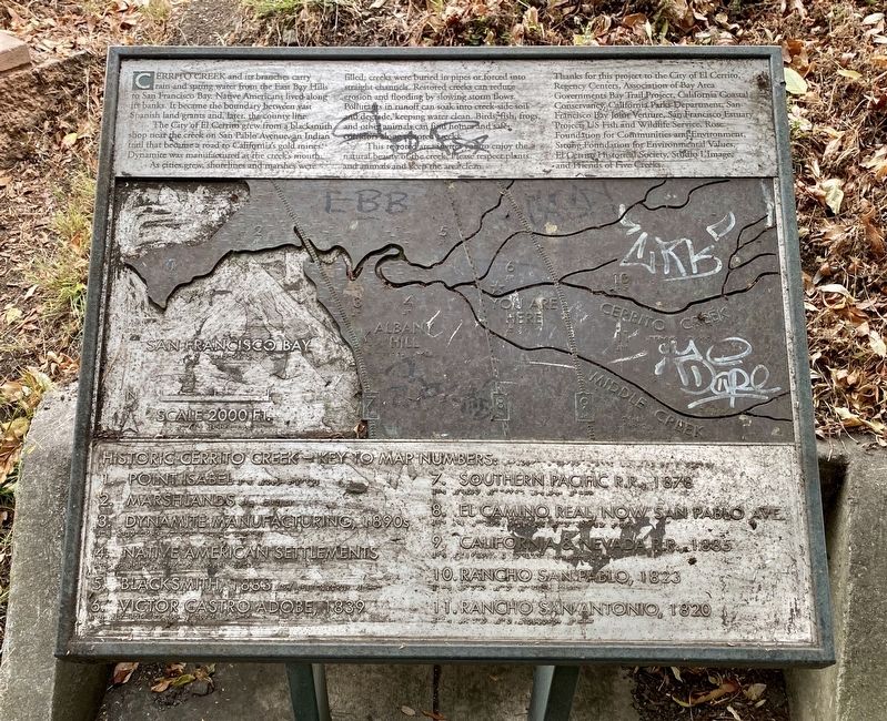
The City of El Cerrito grew from a blacksmith shop near the creek on San Pablo Avenue, an Indian trail that became a road to California's gold mines. Dynamite was manufactured at the creek's mouth.
As cities grew, shorelines and marshes were filled; creeks were buried in pipes or forced into straight channels. Restored creeks can reduce erosion and flooding by slowing storm flows. Pollutants in runoff can soak into creekside soil and degrade, keeping water clean. Birds, fish, frogs, and other animals can find homes and safe corridors along restored creeks.
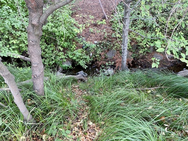
This restored area invites yon o enjoy the natural beauty of the creek. Please respect plants and animals and keep the area clean.
Erected by City of El Cerrito, Friends of Five Creeks, Association of Bay Area Governments Trail Project.
Topics. This historical marker is listed in these topic lists: Environment • Natural Features.
Location. 37° 53.89′ N, 122° 17.987′ W. Marker
Other nearby markers. At least 8 other markers are within walking distance of this marker. Ranchos San Pablo and San Antonio Boundary Monument (about 400 feet away, measured in a direct line); The Adobe Houses of Victor Castro (about 500 feet away); Site of Miller's Barn (about 500 feet away); Cerrito Creek (about 700 feet away); El Cerrito Hills (about 700 feet away); The Little Hill (approx. 0.2 miles away); El Cerrito's Nightlife (approx. ¼ mile away); El Cerrito's First Mayor (approx. ¼ mile away). Touch for a list and map of all markers in El Cerrito.
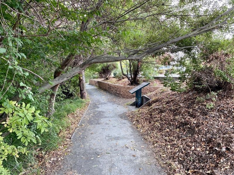
More about this marker. The marker is on the SF Bay Trail, about halfway between Kain Avenue and Cornell Avenue. It is not visible from the El Cerrito Plaza parking lot, which abuts the trail, because there is a retaining wall screening the trail from the parking lot.
Also see . . .
1. Historic Creek Maps (Friends of Five Creeks). (Submitted on August 23, 2020.)
2. Cerrito Creek (Wikipedia). (Submitted on August 23, 2020.)
Credits. This page was last revised on August 23, 2020. It was originally submitted on August 23, 2020, by Andrew Ruppenstein of Lamorinda, California. This page has been viewed 260 times since then and 28 times this year. Photos: 1, 2, 3. submitted on August 23, 2020, by Andrew Ruppenstein of Lamorinda, California.


