Pampa in Gray County, Texas — The American South (West South Central)
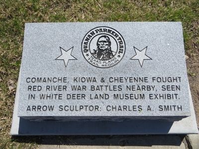
Quanah Parker Trail
Texas Plains Trail Region
Comanche, Kiowa & Cheyenne fought Red River War Battles nearby, seen in White Deer Land Museum exhibit.
Arrow sculptor: Charles A. Smith
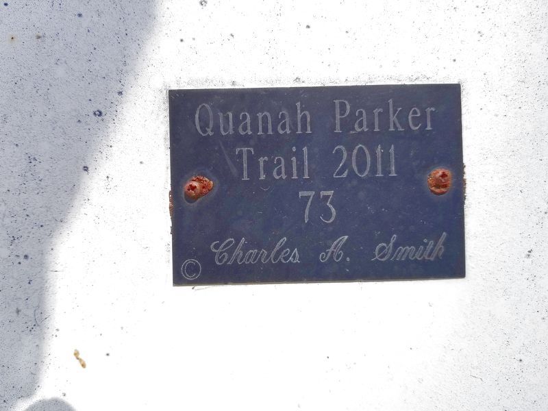
Erected 2011. (Marker Number 73.)
Topics. This historical marker is listed in these topic lists: Native Americans • Wars, US Indian. A significant historical year for this entry is 1874.
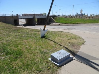
Location. 35° 32.092′ N, 100° 57.637′ W. Marker is in Pampa, Texas, in Gray County. Marker is at the intersection of East Atchinson Street and South Cuyler Street, on the left when traveling west on East Atchinson Street. Marker is on the southeast corner. Touch for map. Marker is in this post office area: Pampa TX 79065, United States of America. Touch for directions.
Other nearby markers. At least 8 other markers are within walking distance of this marker. Pioneer Cottage (within shouting distance of this marker); White Deer Land Building (within shouting distance of this marker); Oil Discovery in Gray County (within shouting distance of this marker); Vittorio Emanuel von Brunow, M. D. (about 300 feet away, measured in a direct line); First National Bank in Pampa (about 400 feet away); 1934 Pampa Post Office Building (about 500 feet away); Woody Guthrie (about 600 feet away); First Methodist Church of Pampa (about 700 feet away). Touch for a list and map of all markers in Pampa.
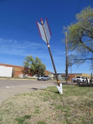
Also see . . . Quanah Parker Trail. The Comanche Indians once dominated vast areas of North America—and yet, forced onto reservations, they left little record of their own story. Today a network of 22-foot-tall steel arrows by artist Charles A. Smith marks sites where the Comanches, and their last chief, Quanah Parker, hunted, traded, lived, traveled, and fought. Retrace the footsteps and hoofbeats of the “Lords of the Plains” as you honor their rich culture and history, and learn about a past that is written on the land. (Submitted on April 9, 2016, by Bill Kirchner of Tucson, Arizona.)
Credits. This page was last revised on August 23, 2020. It was originally submitted on April 9, 2016, by Bill Kirchner of Tucson, Arizona. This page has been viewed 578 times since then and 23 times this year. Last updated on August 23, 2020, by Allen Lowrey of Amarillo, Texas. Photos: 1, 2, 3. submitted on April 9, 2016, by Bill Kirchner of Tucson, Arizona. 4. submitted on August 23, 2020, by Allen Lowrey of Amarillo, Texas. • J. Makali Bruton was the editor who published this page.


