San Francisco Soyaniquilpan in Soyaniquilpan, Mexico State, Mexico — The Central Highlands (North America)
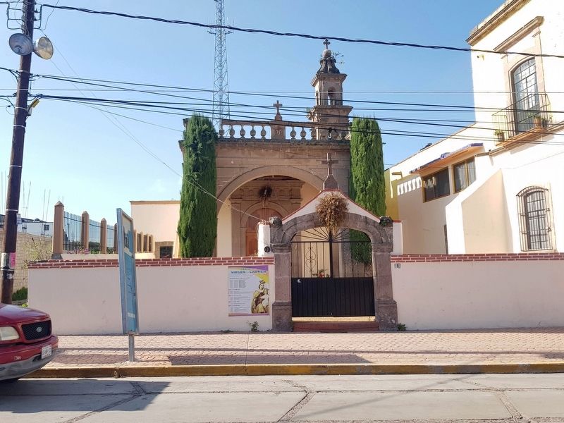
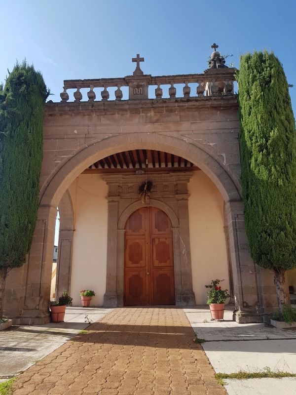
Chapel of the Virgen of Carmen
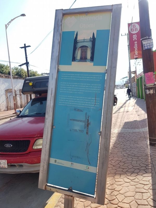
Herencia Otomí
La región de Soyaniquilpan, de origen otomí, comenzó a ser evangelizada por los franciscanos en el siglo XVI. Sin embargo, hacia los siglos XVIII y XIX, se dio una gran influencia de otras órdenes, que trajeron otras advocaciones al poblado.
Un ejemplo de esto es la capilla de la Virgen del Carmen, cuya construcción comenzó a finales del siglo XVIII y se prolongó hasta el XIX. A pesar de su sobriedad es un templo de hermosas promociones. Como muchos edificios de la época, tiene un estilo neoclásico, con elementos grecolatinos y con una sola nave de techo abovedado y un solo campanario.
Su construcción coincidió con un auge productivo en la región, especialmente en Haciendas como la Goleta, que llegó a tener, al finalizar el siglo XIX 12837 hectáreas. En 1893, cosechaba, entre otros productos agrícolas, 1000 cargas de maíz y 100 cargas de trigo anualmente y tenía 1400 cabezas de ganado vacuno. En extensión de tierra era la hacienda más grande del distrito de Jilotepec.
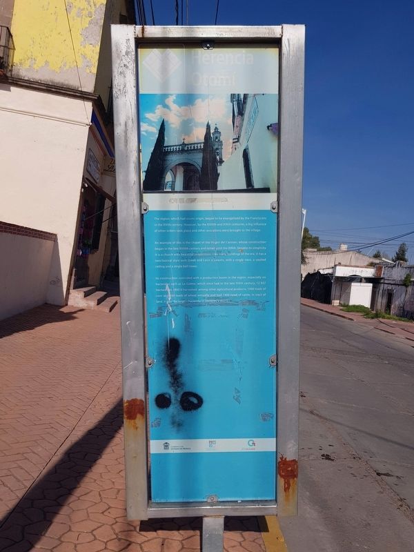
Chapel of the Virgin of Carmen
The region, which had otomí origin, began to be evangelized by the Franciscans in the XVIth century. However, by the XVIIIth and XIXth centuries, a big influence of other orders took place and other avocations were brought to the village.
An example of this is the chapel of the Virgen del Carmen, whose construction began in the late XVIIIth century and lasted until the XIXth. Despite its simplicity it is a church with beautiful proportions. Like many buildings of the era, it has a neoclassical style with Greek and Latin elements, with a single nave, a vaulted ceiling and a single bell tower.
Its construction coincided with a production boom in the region, especially on haciendas such as La Goleta, which once had in the late XIXth century, 12 837 hectares. In 1893 it harvested, among other agricultural products, 1000 loads of corn and 100 loads of wheat annually and had 1400 head of cattle. In tract of land, it was the largest hacienda in Jilotepec's district
Erected by Gobierno del Estado de México.
Topics. This historical marker is listed in these topic lists: Architecture • Churches & Religion • Colonial Era • Industry & Commerce. A significant historical year for this entry is 1893.
Location. 20° 0.897′ N, 99° 31.726′ W. Marker is in San Francisco Soyaniquilpan, Estado de
Mexico (Mexico State), in Soyaniquilpan. Marker is on Emiliano Zapata Poniente just west of Jilotepec-San Augustín, on the left when traveling west. Touch for map. Marker is in this post office area: San Francisco Soyaniquilpan MEX 54280, Mexico. Touch for directions.
Other nearby markers. At least 8 other markers are within 8 kilometers of this marker, measured as the crow flies. Soyaniquilpan (about 210 meters away, measured in a direct line); Soyaniquilpan de Juárez (about 210 meters away); The Bicentennial Tree (approx. 0.3 kilometers away); Parish of San Francisco de Asís (approx. 0.3 kilometers away); Municipality of Jilotepec (approx. 6.9 kilometers away); Famous Sons of Jilotepec (approx. 6.9 kilometers away); Jilotepec (approx. 6.9 kilometers away); Benito Juárez Memorial (approx. 7 kilometers away). Touch for a list and map of all markers in San Francisco Soyaniquilpan.
Credits. This page was last revised on August 24, 2020. It was originally submitted on August 23, 2020, by J. Makali Bruton of Accra, Ghana. This page has been viewed 101 times since then and 12 times this year. Photos: 1, 2, 3, 4, 5. submitted on August 23, 2020, by J. Makali Bruton of Accra, Ghana.
