Yosemite National Park in Tuolumne County, California — The American West (Pacific Coastal)
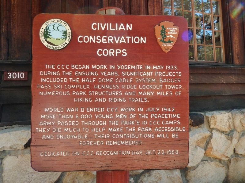
Civilian Conservation Corps
World War II ended CCC work in July 1942. More than 6,000 young men of the peacetime army passed through the park’s 10 CCC camps. They did much to help make the park accessible and enjoyable. Their contributions will be forever remembered.
Erected 1988.
Topics and series. This historical marker is listed in these topic lists: Charity & Public Work • Parks & Recreational Areas. In addition, it is included in the Civilian Conservation Corps (CCC) series list. A significant historical month for this entry is May 1933.
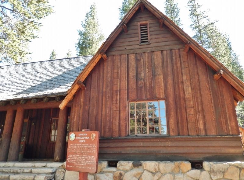
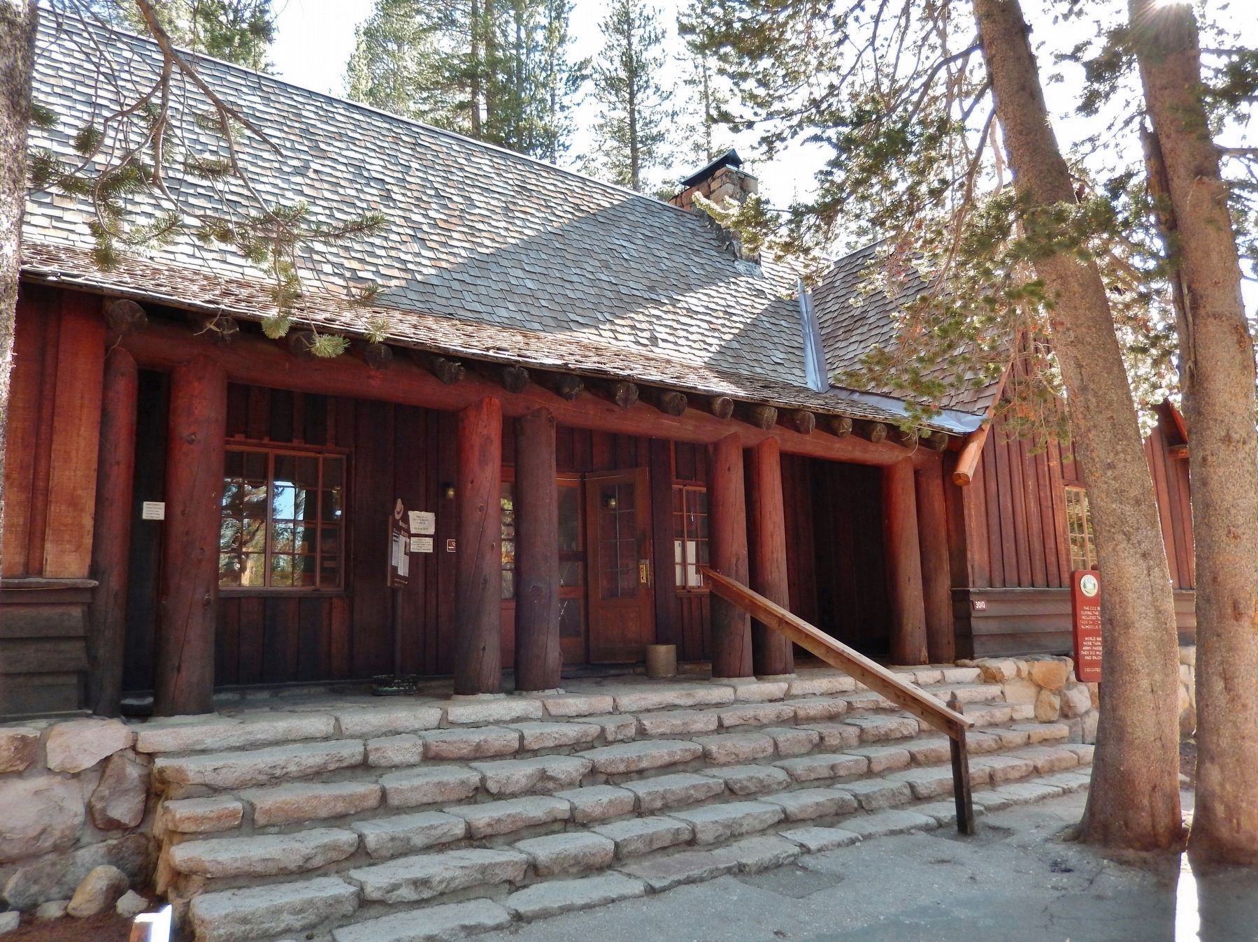
Location. 37° 52.299′ N, 119° 22.452′ W. Marker is in Yosemite National Park, California, in Tuolumne County. Marker can be reached from Tioga Road (California Route 120), on the right when traveling east. Marker is mounted directly in front of the Tuolumne Meadows Visitor Center. Touch for map. Marker is in this post office area: Yosemite National Park CA 95389, United States of America. Touch for directions.
Other nearby markers. At least 8 other markers are within 10 miles of this marker, measured as the crow flies. Parsons Memorial Lodge (approx. 0.6 miles away); Yosemite Ghost Mines (approx. 6.2 miles away); Tioga Pass Road (approx. 6.9 miles away); Avalanche! (approx. 7.3 miles away); Olmsted Point (approx. 7.4 miles away); Bennettville (approx. 8.2 miles away); a different marker also named The Tioga Pass Road (approx. 9.3 miles away); Would-Be Miners and Occasional Tourists (approx. 9.3 miles away). Touch for a list and map of all markers in Yosemite National Park.
Also see . . . The Civilian Conservation Corps in Yosemite. CCC Company 942 was designated as the service company for Yosemite and was located in the park for nine years. One of the most outstanding achievements of the CCC recruits was the rebuilding of the stairway ascending the eastern face of Half Dome in May 1934. The Half Dome cables, which had been installed about in 1920 by the Sierra Club, were replaced and strengthened. The CCC camps in Yosemite National Park completed numerous significant improvements that are still visible today. (Submitted on August 26, 2020, by Cosmos Mariner of Cape Canaveral, Florida.)
Credits. This page was last revised on August 26, 2020. It was originally submitted on August 24, 2020, by Cosmos Mariner of Cape Canaveral, Florida. This page has been viewed 128 times since then and 20 times this year. Photos: 1, 2, 3. submitted on August 25, 2020, by Cosmos Mariner of Cape Canaveral, Florida.


