
Brunswick in Glynn County, Georgia — The American South (South Atlantic)
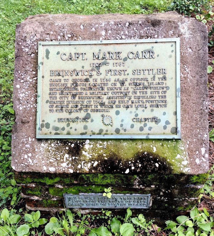
Capt. Mark Carr
1702 – 1767
| — | Brunswick’s First Settler | — |
Photographed by Brandon D Cross, August 23, 2020
1. Capt. Mark Carr Marker
Came to Georgia in 1738 as an officer in the English forces located on St. Simons Island: Established a plantation known as "Carr’s Fields" and maintained a military outpost on the site of the City of Brunswick; assisted in repelling the Spanish Invasion of 1742; and held many positions of honor and trust in which he gave loyal service to the Colony of Georgia.
The bricks used in this base came from the ruins of Capt. Carr's home on Blythe Island.
Erected by Brunswick Rotary Chapter.
Topics and series. This historical marker is listed in these topic lists: Colonial Era • Settlements & Settlers. In addition, it is included in the Rotary International series list. A significant historical year for this entry is 1738.
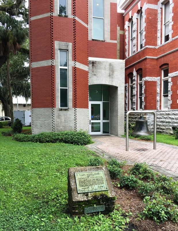
Location. 31° 8.755′ N, 81° 29.658′ W. Marker is in Brunswick, Georgia, in Glynn County. It is on Newcastle Street south of Mansfield Street, on the left when traveling north. Marker located near the southeast corner of Brunswick Old City Hall. Touch for map. Marker is at or near this postal address: 1229 Newcastle Street, Brunswick GA 31520, United States of
this page online

Regionally, this marker is in Georgia’s Coastal Plain, on the Georgia Coast and the Golden Isles, and on the Sea Islands. It is also in the American South, specifically in the Deep South, and on the Eastern Seaboard. Globally, it is in the North Atlantic Region, North America, the Western Hemisphere, the Western World, and the Anglosphere. Historically, it finds itself in what was once New Spain, the territory of the Mississippian Culture, one of the original Thirteen Colonies, one of the Confederate States of America, and the Antebellum South.
Other nearby markers. At least 8 other markers are within walking distance of this marker: Queen Square (here, next to this marker); a different marker also named Queen Square (a few steps from this marker); a different marker also named Queen Square (about 300 feet away, measured in a direct line); a different marker also named Queen Square (about 300 feet away); Liberty Tree (about 300 feet away); James Edward Oglethorpe (about 300 feet away); Hanover Square (about 600 feet away); a different marker also named Hanover Square (about 600 feet
Photographed by Brandon D Cross, August 23, 2020
2. Capt. Mark Carr Marker
Also see . . . Signature Squares of Brunswick. (Submitted on August 25, 2020, by Brandon D Cross of Flagler Beach, Florida.)
Credits. This page was last revised on August 28, 2020. It was originally submitted on August 25, 2020, by Brandon D Cross of Flagler Beach, Florida. This page has been viewed 713 times since then and 55 times this year. Photos: 1, 2. submitted on August 25, 2020, by Brandon D Cross of Flagler Beach, Florida. • Bernard Fisher was the editor who published this page.
