Clarendon in Monroe County, Arkansas — The American South (West South Central)
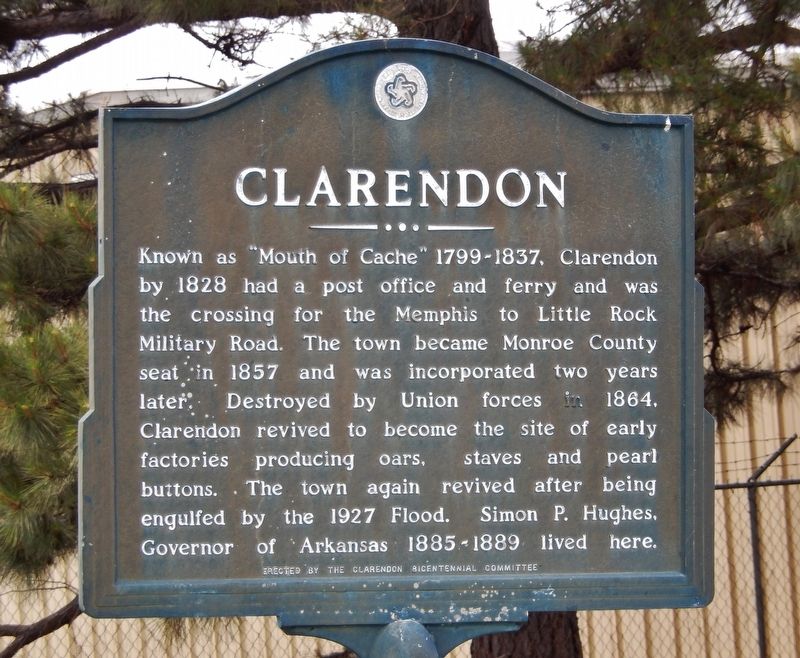
Clarendon
Erected by Clarendon Bicentennial Committee.
Topics. This historical marker is listed in these topic lists: Disasters • Industry & Commerce • Settlements & Settlers • War, US Civil. A significant historical year for this entry is 1828.
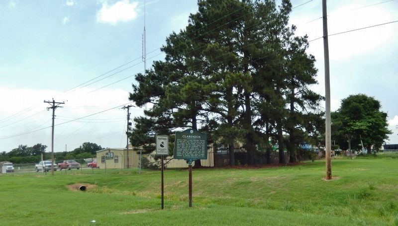
Location. 34° 41.621′ N, 91° 17.288′ W. Marker is in Clarendon, Arkansas, in Monroe County. Marker is on U.S. 79, 0.3 miles west of State Highway 86, on the right when traveling west. Touch for map. Marker is in this post office area: Clarendon AR 72029, United States of America. Touch for directions.
Other nearby markers. At least 8 other markers are within 12 miles of this marker, measured as the crow flies. Clarendon in the Civil War (approx. 1.4 miles away); Monroe County First Court House (approx. 1˝ miles away); DeValls Bluff: A Major Union Riverport (approx. 11˝ miles away); DeValls Bluff in the Civil War (approx. 11˝ miles away); DeValls Bluff Under Fire (approx. 11˝ miles away); Why DeValls Bluff (approx. 11˝ miles away); Common Ground for Many Soldiers (approx. 11˝ miles away); War on the White River (approx. 11.6 miles away). Touch for a list and map of all markers in Clarendon.
Also see . . .
1. Clarendon History. The area was settled around 1799 by French hunters and trappers who had established cabins at the mouth of Cache River before the Louisiana Purchase. (Submitted on August 26, 2020, by Cosmos Mariner of Cape Canaveral, Florida.)
2. Clarendon, Arkansas (Wikipedia). In 1864, the city was burned to the ground by Union forces in retaliation for the sinking of the tinclad Union gunboat USS Queen City by forces under the command of Confederate Brigadier General Joseph O. Shelby. (Submitted on August 26, 2020, by Cosmos Mariner of Cape Canaveral, Florida.)
3. Clarendon Flood, April 20, 1927. Because of the town's location near the White and Cache rivers, floods had been a continual threat to the town's residents. On April 20, 1927, the threat became reality. After months of heavy rains, the levee along the White River
broke and, within 10 minutes, the entire town was flooded, as it would remain for several weeks. The town was virtually destroyed. (Submitted on August 26, 2020, by Cosmos Mariner of Cape Canaveral, Florida.)
Credits. This page was last revised on August 26, 2020. It was originally submitted on August 26, 2020, by Cosmos Mariner of Cape Canaveral, Florida. This page has been viewed 225 times since then and 14 times this year. Photos: 1, 2. submitted on August 26, 2020, by Cosmos Mariner of Cape Canaveral, Florida.

