Pleasant Plains on Staten Island in Richmond County, New York — The American Northeast (Mid-Atlantic)
Mount Loretto History
Photographed by Larry Gertner, July 6, 2012
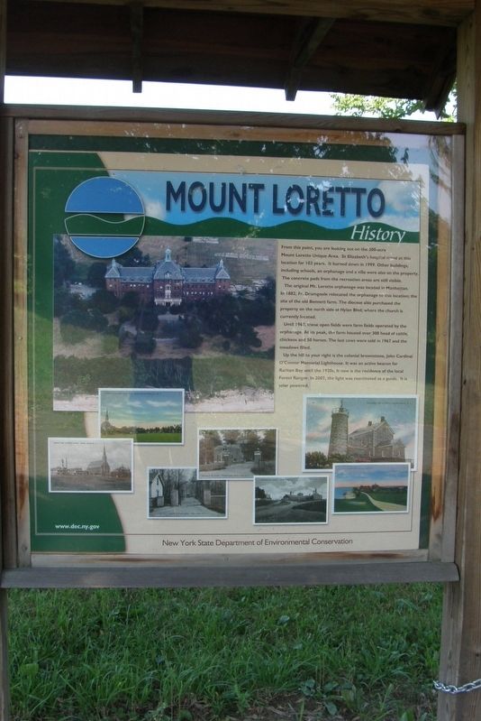
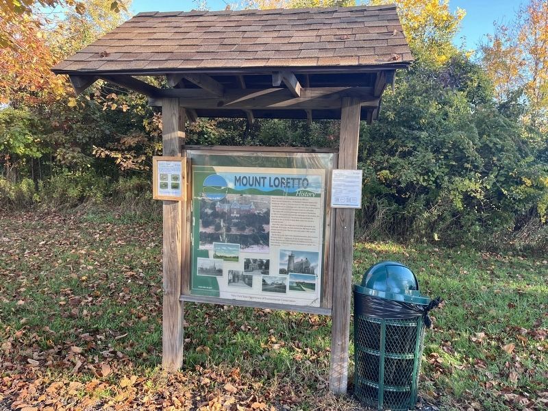
1. Mount Loretto History wayside
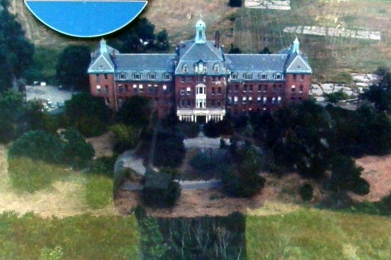
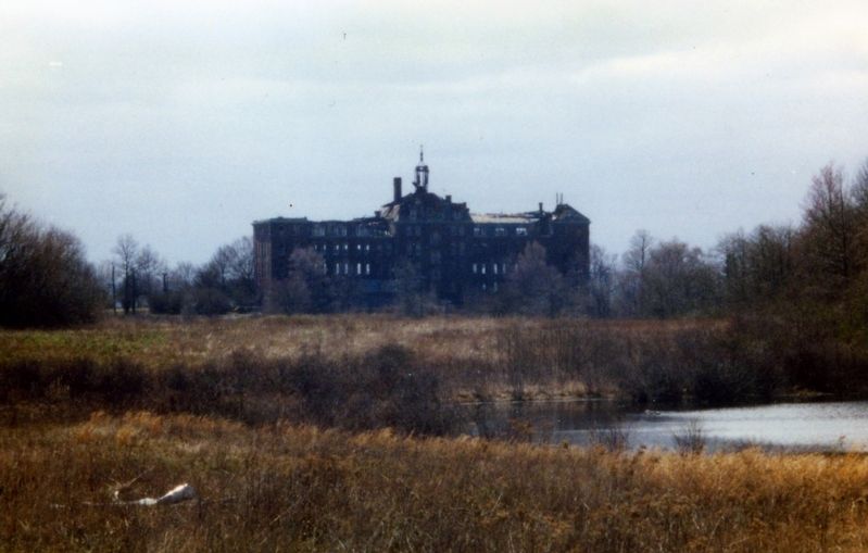
From this point, you are looking out on the 200-acre Mount Loretto Unique Area. St. Elizabeth’s hospital stood at this location for 103 years. In burned down in 1999. Other buildings, including schools, an orphanage and a villa were also on the property. The concrete pads from the recreation areas are still visible.
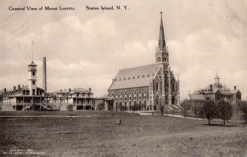
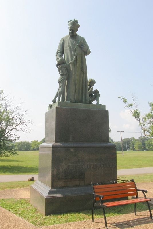
The original Mt. Loretto orphanage was located in Manhattan. In 1882, Fr. Drumgoole relocated the orphanage to this location; on the site of the old Bennett farm. The diocese purchased the property on the north side of Hylan Blvd; where the church is currently located.
Until 1967, these open fields were farm fields operated by the orphanage. At its peak, the farm housed over 300 head of cattle, chickens and 50 horses. The last cows were sold in 1967 and the fields filled.
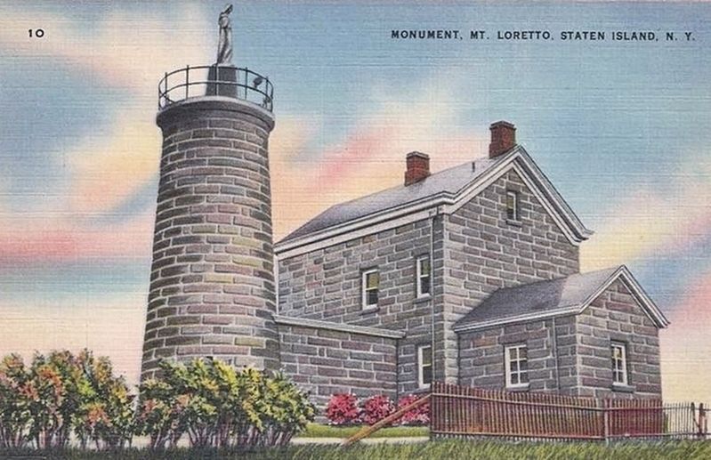
Up the hill to your right is the colonial brownstone, John Cardinal O’Connor Memorial Lighthouse. It was an active beacon for Raritan Bay until the 1920s. It is now the residence of the local Forest Ranger. In 2007, the light was reactivated as a guide. It is solar powered.
Erected by New York State Department of Environmental Conservation.
Topics and series. This historical marker is listed in these topic lists: Charity & Public Work • Parks & Recreational Areas • Religion & Religious Structures. In addition, it is included in the Lighthouses series list. A significant historical year for this entry is 1999.
Location. 40° 30.211′ N, 74° 13.14′ W. Marker is on Staten Island, New York, in Richmond County. It is in Pleasant Plains. It is on Cunningham Road 0.1 miles west of Kenny Road, on the right when traveling west. Touch for map. Marker is at or near this postal address: Mount Loretto Unique Area, Staten Island NY 10309, United States of America. Touch for directions.

Regionally, this marker is in New
this page online
Other nearby markers. At least 8 other markers are within walking distance of this marker: Shrine of the Immaculate Virgin (within shouting distance of this marker); Mount Loretto Bluffs (about 500 feet away, measured in a direct line); Welcome to Mount Loretto Unique Area (approx. 0.4 miles away); John Cardinal O'Connor Lighthouse (approx. 0.4 miles away); St. Elizabeth’s (approx. half a mile away); Father John C. Drumgoole (approx. half a mile away); Easter Rising Memorial (approx. half a mile away); The Bells of the Church of Saints Joachim and Ann (approx. half a mile away). Touch for a list and map of all markers in Staten Island.
Also see . . .
1. Mount Loretto Unique Area. Wikipedia entry. (Submitted on August 28, 2020, by Larry Gertner of New York, New York.)
2. Princes Bay Lighthouse.
Photographed by Larry Gertner, July 6, 2012
3. St. Elizabeth's
"Girl's Side" dormitory before the fire
Photographed by Larry Gertner, November 3, 2006
4. The Ruins of Saint Elizabeth's
Destroyed by arson and demolished.
Photographed by Larry Gertner
5. Raritan Bay Lighthouse
Now the John Cardinal O’Connor Memorial Lighthouse.
Photographed by Larry Gertner, April 12, 2015
6. Mount Loretto
The "Boys' Side" with the original church structure.
Photographed by Larry Gertner, June 27, 2013
7. Father John C. Drumgoole, founder
Photographed by Larry Gertner, June 27, 2013
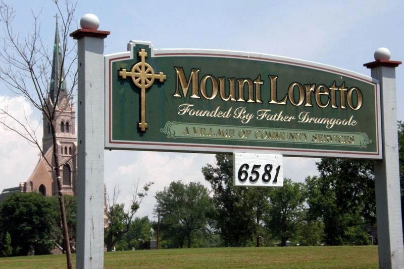
8. Mount Loretto today
Credits. This page was last revised on February 29, 2024. It was originally submitted on August 28, 2020, by Larry Gertner of New York, New York. This page has been viewed 5,828 times since then and 579 times this year. Photos: 1. submitted on August 28, 2020, by Larry Gertner of New York, New York. 2. submitted on October 31, 2022, by Devry Becker Jones of Washington, District of Columbia. 3, 4, 5, 6, 7, 8. submitted on August 28, 2020, by Larry Gertner of New York, New York.
