Appomattox in Appomattox County, Virginia — The American South (Mid-Atlantic)
Grant and Lee Meeting
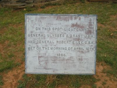
Photographed by Bill Coughlin, April 26, 2007
1. Grant and Lee Meeting Marker
Erected by Appomattox Court House National Historic Park, National Park Service.
Topics. This historical marker is listed in this topic list: War, US Civil. A significant historical date for this entry is April 10, 1887.
Location. 37° 22.731′ N, 78° 47.545′ W. Marker is in Appomattox, Virginia, in Appomattox County. It is on Richmond-Lynchburg Stage Road, on the left when traveling east. Marker is located in the Appomattox Court House National Historical Park, on the extreme eastern end the Richmond-Lynchburg Stage Road. Touch for map. Marker is at or near this postal address: 411 George Peers Dr, Appomattox VA 24522, United States of America. Touch for directions.

Regionally, this marker is in the Piedmont and in Central Virginia. It is also in the American South and specifically in the Upper South. Globally, it is in North America, the Western Hemisphere, the Western World, and the Anglosphere. Historically, it finds itself in what was once the territory of the Mississippian Culture,
this page online
Other nearby markers. At least 8 other markers are within walking distance of this marker: “Salute of Arms” (here, next to this marker); Lee and Grant Meet (a few steps from this marker); Last Artillery Shots (about 500 feet away, measured in a direct line); Final Combat (about 500 feet away); The Surrender Ceremony (about 600 feet away); The Kelley Family (about 600 feet away); The Robinson Family (about 600 feet away); The Isbell House (approx. 0.2 miles away). Touch for a list and map of all markers in Appomattox.
Another marker is no longer nearby. County Jail (was approx. 0.2 miles away but has been confirmed missing).
Also see . . .
1. Appomattox Court House National Historic Park. National Park Service website. (Submitted on January 22, 2009, by Bill Coughlin of Woodland Park, New Jersey.)
2. Appomattox Court House. CWSAC Battle Summaries website. (Submitted on January 22, 2009, by Bill Coughlin of Woodland Park, New Jersey.)
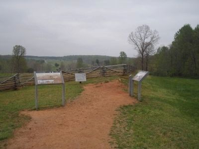
Photographed by Bill Coughlin, April 26, 2007
2. Marker in Appomattox Court House National Historical Park
Lee and Grant had their second meeting at this location to finalize arrangements for the surrender of the Army of Northern Virginia. Several markers are found at this site.
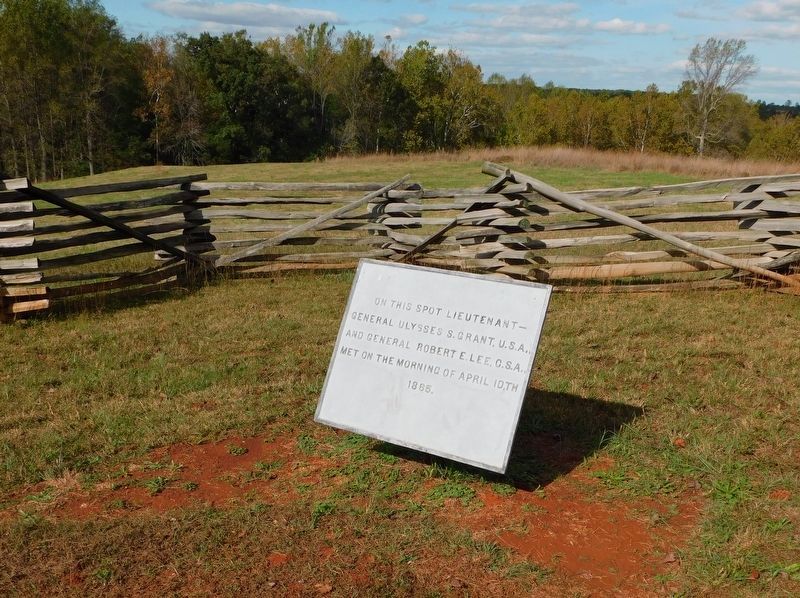
Photographed by Bradley Owen, October 16, 2017
3. Grant and Lee Meeting Marker
The condition of the marker has been improved.
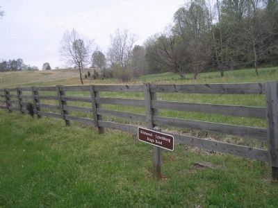
Photographed by Bill Coughlin, April 26, 2007
4. Richmond-Lynchburg Stage Road
The meeting between Grant and Lee occurred along this road.
Credits. This page was last revised on March 28, 2021. It was originally submitted on January 22, 2009, by Bill Coughlin of Woodland Park, New Jersey. This page has been viewed 1,626 times since then and 40 times this year. Photos: 1, 2. submitted on January 22, 2009, by Bill Coughlin of Woodland Park, New Jersey. 3. submitted on March 27, 2021, by Bradley Owen of Morgantown, West Virginia. 4. submitted on January 22, 2009, by Bill Coughlin of Woodland Park, New Jersey.
