Near Franklin in Pendleton County, West Virginia — The American South (Appalachia)
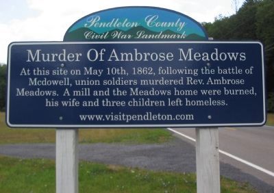
Murder of Ambrose Meadows
Pendleton County Civil War Landmark
At this site on May 10th, 1862, following the battle of Mcdowell, union soldiers murdered Rev. Ambrose Meadows. A mill and the Meadows home were burned, his wife and three children left homeless.
Topics. This historical marker is listed in this topic list: War, US Civil. A significant historical date for this entry is May 10, 1862.
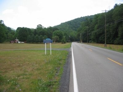
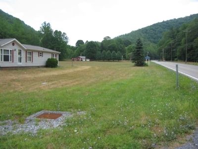
Location. This marker has been replaced by another marker nearby. It was located near 38° 40.317′ N, 79° 18.154′ W. Marker was near Franklin, West Virginia, in Pendleton County. Marker was on U.S. 33, on the right when traveling west. Touch for map. Marker was in this post office area: Franklin WV 26807, United States of America. Touch for directions.
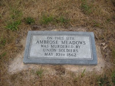
Other nearby markers. At least 8 other markers are within 3 miles of this location, measured as the crow flies. A different marker also named Murder of Ambrose Meadows (here, next to this marker); Franklin High School Cupola (approx. 1.9 miles away); William McCoy House (approx. 2.6 miles away); Franklin (approx. 2.6 miles away); Pendleton County Court House (approx. 2.6 miles away); Pendleton County World War I Memorial (approx. 2.6 miles away); McCoy House (approx. 2.6 miles away); Civil War Soldiers Monument (approx. 2.6 miles away). Touch for a list and map of all markers in Franklin.
Related marker. Click here for another marker that is related to this marker. This marker has been replaced by the linked marker.
Credits. This page was last revised on January 27, 2022. It was originally submitted on August 15, 2010, by Craig Swain of Leesburg, Virginia. This page has been viewed 3,211 times since then and 68 times this year. Last updated on August 30, 2020, by Bradley Owen of Morgantown, West Virginia. Photos: 1, 2, 3, 4. submitted on August 15, 2010, by Craig Swain of Leesburg, Virginia. • Devry Becker Jones was the editor who published this page.


