Monterey in Highland County, Virginia — The American South (Mid-Atlantic)
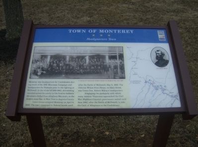
Town of Monterey
Headquarters Town
Photographed by Robert H. Moore, II, February 27, 2009
1. Town of Monterey Marker
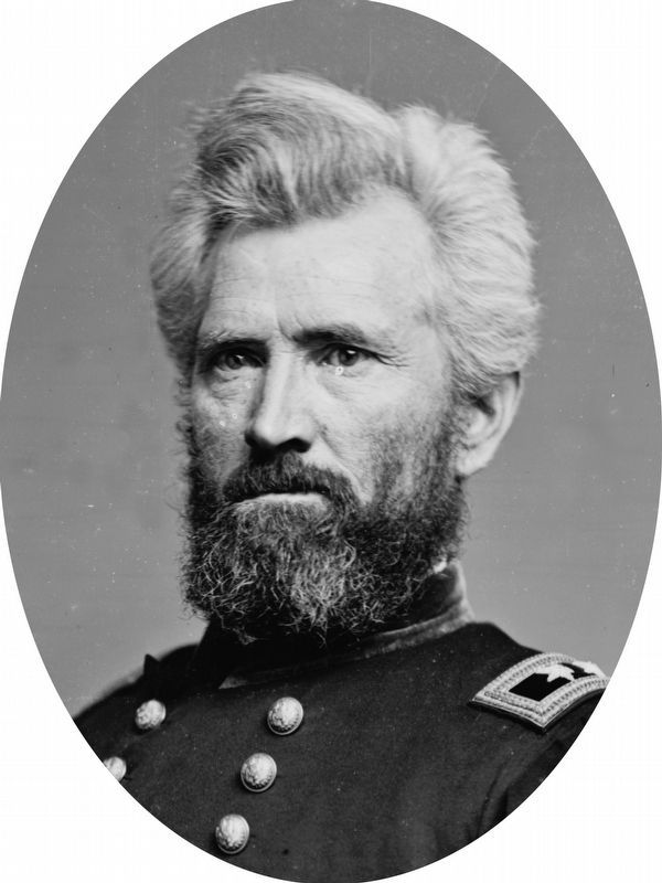
Union forces occupied Monterey on April 6, 1862. The town remained in Federal hands until after the Battle of McDowell, May 8, 1862. The Osborne Wilson-Fenn House, on Main Street, was Union Gen. Robert Milroy’s headquarters.
Displaying the ambiguity with which many western Virginians approached the Civil War, Highland County’s government waited until June 1862, after the Battle of McDowell, to take the Oath of Allegiance to the Confederacy.
(captions)
A reunion of Confederate soldiers outside the Highland Inn, after 1904
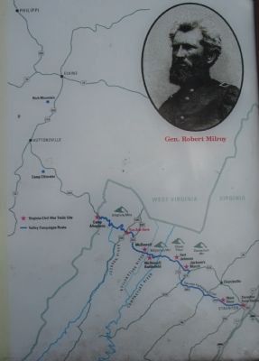
Gen. Robert Milroy
Erected by Virginia Civil War Trails.
Topics and series. This historical marker is listed in this topic list: War, US Civil. In addition, it is included in the Virginia Civil War Trails series list. A significant historical date for this entry is May 8, 1862.
Location. This marker has been replaced by another marker nearby.
this page online

Regionally, this marker was in the Shenandoah Valley, in the Alleghany Highlands, and specifically in the Potomac Highlands. It was also in the American South, specifically in the Upper South, in Appalachia, and specifically in Southern Appalachia. Globally, it was in North America, the Western Hemisphere, the Western World, and the Anglosphere. Historically, it found itself in what was once the territory of the Mississippian Culture, one of the original Thirteen Colonies, one of the Confederate States of America, and the Antebellum South.
Other nearby markers. At least 8 other markers are within 7 miles of this location, measured as the crow flies: A different
Photographed by Craig Swain, July 10, 2010
2. Campaign Map
Another marker is no longer nearby. Monterey (was here, next to this marker but has been replaced with another marker now near it).
Related marker. Click here for another marker that is related to this marker. Replacement CWT Marker At This Location titled "Monterey".
Photographed by Robert H. Moore, II, February 27, 2009
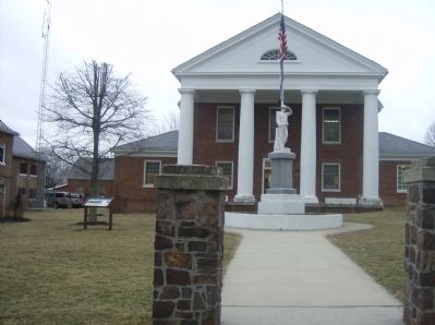
3. Town of Monterey Marker
Library of Congress
4. Gen. Robert H. Milroy
Credits. This page was last revised on September 17, 2024. It was originally submitted on March 4, 2009, by Robert H. Moore, II of Winchester, Virginia. This page has been viewed 2,160 times since then and 44 times this year. Last updated on August 30, 2020, by Bradley Owen of Morgantown, West Virginia. Photos: 1. submitted on March 4, 2009, by Robert H. Moore, II of Winchester, Virginia. 2. submitted on August 15, 2010, by Craig Swain of Leesburg, Virginia. 3. submitted on March 4, 2009, by Robert H. Moore, II of Winchester, Virginia. 4. submitted on September 18, 2020, by Allen C. Browne of Silver Spring, Maryland. • Bernard Fisher was the editor who published this page.
