Near Hamilton in Hamilton County, Texas — The American South (West South Central)
Pecan Wells Cemetery
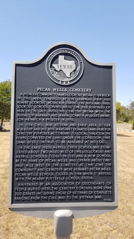
A pioneer community named Lookout began to develop in this area traversed by the Lampasas River and nearby Lookout Mountain during the 1870s and 1880s. Lookout School opened about one mile southeast of here in the late 1870s. This cemetery began with the burial of Barnard and Maria Schmith Pfluger's infant son Heinrich K. Pfluger in 1893.
In 1904 Civil War veteran and early area settler W. M. Kemp and his wife Margaret donated land here for cemetery purposes. According to local traditional the Kemps conveyed the land under the condition that grave sites continue to be available at no cost.
In the early 1900s Merrill Creek School was established about two miles west of this site. Lookout and Merrill schools closed in 1921 and a new school by the name of Pecan Wells was opened about one half mile west of the cemetery. At that time the community and cemetery were renamed Pecan Wells. Pecan Wells School closed in 1944 when it merged with the nearby Pottsville School System.
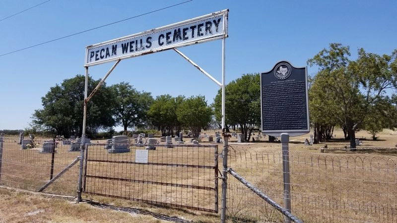
Maintained by an association of descendants of people buried here, the cemetery contains more than 200 graves including those of veterans of conflicts ranging from the Civil War to the Vietnam War.
Erected 1995 by Texas Historical Commission. (Marker Number 3971.)
Topics. This historical marker is listed in these topic lists: Cemeteries & Burial Sites • Settlements & Settlers. A significant historical year for this entry is 1893.
Location. 31° 34.497′ N, 98° 22.568′ W. Marker is near Hamilton, Texas, in Hamilton County. Marker is on Farm to Market Road 2005, 0.1 miles west of County Highway 622, on the right when traveling west. Touch for map. Marker is in this post office area: Hamilton TX 76531, United States of America. Touch for directions.
Other nearby markers. At least 8 other markers are within 15 miles of this marker, measured as the crow flies. Center City Baptist Church (approx. 7˝ miles away); Center City United Methodist Church (approx. 7˝ miles away); Center City Community (approx. 7.6 miles away); Center City Cemetery (approx. 7.6 miles away); Hamilton-Soules House (approx. 8.1 miles away); Zion Evangelical Lutheran Church (approx. 10.4 miles away); The Regency Suspension Bridge (approx. 14.2 miles away); The Goldthwaite Eagle (approx. 14.3 miles away).
Credits. This page was last revised on August 31, 2020. It was originally submitted on August 30, 2020, by James Hulse of Medina, Texas. This page has been viewed 166 times since then and 13 times this year. Photos: 1, 2. submitted on August 30, 2020, by James Hulse of Medina, Texas. • J. Makali Bruton was the editor who published this page.

