Saint Anthony Main in Minneapolis in Hennepin County, Minnesota — The American Midwest (Upper Plains)
Sawmilling: The City's First Industry
— Saint Anthony Falls Heritage Trail —
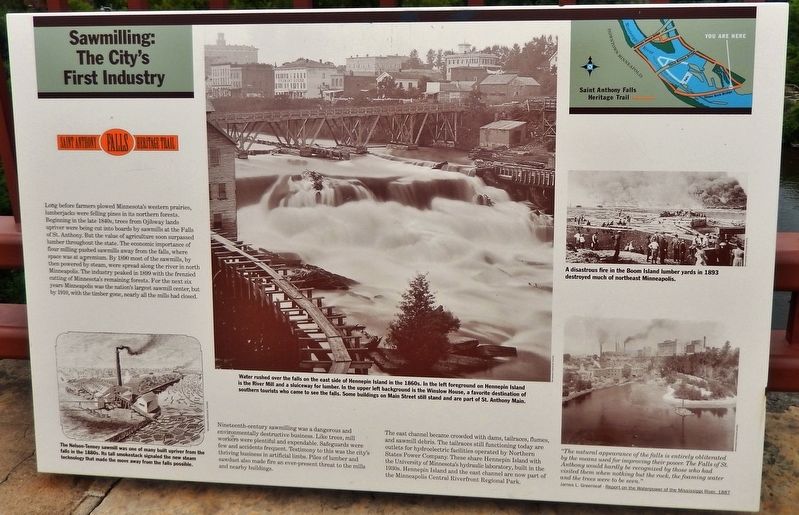
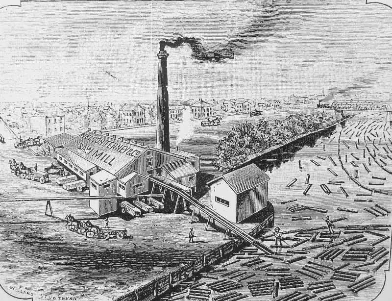
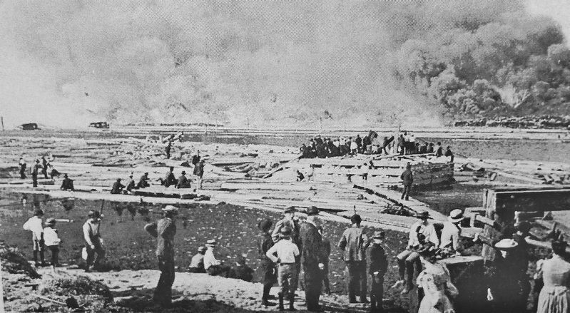
Nineteenth-century sawmilling was a dangerous and environmentally destructive business. Like trees, mill workers were plentiful and expendable. Safeguards were few and accidents frequent. Testimony to this was the city's thriving business in artificial limbs. Piles of lumber and sawdust also made fire an ever-present threat to the mills and nearby buildings.
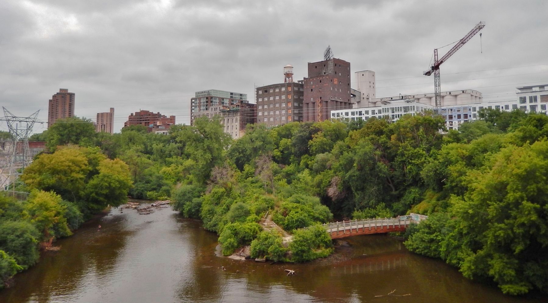
The east channel became crowded with dams, tailraces, flumes, and sawmill debris. The tailraces still functioning today are outlets for hydroelectric facilities operated by Northern States Power Company. These share Hennepin Island with the University of Minnesota's hydraulic laboratory, built in the 1930s. Hennepin Island and the east channel are now part of the Minneapolis Central Riverfront Regional Park.
Erected by St. Anthony Falls Heritage Board.
Topics. This historical marker is listed in these topic lists: Agriculture • Industry & Commerce • Settlements & Settlers • Waterways & Vessels. A significant historical year for this entry is 1890.
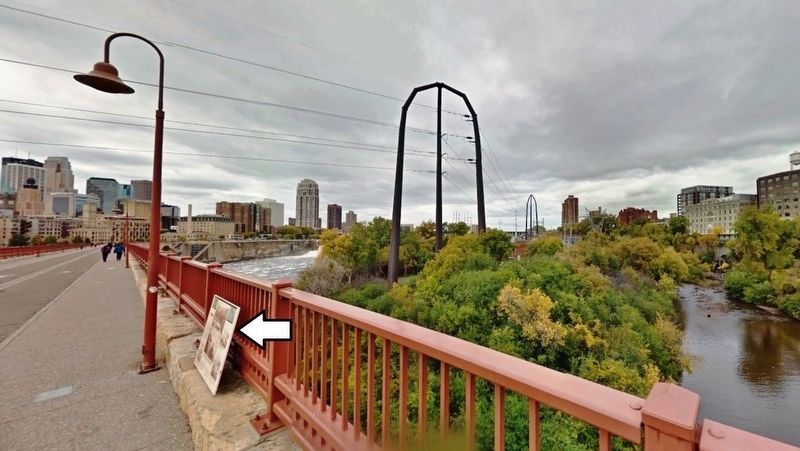
Location. 44° 58.861′ N, 93° 15.127′ W. Marker is in Minneapolis, Minnesota, in Hennepin County. It is in Saint Anthony Main. Marker can be reached from 6th Avenue Southeast west of Southeast Main Street. Marker is mounted on the Stone Arch Bridge railing, overlooking Hennepin Island to the north, about 1/10 mile west of 6th Avenue Southeast. Touch for map. Marker is in this post office area: Minneapolis MN 55414, United States of America. Touch for directions.
Other nearby markers. At least 8 other markers are within walking distance of this marker. The Stone Arch Bridge (about 300 feet away, measured in a direct line); Layers of History (about 400 feet away); Marcy~Holmes (about 400 feet away); Father Hennepin Bluffs (about 400 feet away); Portaging Around the Falls (about 400 feet away); Pettingill's Wonderful Water (about 500 feet away); Lucy Wilder Morris

Minnesota Historical Society
2. Marker detail: Hennepin Island, East Side, 1860s
Water rushed over the falls on the east side of Hennepin Island in the 1860s. In the left foreground on Hennepin Island is the River Mill and a sluiceway for lumber. In the upper left background is the Winslow House, a favorite destination of southern tourists who came to see the falls. Some buildings on Main Street still stand and are part of St. Anthony Main.
Also see . . .
1. Minnesota's First Sawmills. In 1849, after many agreements and treaties with the American Indian nations, the land that was to become Minnesota, was claimed as a territory. Of the 51.7 million acres the territory encompassed, 33 million acres were forested. Most of it was untouched by humans until settlers began to drift into the hardwood forest of the southeast in the beginning of the 19th century. (Submitted on August 31, 2020, by Cosmos Mariner of Cape Canaveral, Florida.)
2. Minneapolis Flour Milling Boom. While lumber sawmills arrived first in the 1840s, they were supplanted within decades by the flour mills. It was the extraordinary power-generating potential of the falls' 50-foot drop that brought the two industries to Minneapolis, though the heyday of flour milling outlasted that of saw milling by several decades. In 1880 and for 50 years thereafter, Minneapolis was known as the "Flour Milling Capital of the World." (Submitted on August 31, 2020, by Cosmos Mariner of Cape Canaveral, Florida.)
Minnesota Historical Society
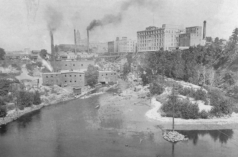
5. Marker detail: Falls of St. Anthony, 1887
"The natural appearance of the falls is entirely obliterated by the means used for improving their power. The Falls of St. Anthony would hardly be recognized by those who had visited them when nothing but the rock, the foaming water and the trees were to be seen."
—James L. Greenleaf - Report on the Waterpower of the Mississippi River, 1887
—James L. Greenleaf - Report on the Waterpower of the Mississippi River, 1887
Credits. This page was last revised on February 12, 2023. It was originally submitted on August 31, 2020, by Cosmos Mariner of Cape Canaveral, Florida. This page has been viewed 752 times since then and 203 times this year. Photos: 1, 2, 3, 4, 5, 6, 7. submitted on August 31, 2020, by Cosmos Mariner of Cape Canaveral, Florida.
