Fort Hill in Lynchburg, Virginia — The American South (Mid-Atlantic)
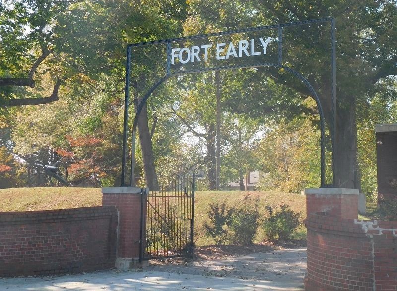
Fort Early
The Confederate Center
— Battle of Lynchburg —
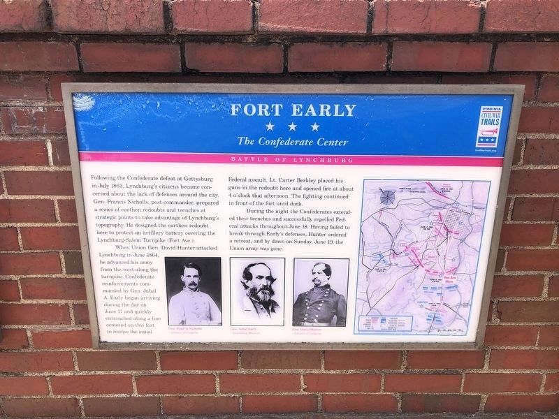
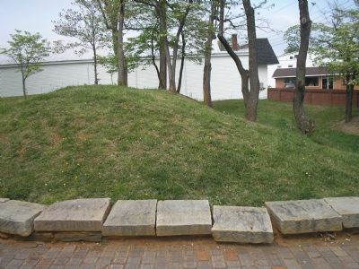
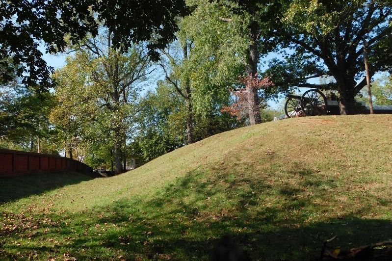
Following the Confederate defeat at Gettysburg in July 1863, Lynchburg’s citizens became concerned about the lack of defenses around the city. Gen. Francis Nicholls, post commander, prepared a series of earthen redoubts and trenches at strategic points to take advantage of Lynchburg’s topography. He designed the earthen redoubt here to protect an artillery battery covering the Lynchburg-Salem Turnpike (Fort Ave.).
When Union Gen. David Hunter attacked Lynchburg in June 1864, he advanced his army from the west along the turnpike. Confederate reinforcements commanded by Gen. Jubal A. Early began arriving during the day on June 17 and quickly entrenched along a line centered on this fort to receive the initial Federal assault. Lt. Carter Berkley placed his guns in the redoubt here and opened fire at about 4 o’clock that afternoon. The fighting continued in front of the fort until dark.
During the night the Confederates extended their trenches and successfully repelled Federal attacks throughout June 18. Having failed to break through Early’s defenses, Hunter ordered a retreat, and by dawn on Sunday, June 19, the Union army was gone.
Erected by Virginia Civil War Trails.
Topics and series. This historical marker is listed in these topic lists: Forts and Castles • War, US Civil. In addition, it is included in the Virginia Civil War Trails series list. A significant historical month for this entry is June 1864.
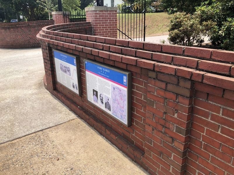
Location. 37° 23.366′ N, 79° 10.396′ W. Marker is in Lynchburg, Virginia. It is in Fort Hill. Marker is at the intersection of Fort Avenue (U.S. 460) and Vermont Avenue, on the left when traveling north on Fort Avenue. Marker is on the brick wall of Fort Early on Vermont Ave. Touch for map. Marker is in this post office area: Lynchburg VA 24501, United States of America. Touch for directions.
Other nearby markers. At least 8 other markers are within one mile of this marker, measured as the crow flies. This Reservation (within shouting distance of this marker); Lynchburg During The Civil War (within shouting distance of this marker); Battle of Lynchburg Memorial Arch (within shouting distance of this marker); Jubal Early Memorial (about 300 feet away, measured in a direct line); a different marker also named Fort Early (about 300 feet away); Spring Hill Cemetery (approx. 0.6 miles away); Lynchburg College (approx. one mile away); Memorial Avenue (approx. 1.1 miles away). Touch for a list and map of all markers in Lynchburg.
More about this marker. The marker displays portraits of Gens. Francis Nicholls, Jubal Early and David Hunter in the lower center. A map showing
the unit dispositions during the battle over the present day road network is on the right side of the marker.
Regarding Fort Early. This is one in a series of Civil War Trails markers interpreting the Battle of Lynchburg (17-18 June 1864) and the city's role in the Civil War. Select the Civil War Virtual Tour by Marker link below to see other related markers.
Also see . . . Civil War Lynchburg Virtual Tour by Markers. An eight stop Civil War Trails tour, with several Virginia state markers and other memorials added. (Submitted on December 8, 2007, by Craig Swain of Leesburg, Virginia.)
Credits. This page was last revised on February 1, 2023. It was originally submitted on December 2, 2007. This page has been viewed 2,605 times since then and 52 times this year. Last updated on August 31, 2020, by Bradley Owen of Morgantown, West Virginia. Photos: 1. submitted on August 16, 2021, by Devry Becker Jones of Washington, District of Columbia. 2. submitted on December 2, 2007, by Bill Coughlin of Woodland Park, New Jersey. 3. submitted on August 16, 2021, by Devry Becker Jones of Washington, District of Columbia. 4. submitted on December 2, 2007, by Bill Coughlin of Woodland Park, New Jersey. 5. submitted on March 17, 2021, by Bradley Owen of Morgantown, West Virginia. 6. submitted on March 21, 2021, by Bradley Owen of Morgantown, West Virginia. • J. Makali Bruton was the editor who published this page.
