
Glen Allen in Henrico County, Virginia — The American South (Mid-Atlantic)
Battle of Yellow Tavern
Wyndham Virginia Crossings Hotel & Conference Center
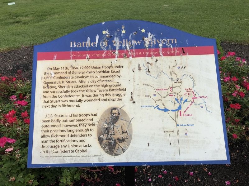
On May 11th, 1864, 12,000 Union troops under the command of General Philip Sheridan faced 4,000 Confederate cavalrymen commanded by General J.E.B. Stuart. After a day of intense fighting, Sheridan attacked on the high ground and successfully took the Yellow Tavern battlefield from the Confederates. It was during this struggle that Stuart was mortally wounded and died the next day in Richmond.
J.E.B. Stuart and his troops had been badly outnumbered and outgunned, however, they held their positions long enough to allow Richmond defenders to man the fortifications and discourage any Union attacks on the Confederate Capital.
Erected by Wyndham Virginia Crossings Hotel & Conference Center.
Topics. This historical marker is listed in this topic list: War, US Civil. A significant historical date for this entry is May 11, 1864.
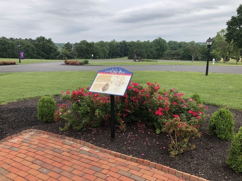
Location. Marker has been reported missing. It was located near 37° 39.887′ N, 77° 26.673′ W. Marker was in Glen Allen, Virginia, in Henrico County. It could be reached from Virginia Center Parkway west of Par Golf Drive, on the right when traveling west. Touch for map. Marker was at or near this postal
this page online

Regionally, this marker was in Virginia’s Piedmont, in Central Virginia, and in the Richmond Metropolitan Area. It was also in the American South, specifically in the Upper South, and on the Eastern Seaboard. Globally, it was in the North Atlantic Region, North America, the Western Hemisphere, the Western World, and the Anglosphere. Historically, it found itself in what was once the territory of the Mississippian Culture, one of the original Thirteen Colonies, one of the Confederate States of America, and the Antebellum South.
Other nearby markers. At least 8 other markers are within 2 miles of this location, measured as the crow flies: Liberty Golden Eagle (within shouting distance of this marker); Major General James Ewell Brown Stuart (approx. half a mile away); Yellow Tavern (approx. half a mile away); Stuart’s Mortal Wound (approx. 0.9 miles away); a different marker also named Battle of Yellow Tavern (approx. 0.9 miles away); a different marker also named Stuart’s Mortal Wound (approx. 0.9 miles away);
Credits. This page was last revised on January 26, 2021. It was originally submitted on May 11, 2019, by Devry Becker Jones of Washington, District of Columbia. This page has been viewed 2,599 times since then and 133 times this year. Last updated on September 1, 2020, by Michael Kleen of Woodbridge, Virginia. Photos: 1, 2. submitted on May 11, 2019, by Devry Becker Jones of Washington, District of Columbia.
