Marcy-Holmes in Minneapolis in Hennepin County, Minnesota — The American Midwest (Upper Plains)
Marcy~Holmes
Minneapolis' Oldest Neighborhood
Here You Are
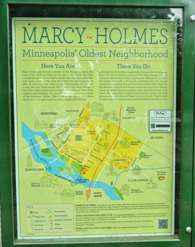
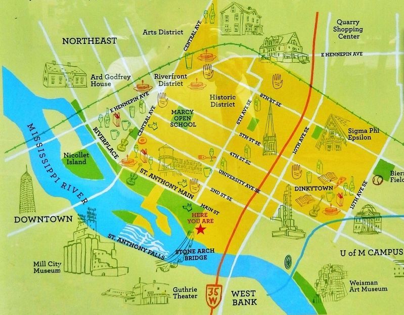
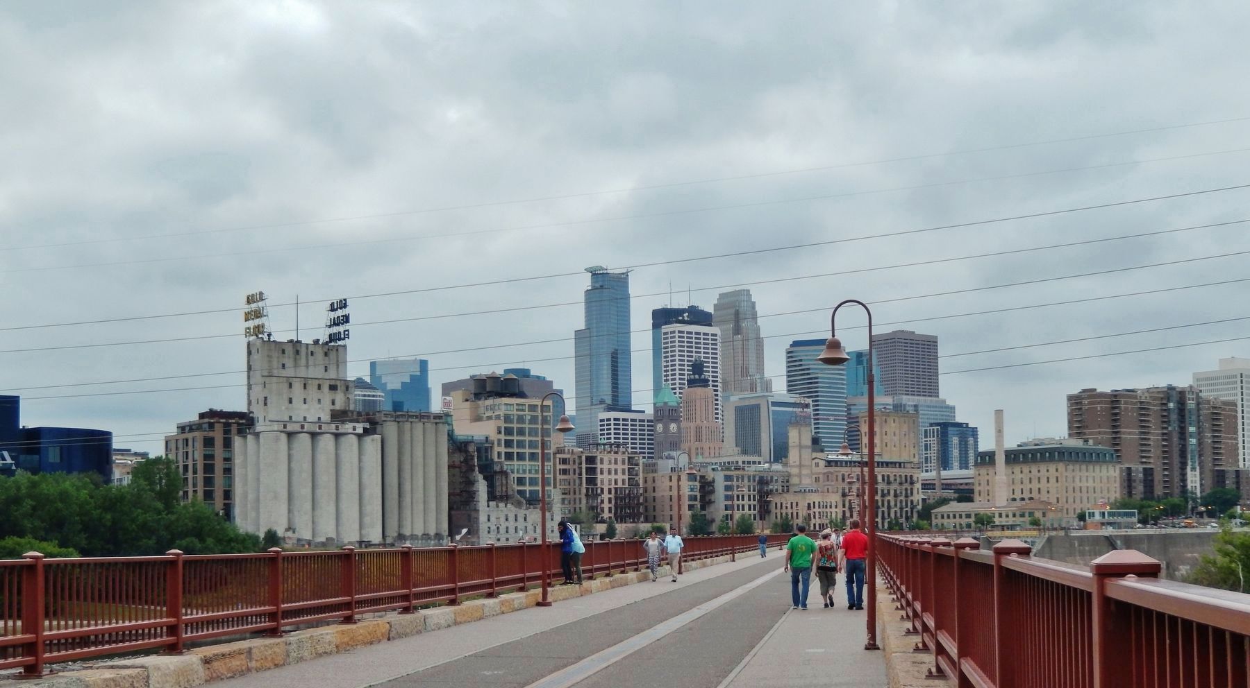
Here, by the only natural waterfalls on the Mississippi River, the town of St. Anthony Falls got its start in the 1850s. The falls, considered sacred by the Native Americans who once called this area home, powered the mills that fueled the town's growth. In 1872, St. Anthony Falls voted to join Minneapolis, the new city across the river. Walk across the historic Stone Arch Bridge or stroll down Main Street and you can see the falls and some of the original mill buildings. You can also see some of the best views of the downtown skyline. Take a look at our map to learn more. And if you have time, enjoy one of our neighborhood tours.
There You Go
Learn why the city's oldest neighborhood is now one of its hippest. Head into Marcy-Holmes and you'll find three historic districts and many famous landmarks, including the Pillsbury A Mill, once the largest flour mill in the world, and Dinkytown, the vibrant university community that was home to young Bob Dylan. Stroll up 6th Avenue and you'll find bronze sculptures of our most famous buildings, award-winning gardens, many beautiful homes and a vibrant mix of students, professionals, families, artists and entrepreneurs, many of whom will greet you with a smile. There's more to explore as well — on your own or with the help of one of our tours.
What’s in a Name?
Originally the town of St. Anthony Falls, Marcy-Holmes is east of the Mississippi and south of East Hennepin Avenue, which is why we're called "Southeast" Minneapolis. Named for a politician (Marcy) and a writer (Holmes) we're proud to be a gateway to the University District, which includes Prospect Park, Southeast Como, West Bank-Cedar Riverside and the University of Minnesota.
Take a Neighbor-designed Tour
Visit www.marcy-holmes.org — or scan the QR code with your smart phone — to access neighborhood tours created by those who know Marcy-Holmes best. Move at your own pace as you explore gardens and must-see sights. (Audio and visual tours included.)
Topics. This historical marker is listed in these topic lists: Arts, Letters, Music • Native Americans • Settlements & Settlers • Waterways & Vessels. A significant historical year for this entry is 1850.
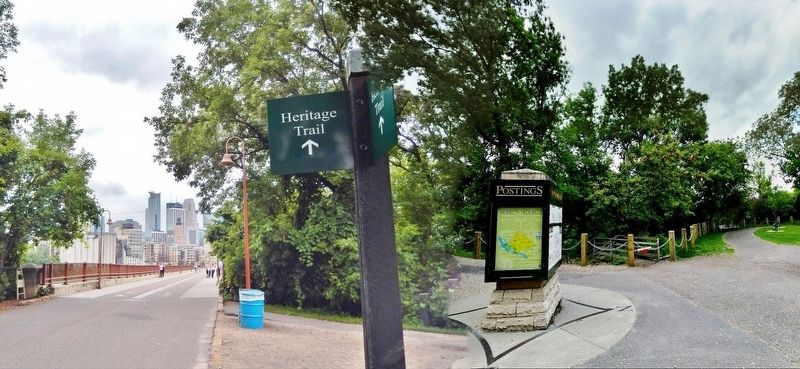
Location. 44° 58.88′ N, 93° 15.045′ W. Marker is in Minneapolis, Minnesota, in Hennepin County. It is in Marcy-Holmes. Marker can be reached from 6th Avenue Southeast west of Southeast Main Street. The marker is mounted at eye-level on a kiosk near the east end of the Stone Arch Bridge. Touch for map. Marker is at or near this postal address: 420 Southeast Main Street, Minneapolis MN 55414, United States of America. Touch for directions.
Other nearby markers. At least 8 other markers are within walking distance of this marker. Layers of History (here, next to this marker); The Stone Arch Bridge (a few steps from this marker); Father Hennepin Bluffs (a few steps from this marker); Portaging Around the Falls (within shouting distance of this marker); Lucy Wilder Morris (within shouting distance of this marker); Pettingill's Wonderful Water (about 300 feet away, measured in a direct line); Sawmilling: The City's First Industry (about 400 feet away); The Pillsbury A Mill (about 700 feet away). Touch for a list and map of all markers in Minneapolis.
Regarding Marcy~Holmes. Father Louis Hennepin, a Franciscan priest, is credited with being the first European to see the falls in 1680. He named them after his patron saint, St. Anthony of Padua. The falls became the center for logging businesses. The first store was opened in 1847, at what is now Main Street and Second Avenue SE; the first frame houses were built in 1848 and the first school was opened in 1849. The town of St. Anthony Falls incorporated in 1855. It merged with Minneapolis in 1872.
Also see . . . Saint Anthony Falls. Wikipedia entry (Submitted on September 28, 2022, by Larry Gertner of New York, New York.)
Credits. This page was last revised on December 24, 2023. It was originally submitted on September 1, 2020, by Cosmos Mariner of Cape Canaveral, Florida. This page has been viewed 349 times since then and 19 times this year. Last updated on December 23, 2023, by McGhiever of Minneapolis, Minnesota. Photos: 1, 2, 3, 4. submitted on September 1, 2020, by Cosmos Mariner of Cape Canaveral, Florida. • J. Makali Bruton was the editor who published this page.


