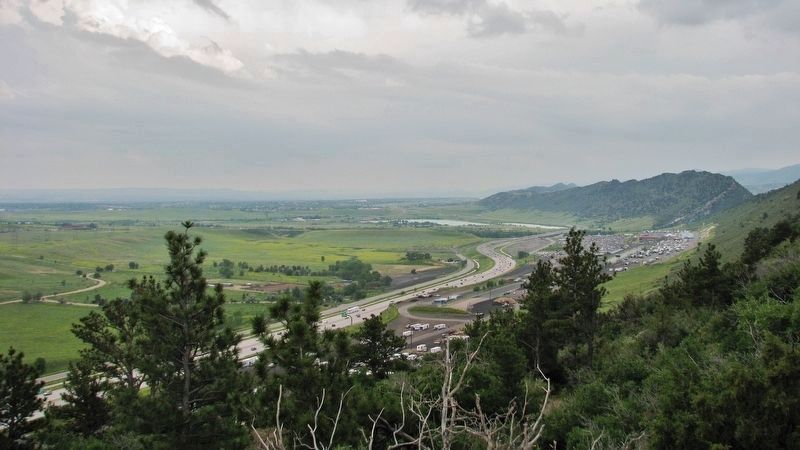
Morrison in Jefferson County, Colorado — The American Mountains (Southwest)
West Alameda Parkway / Dinosaur Ridge
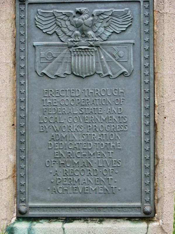
Works Progress Administration
— 1937 —
Erected through the cooperation of Federal, State and local governments by Works Progress Administration. Dedicated to the enrichment of human lives. A record of permanent achievement.
Topics and series. This historical marker is listed in these topic lists: Paleontology • Parks & Recreational Areas • Roads & Vehicles. In addition, it is included in the Works Progress Administration (WPA) projects series list. A significant historical year for this entry is 1937.
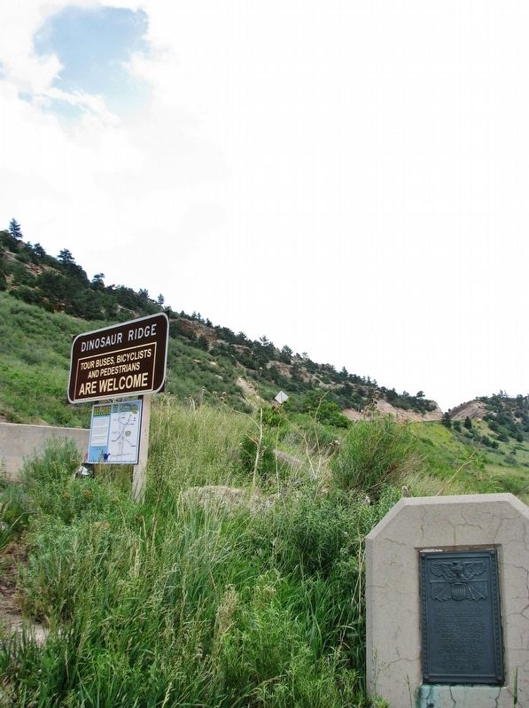
Location. 39° 40.771′ N, 105° 11.801′ W. Marker is in Morrison, Colorado, in Jefferson County. Marker is at the intersection of Hog Back Road (County Road 93) and West Alameda Parkway, on the right when traveling north on Hog Back Road. Marker is located at the south end of the Dinosaur Ridge Hog Back Road trailhead and parking lot. Touch for map. Marker is in this post office area: Morrison CO 80465, United States of America. Touch for directions.
Other nearby markers. At least 8 other markers are within walking distance of this marker. Bone Deposition (a few steps from this marker); Theropod Track (about 500 feet away, measured in a direct line); Late Jurassic Time (about 500 feet away); Morrison Fossil Area (about 600 feet away); Rock Deformation (about 600 feet away); Brontosaur Bulges (about 700 feet away); The Rocky Mountains (approx. 0.2 miles away); Volcanic Ash (approx. 0.2 miles away).
More about this marker. Use caution around the marker - it has been an active rattlesnake habitat at times!
Regarding West Alameda Parkway / Dinosaur Ridge. National Natural Landmark (1973), Colorado State Natural Area (2001), Colorado Geological Survey Point of Geological Interest (2006).
Also see . . .
1. New Deal in Colorado. The Works Progress Administration (WPA), which focused on giving people jobs rather than providing direct relief, employed tens of thousands to make civic improvements. Together the CCC and the WPA built the 10,000-seat Red Rocks Amphitheater near Morrison in the foothills west of Denver, and the WPA constructed Alameda Parkway to link the theater to Denver. (Submitted on September 4, 2020, by Cosmos Mariner of Cape Canaveral, Florida.)
2. Dinosaur Ridge. Colorado Encyclopedia website entry:
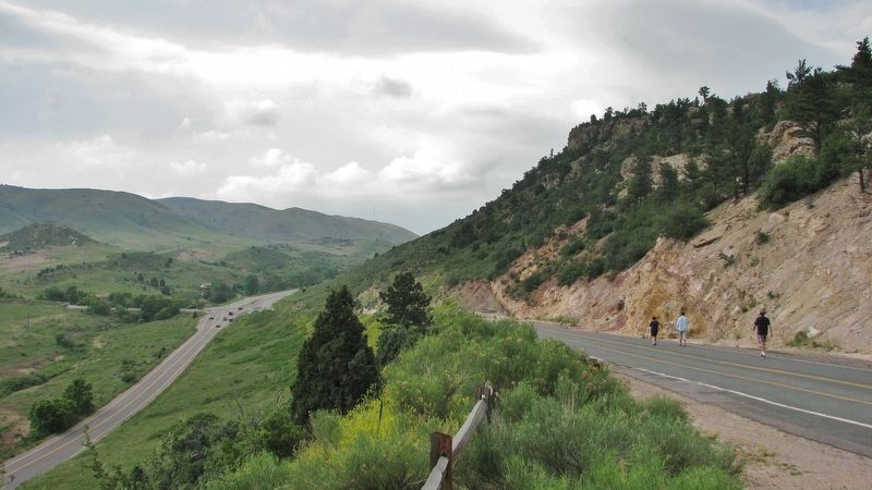
In 1937, during the construction of West Alameda Parkway, dinosaur tracks were discovered on the east side of Dinosaur Ridge in the 100-million-year-old rocks of the Dakota Group, representing the Early Cretaceous Period. Because these strata represent the shoreline sediments of an ancient seaway that was frequently trampled by dinosaurs, these beds have been called the “Dinosaur Freeway.” (Submitted on September 3, 2020, by Cosmos Mariner of Cape Canaveral, Florida.)
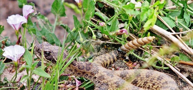
Photographed By Cosmos Mariner, June 20, 2010
6. Rattlesnake at Base of Marker
Having photographed many thousands of historical markers, across 3 decades, in all 50 states and in several other countries, this one represents the only time I found myself in danger. Going in for the marker close-up, I found my self face-to-face with this large rattlesnake! Fortunately, the polite critter chose rattling, rather than striking, as its greeting behavior!
Credits. This page was last revised on January 17, 2022. It was originally submitted on September 2, 2020, by Cosmos Mariner of Cape Canaveral, Florida. This page has been viewed 243 times since then and 24 times this year. Photos: 1. submitted on September 3, 2020, by Cosmos Mariner of Cape Canaveral, Florida. 2, 3, 4, 5, 6. submitted on September 4, 2020, by Cosmos Mariner of Cape Canaveral, Florida.
