San Ramon's Pioneers
Ramona Park
| — | Celebrate San Ramon's History | — |
San Ramon's Pioneers
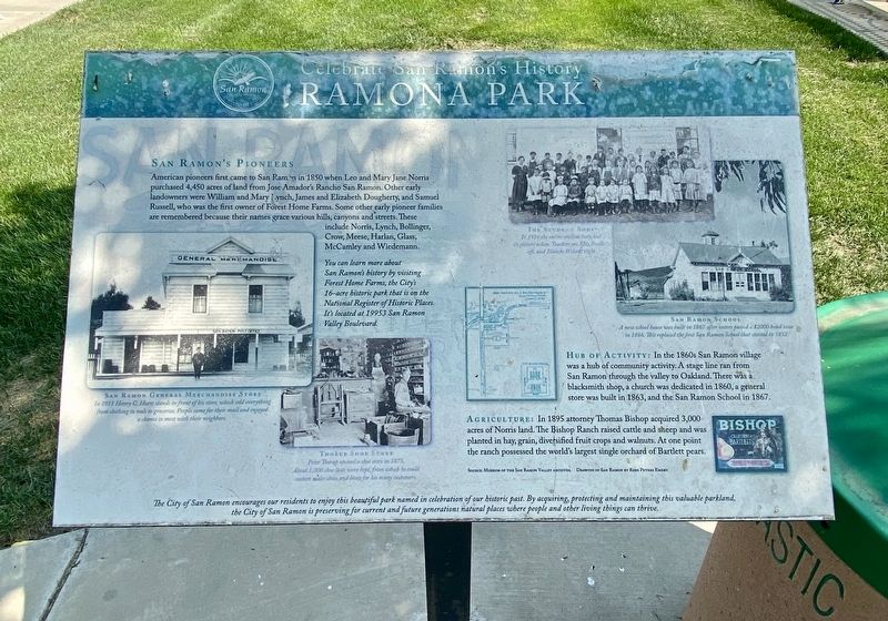
American pioneers first came to San Ramon in 1850 when Leo and Mary Jane Norris purchased 4,450 acres of land from Jose Amador's Rancho San Ramon. Other early landowners were William and Mary Lynch, James and Elizabeth Dougherty, and Samuel Russell, who was the first owner of Forest Home Farms. Some other early pioneer families are remembered because their names grace various hills, canyons and streets. These include Norris, Lynch, Bollinger, Crow, Meese, Harlan, Glass, McCamley and Wiedemann.
You can learn more about San Ramon's history by visiting Forest Home Farms, the City's 16-acre historic park that is on the National Register of Historic Places. It's located at 19953 San Ramon Valley Boulevard.
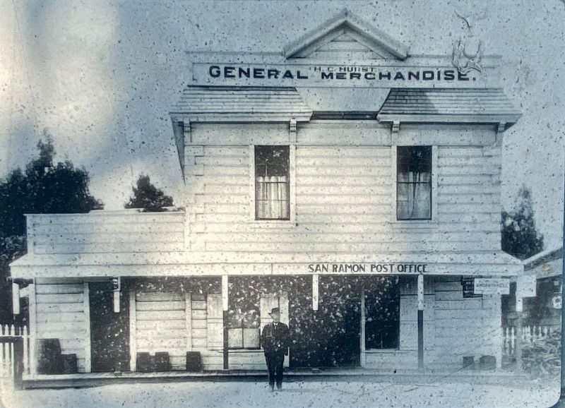
Hub of Activity: In the 1860s San Ramon village was a hub of community activity. A stage line ran from San Ramon through the valley to Oakland. There was a blacksmith shop, a church was dedicated in 1860, a general store was built in 1863, and the San Ramon School in 1867.
Agriculture: In 1895 attorney Thomas Bishop acquired 3,000 acres of Norris land. The Bishop Ranch raised
this page online
Erected by City of San Ramon.
Topics. This historical marker is listed in these topic lists: Agriculture • Industry & Commerce • Settlements & Settlers. A significant historical year for this entry is 1850.
Location. 37° 44.957′ N, 121° 53.203′ W. Marker is in San Ramon, California, in Contra Costa County. It can be reached from Balmoral Way. Touch for map. Marker is in this post office area: San Ramon CA 94582, United States of America. Touch for directions.

Regionally, this marker is in California’s San Francisco Bay Area and on the Coast Ranges. It is also on the American Pacific Coast. Globally, it is in North America, on the Ring of Fire, in the Pacific Rim, in the Western Hemisphere, in the Western World, and in the Anglosphere. Historically, it finds itself in what was once New Spain and also Mexico’s Alta California.
Other nearby markers. At least 8 other markers are within 4 miles of this marker, measured as the crow flies:
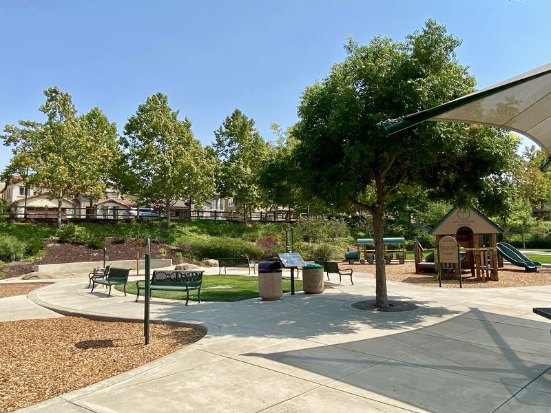
More about this marker. The marker is in the eastern half of Ramona Park, under a tree by the children's play area.
Also see . . . History of San Ramon (City of San Ramon). (Submitted on September 3, 2020.)
Credits. This page was last revised on September 15, 2020. It was originally submitted on September 3, 2020, by Andrew Ruppenstein of Lamorinda, California. This page has been viewed 921 times since then and 49 times this year. Photos: 1, 2, 3. submitted on September 3, 2020, by Andrew Ruppenstein of Lamorinda, California.
