Near Niagara in Grand Forks County, North Dakota — The American Midwest (Upper Plains)
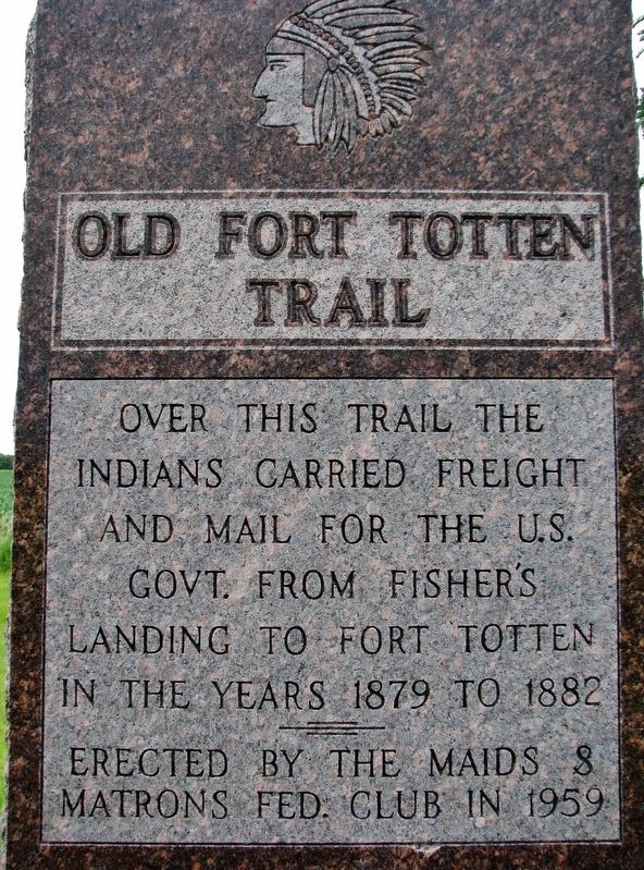
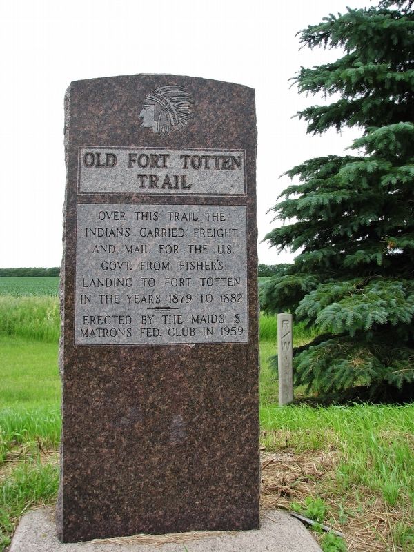
Old Fort Totten Trail
Erected 1959 by Maids & Matrons Fed. Club.
Topics. This historical marker is listed in these topic lists: Forts and Castles • Native Americans • Roads & Vehicles. A significant historical year for this entry is 1879.
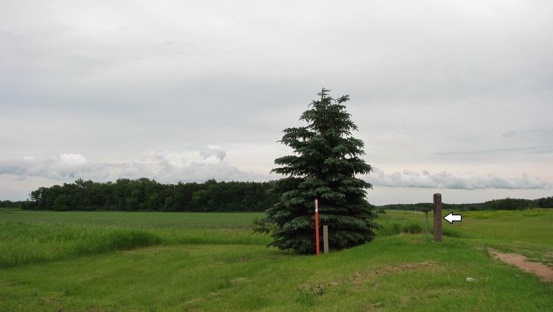
Location. 47° 58.592′ N, 97° 46.854′ W. Marker is near Niagara, North Dakota, in Grand Forks County. Marker can be reached from the intersection of U.S. 2 and 21st Avenue Northeast, on the right when traveling west. Marker is located in a pull-out just south of 21st Avenue Northeast on the east side of US Highway 2. Touch for map. Marker is in this post office area: Niagara ND 58266, United States of America. Touch for directions.
Other nearby markers. At least 1 other marker is within 9 miles of this marker, measured as the crow flies. Larimore City Hall (approx. 8.7 miles away).
Also see . . . Fort Totten, North Dakota – Protecting the Totten Trail. Fort Totten was just one of a number of posts built to protect the overland route – others included Forts Abercrombie, Ransom, Stevenson, and Buford, as well as Fort Benton in Montana. Fort Totten's purpose was to protect the Totten Trail, an overland route that extended across Dakota Territory from southern Minnesota to the goldfields of western Montana, and later, to control and protect the Totten Indian Reservation. (Submitted on September 4, 2020, by Cosmos Mariner of Cape Canaveral, Florida.)
Credits. This page was last revised on September 4, 2020. It was originally submitted on September 4, 2020, by Cosmos Mariner of Cape Canaveral, Florida. This page has been viewed 853 times since then and 178 times this year. Photos: 1, 2, 3. submitted on September 4, 2020, by Cosmos Mariner of Cape Canaveral, Florida.


