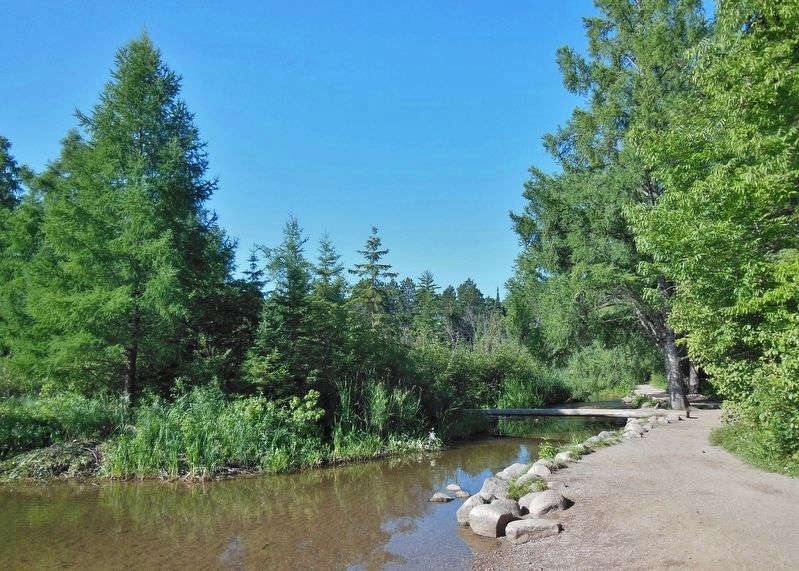
Near Shevlin in Clearwater County, Minnesota — The American Midwest (Upper Plains)
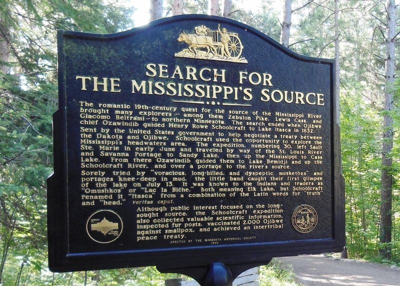
Search for the Mississippi's Source
Sent by the United States government to help negotiate a treaty between the Dakota and Ojibwe, Schoolcraft used the opportunity to explore the Mississippi's headwaters area. The expedition, numbering 30, left Sault Ste. Marie in early June and travelled by way of the St. Louis River and Savanna Portage to Sandy Lake, then up the Mississippi to Cass Lake. From there Ozawindib guided them to Lake Bemidji and up the Schoolcraft River, and over a portage to the river's source.
Sorely tried by "voracious, long-billed, and dyspeptic musketoes" and portages knee-deep in mud, the little band caught their first glimpse of the lake on July 13. It was known to the Indians and traders as "Omushkos" or "Lac la Biche," both meaning Elk Lake, but Schoolcraft renamed it "Itasca" from a combination of the Latin words for "truth" and "head," veritas caput.
Although public interest focused on the long-sought source, the Schoolcraft expedition also collected valuable scientific information, inspected fur posts, vaccinated 2,000 Ojibwe against small pox, and achieved an intertribal peace treaty.
seal of The Minnesota Historical Society, Instituted 1849
Erected by the Minnesota Historical Society
1990
Erected 1990 by Minnesota Historical Society.
Topics. This historical marker is listed in these topic lists: Exploration • Native Americans • Waterways & Vessels. A significant historical year for this entry is 1832.
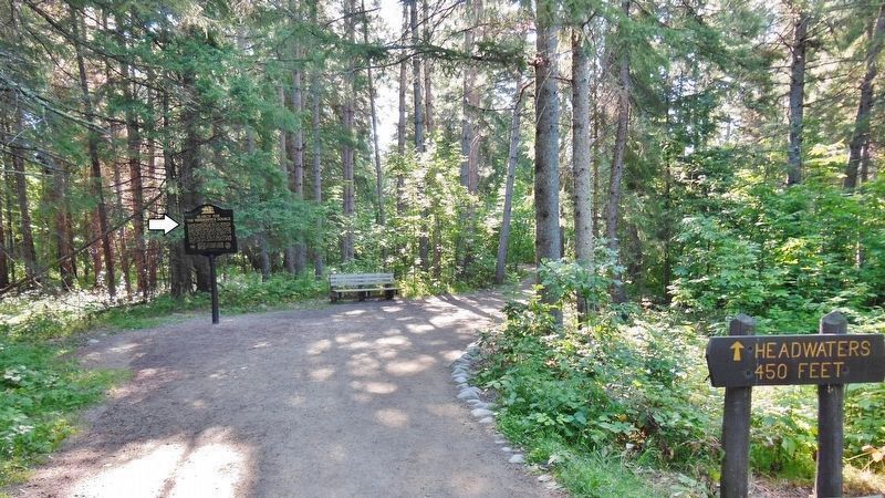
Location. 47° 14.406′ N, 95° 12.559′ W. Marker is near Shevlin, Minnesota, in Clearwater County. Marker can be reached from County Road 117, 0.3 miles south of County Road 122. Marker is located on the 1/10 mile trail between Mary Gibbs Mississippi Headwaters Center and the Mississippi Headwaters site at the north end of Lake Itasca. Touch for map. Marker is in this post office area: Shevlin MN 56676, United States of America. Touch for directions.
Other nearby markers. At least 8 other markers are within 4 miles of this marker, measured as the crow flies. Old Northwest Territory (about 400 feet away, measured in a direct line); Itasca State Park Centennial (about 500 feet away); Patterson's Homestead (approx. 0.2 miles away); Theodore and Johanna Wegmann (approx. 0.4 miles away); Wegmann Store Replica (approx. 0.4 miles away); Geology of Minnesota (approx. 2˝ miles away); From a Day When Trees Were Trees (approx. 3.6 miles away); Itasca Lake (approx. 3.6 miles away). Touch for a list and map of all markers in Shevlin.
Related markers. Click here for a list of markers that are related to this marker. Search for the Mississippi Headwaters
Also see . . .
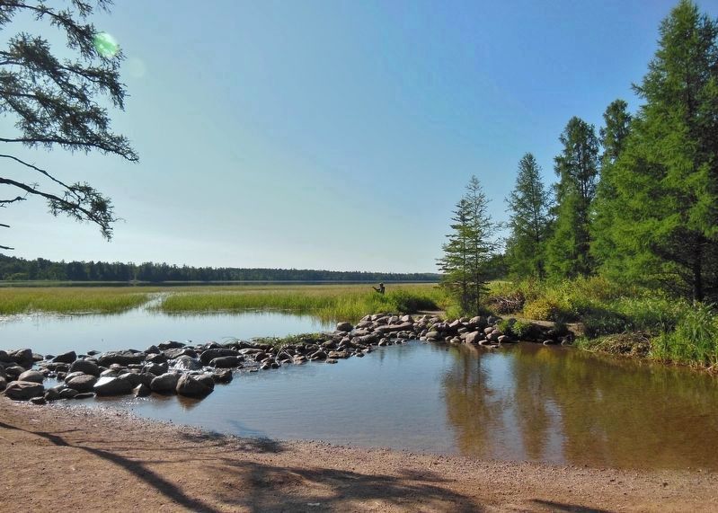
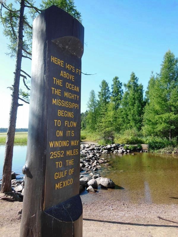
1. Mississippi River Headwaters. The mighty Mississippi River begins its winding journey to the Gulf of Mexico as a mere 18-foot wide knee-deep river in Itasca State Park. From here the river flows north to Bemidji, where it turns east, and then south near Grand Rapids. It will flow a total of 694 miles before working its way out of Minnesota. (Submitted on September 5, 2020, by Cosmos Mariner of Cape Canaveral, Florida.)
2. Minnesota History: Controversy at the Mississippi's headwaters. Lake Itasca is now commonly considered the true head of the mighty river. But before everyone agreed, the headwaters’ back story was punctuated with controversy, fraud and a young female park director who didn’t back off from gun-totting loggers. (Submitted on September 5, 2020, by Cosmos Mariner of Cape Canaveral, Florida.)
3. Narrative of an expedition through the upper Mississippi to Itasca Lake. This is an account by Henry Rowe Schoolcraft of his
discovery of the Mississippi River's source, Lake Itasca, in 1832. Schoolcraft was an Indian agent for the region, and he assembled an expeditionary party of thirty, including Ozawindib (an Ojibway guide and interpreter), an army officer, a surgeon, a geologist, and interpreter, and a missionary. (Submitted on September 5, 2020, by Cosmos Mariner of Cape Canaveral, Florida.)
4. American beginnings: The source of the Mississippi River. The source of the Mississippi had been known to Native Americans for centuries. Then in 1832, Henry Schoolcraft, a territorial superintendent for Indian affairs stationed in Sault Ste. Marie, Canada, headed west, his assignment unclear. But for a dozen years Schoolcraft had been itching to locate the headwaters. (Submitted on September 5, 2020, by Cosmos Mariner of Cape Canaveral, Florida.)
Credits. This page was last revised on September 6, 2020. It was originally submitted on September 5, 2020, by Cosmos Mariner of Cape Canaveral, Florida. This page has been viewed 566 times since then and 107 times this year. Photos: 1, 2, 3, 4, 5, 6. submitted on September 5, 2020, by Cosmos Mariner of Cape Canaveral, Florida.
