Near Goldthwaite in Mills County, Texas — The American South (West South Central)
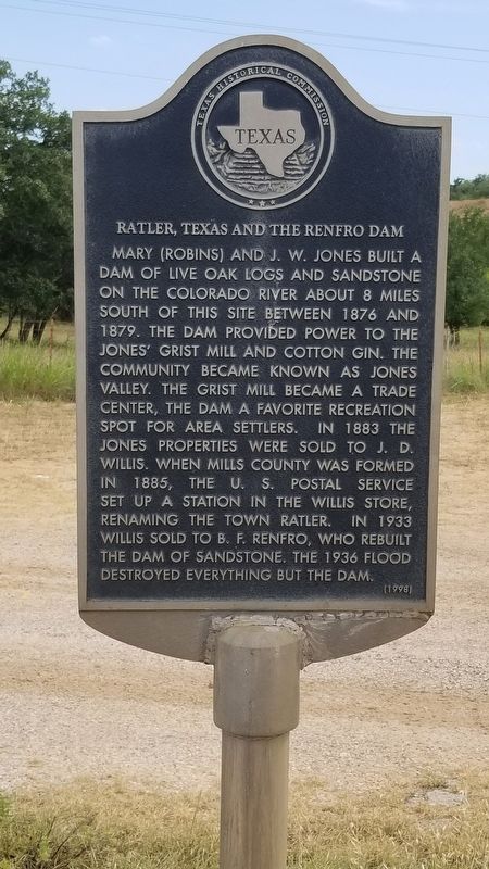
Ratler, Texas and the Renfro Dam
Mary (Robins) and J. W. Jones built a dam of live oak logs and sandstone on the Colorado River about 8 miles south of this site between 1876 and 1879. The dam provided power to Jones' grist mill and cotton gin. The community became known as Jones Valley. The grist mill became a trade center, the dam a favorite recreation spot for area settlers. In 1883 the Jones' properties were sold to J. D. Willis. When Mills County was formed in 1885, the U. S. Postal Service set up a station in the Willis store, renaming the town Ratler. In 1933 Willis sold to B. F. Renfro, who rebuilt the dam of sandstone. The 1936 flood destroyed everything but the dam.
Erected 1998 by Texas Historical Commission. (Marker Number 12159.)
Topics. This historical marker is listed in this topic list: Man-Made Features. A significant historical year for this entry is 1876.
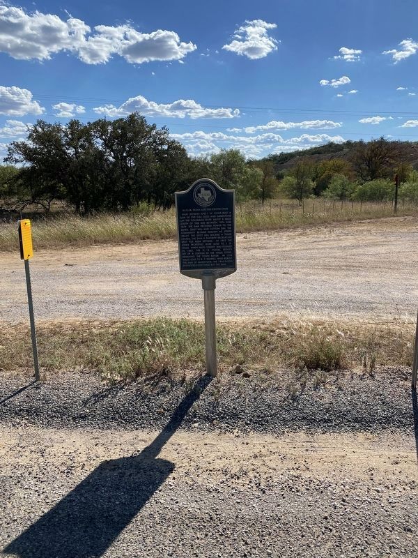
Location. 31° 27.513′ N, 98° 43.766′ W. Marker is near Goldthwaite, Texas, in Mills County. Marker is on Farm to Market Road 574, 10 miles west of U.S. 183. Touch for map. Marker is in this post office area: Goldthwaite TX 76844, United States of America. Touch for directions.
Other nearby markers. At least 8 other markers are within 8 miles of this marker, measured as the crow flies. Jackson Massacre (approx. 3˝ miles away); Rural Communities of Western Mills County (approx. 4.2 miles away); Site of Chesser Valley Community (approx. 5.3 miles away); Williams Ranch Cemetery (approx. 5.7 miles away); John Williams (approx. 5.7 miles away); Regency Suspension Bridge (approx. 7.7 miles away); a different marker also named Regency Suspension Bridge (approx. 7.8 miles away); Mullin United Methodist Church (approx. 7.9 miles away).
Also see . . . Ratler, Texas. (Submitted on September 6, 2020, by James Hulse of Medina, Texas.)
Credits. This page was last revised on October 30, 2022. It was originally submitted on September 6, 2020, by James Hulse of Medina, Texas. This page has been viewed 300 times since then and 54 times this year. Photos: 1. submitted on September 6, 2020, by James Hulse of Medina, Texas. 2. submitted on October 30, 2022, by Brian Anderson of Humble, Texas. • J. Makali Bruton was the editor who published this page.

