Studio City in Los Angeles in Los Angeles County, California — The American West (Pacific Coastal)
El Camino Real Mission Bell
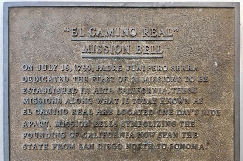
Photographed by Craig Baker, August 31, 2020
1. El Camino Real Mission Bell Marker
Topics and series. This historical marker is listed in these topic lists: Religion & Religious Structures • Roads & Vehicles. In addition, it is included in the El Camino Real, “The King's Highway” (California), and the Historic Bells series lists. A significant historical date for this entry is July 16, 1769.
Location. 34° 8.718′ N, 118° 22.181′ W. Marker is in Los Angeles, California, in Los Angeles County. It is in Studio City. It can be reached from Vineland Avenue 0.1 miles south of U.S. 101, on the left when traveling south. Located in front of The Garland hotel, near the fountain. Touch for map. Marker is at or near this postal address: 4222 Vineland Ave, North Hollywood CA 91602, United States of America. Touch for directions.

Regionally, this marker is in California’s The Valley (the San Fernando
this page online
Other nearby markers. At least 8 other markers are within walking distance of this marker: St Charles Borromeo Church Bell (approx. 0.4 miles away); George Barris Place (approx. half a mile away); Dick Whittinghill (approx. half a mile away); Campo de Cahuenga (approx. 0.6 miles away); a different marker also named Campo de Cahuenga (approx. 0.6 miles away); Treaty of Cahuenga (approx. 0.6 miles away); a different marker also named Campo de Cahuenga (approx. 0.6 miles away); The Basin Residence (approx. 0.8 miles away). Touch for a list and map of all markers in Los Angeles.
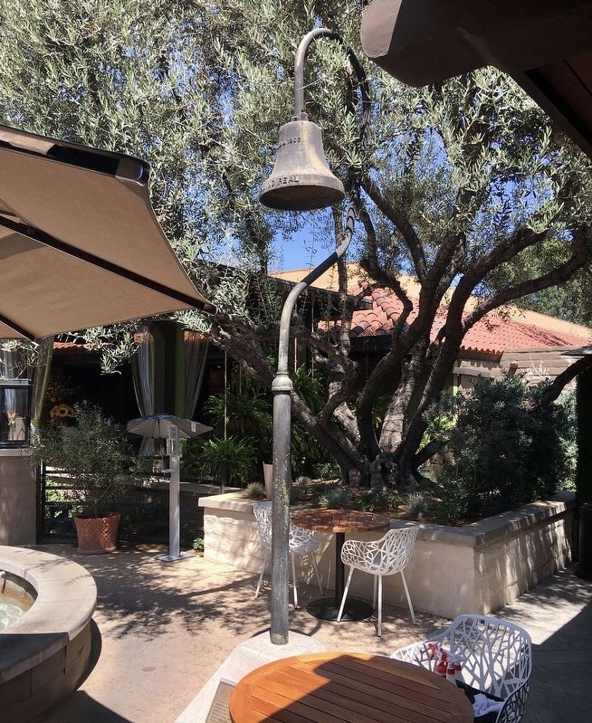
Photographed by Craig Baker, August 31, 2020
2. Mission Bell and Marker
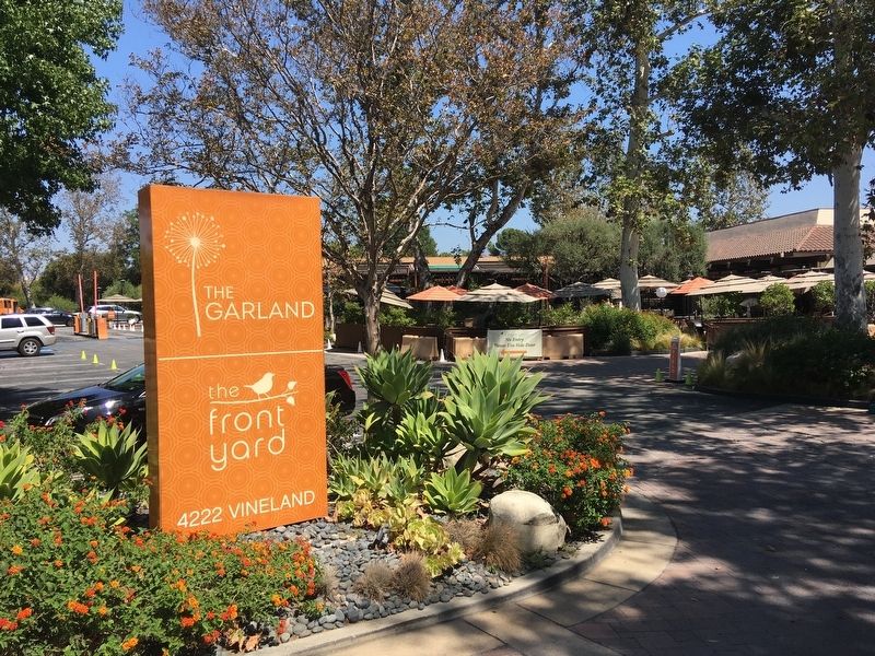
Photographed by Craig Baker, August 31, 2020
3. The Garland Hotel
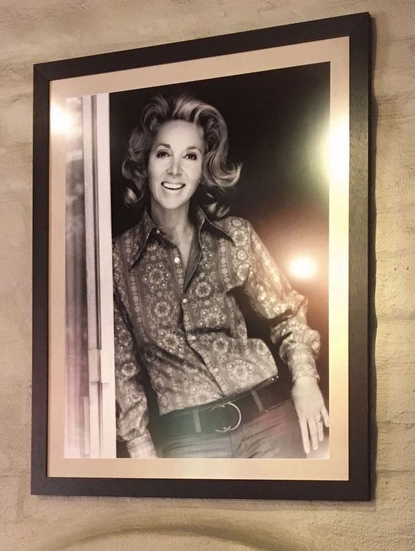
Photographed by Craig Baker, August 31, 2020
4. Photo in Lobby
Actress Beverly Garland opened this hotel in 1972.
Credits. This page was last revised on February 27, 2023. It was originally submitted on September 8, 2020, by Craig Baker of Sylmar, California. This page has been viewed 694 times since then and 60 times this year. Photos: 1, 2, 3, 4. submitted on September 8, 2020, by Craig Baker of Sylmar, California. • J. Makali Bruton was the editor who published this page.
