Chester in Randolph County, Illinois — The American Midwest (Great Lakes)
Port of Chester, Illinois Welcoming Mississippi River Travelers since 1829
Inscription.
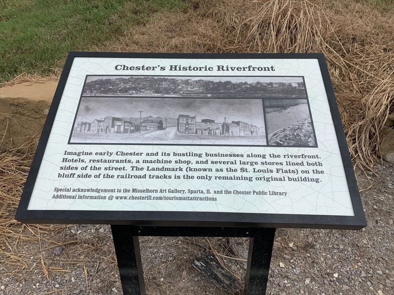
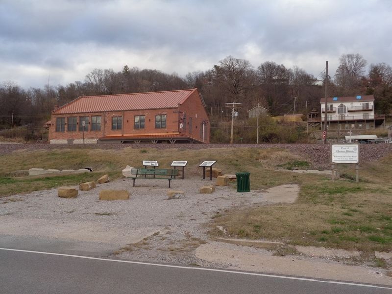
Chester's Historic Riverfront. Imagine early Chester and its bustling businesses along the riverfront. Hotels, restaurants, a machine shop, and several large stores lined both sides of the street. The Landmark (known as the St.Louis Flats) on the bluff side of the railroad tracks is the only remaining original building.
Special acknowledgement to the Misselhorn Art Gallery, Sparta, Il and the Chester Public Library. Addition information @www.chesterill.com/tourismattattractions
Topics. This historical marker is listed in these topic lists: Settlements & Settlers • Waterways & Vessels.
Location. 37° 54.017′ N, 89° 49.729′ W. Marker is in Chester, Illinois, in Randolph County. Marker is at the intersection of Ferry Street and Kaskaskia St when traveling south on Ferry Street. Touch for map. Marker is at or near this postal address: 111 Ferry St, Chester IL 62233, United States of America. Touch for directions.
Other nearby markers. At least 8 other markers are within walking distance of this marker. The River Boats (here, next to this marker); The Railroad (here, next to this marker); Thomas Mather (within shouting distance of this marker); Toar (about 300 feet away, measured in a direct line); Ham Gravy (approx. ¼ mile away); Statehood of Illinois (approx. ¼ mile away); Weistar House (approx. 0.3 miles away); Flood of 1993 (approx. 0.4 miles away). Touch for a list and map of all markers in Chester.
Credits. This page was last revised on December 1, 2020. It was originally submitted on September 8, 2020, by Thomas Smith of Waterloo, Ill. This page has been viewed 309 times since then and 53 times this year. Photos: 1. submitted on September 8, 2020, by Thomas Smith of Waterloo, Ill. 2. submitted on December 1, 2020, by Jason Voigt of Glen Carbon, Illinois. 3. submitted on September 8, 2020, by Thomas Smith of Waterloo, Ill. • Devry Becker Jones was the editor who published this page.


