Plains Township near Wilkes-Barre in Luzerne County, Pennsylvania — The American Northeast (Mid-Atlantic)
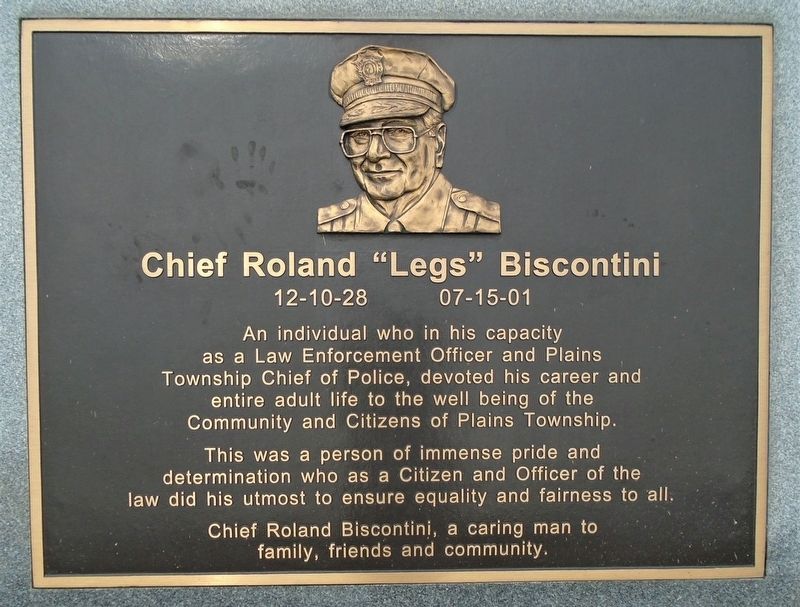
Chief Roland "Legs" Biscontini
12-10-28 • 07-15-01
Photographed by William Fischer, Jr., September 7, 2020
1. Chief Roland "Legs" Biscontini Marker
as a Law Enforcement Officer and Plains
Township Chief of Police, devoted his career and
entire adult life to the well being of the
Community and Citizens of Plains Township.
This was a person of immense pride and
determination who as a Citizen and Officer of the
law did his utmost to ensure equality and fairness to all.
Chief Roland Biscontini, a caring man to
family, friends and community.
Erected by Concerned Citizens and Organizations.
Topics. This historical marker is listed in this topic list: Law Enforcement.
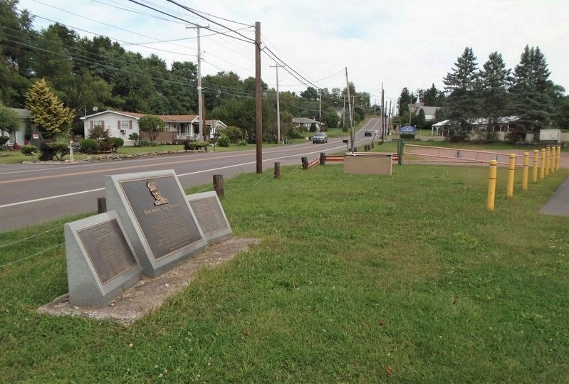
Location. 41° 17.466′ N, 75° 49.98′ W. Marker is near Wilkes-Barre, Pennsylvania, in Luzerne County. It is in Plains Township. It is on Main Street north of Harriet Street, on the right when traveling north. Marker is at the Hilldale Baseball Park. Touch for map. Marker is at or near this postal address: 665-697 North Main Street, Wilkes Barre PA 18705, United States of America. Touch for directions.

Regionally, this marker is in Pennsylvania’s Anthracite Coal Region and in the Wyoming Valley. It is
this page online
Other nearby markers. At least 8 other markers are within 2 miles of this marker, measured as the crow flies: Wyoming Monument (approx. 1.2 miles away); Luzerne County Liberty Tree (approx. 1.2 miles away); The Bloody Rock (approx. 1.2 miles away); Fort Hancock Civil War Cannon (approx. 1.2 miles away); Battle of Wyoming (approx. 1.2 miles away); War Memorial (approx. 1.2 miles away); Raymond Slabinski (approx. 1.3 miles away); a different marker also named War Memorial (approx. 1.4 miles away).
Photographed by William Fischer, Jr., September 7, 2020
2. Chief Roland "Legs" Biscontini Marker
Credits. This page was last revised on February 7, 2023. It was originally submitted on September 9, 2020, by William Fischer, Jr. of Reynoldsburg, Ohio. This page has been viewed 335 times since then and 31 times this year. Photos: 1, 2. submitted on September 9, 2020, by William Fischer, Jr. of Reynoldsburg, Ohio.
