Near Page in Coconino County, Arizona — The American Mountains (Southwest)
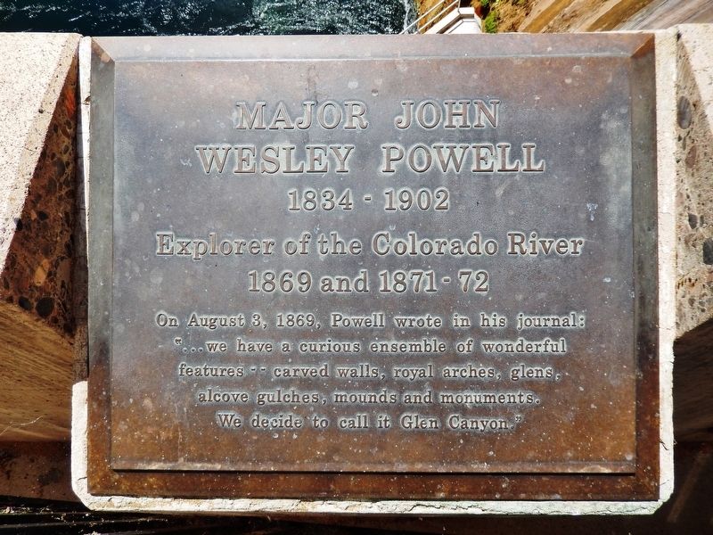
Major John Wesley Powell
1834-1902
Photographed by Cosmos Mariner, June 13, 2016
1. Major John Wesley Powell Marker
Wesley Powell
1834-1902
Explorer of the Colorado River
1869 and 1871-72
On August 3, 1869, Powell wrote in his journal:
”…we have a curious ensemble of wonderful
features — carved walls, royal arches, glens,
alcove gulches, mounds and monuments.
We decide to call it Glen Canyon.”
Topics. This historical marker is listed in these topic lists: Exploration • Waterways & Vessels. A significant historical date for this entry is August 3, 1869.
Location. 36° 56.146′ N, 111° 29.058′ W. Marker is near Page, Arizona, in Coconino County. It can be reached from U.S. 89. Marker is located on the south side of Glen Canyon Dam, off US Route 89 at the Colorado River. Touch for map. Marker is in this post office area: Page AZ 86040, United States of America. Touch for directions.

Regionally, this marker is in Arizona’s Flagstaff & High Country, in the Navajo Nation, and in Hopi. It is also in the American Southwest, in the Mountain West, on the Colorado Plateau, and at the Four Corners. Globally, it is in North America, the Western Hemisphere, the Western World, and the Anglosphere. Historically, it finds
this page online
Other nearby markers. At least 8 other markers are within walking distance of this marker: Glen Canyon Dam (about 300 feet away, measured in a direct line); Lake Powell (about 400 feet away); Dinosaur Tracks (about 500 feet away); Bureau of Reclamation Memorial Fountain (about 500 feet away); Wicket Gates (about 600 feet away); Glen Canyon Bridge / Cableways (about 600 feet away); Concrete Bucket / Concrete Core Sample (about 600 feet away); Hydroelectric Power - A Green and Renewable Energy Source (about 600 feet away). Touch for a list and map of all markers in Page.
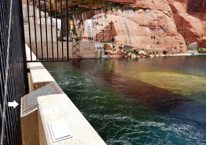
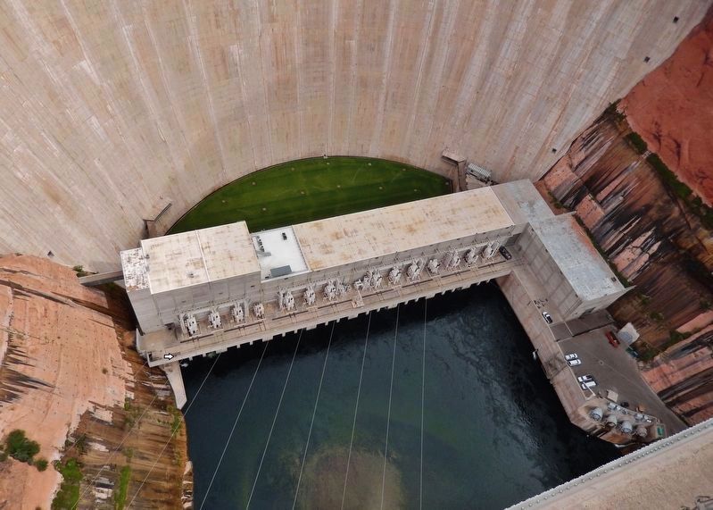
More about this marker. Marker is on the Glen Canyon Dam generator level, overlooking the Colorado River to the south. Access to this marker is via guided tour.
Also see . . . Major John Wesley Powell's 1869 Journey Down the Green and Colorado Rivers. The purpose of Powell’s 1869 expedition was to survey the geology, geography, and water resource potential for settling the region, and document ethnography and natural history of the canyons of the Green and Colorado Rivers. The 710-foot-high
Photographed by Cosmos Mariner, June 13, 2016
2. Major John Wesley Powell Marker
Photographed by Cosmos Mariner, June 13, 2016
3. Glen Canyon Dam & Major John Wesley Powell Marker
marker visible near left canyon wall)
Photographed by Cosmos Mariner, June 13, 2016
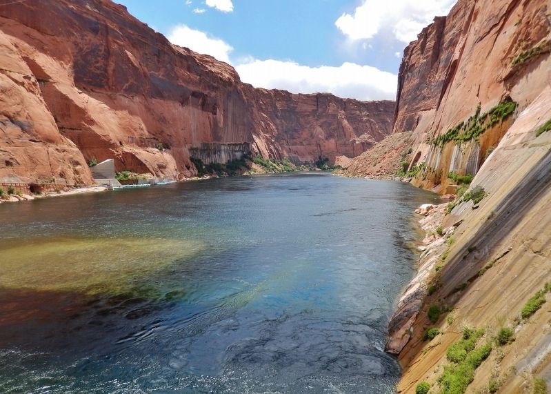
4. Glen Canyon • Colorado River
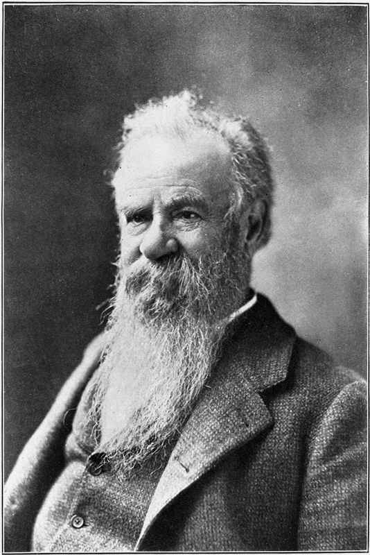
Library of Congress
5. John Wesley Powell
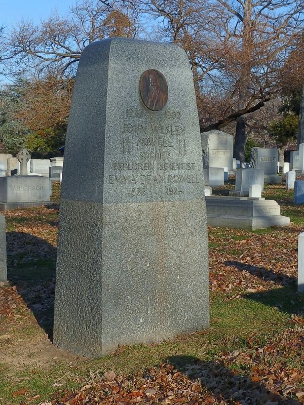
Photographed by Allen C. Browne, December 11, 2017
6. John Wesley and Emma Dean Powell
Headstone in Arlington National Cemetery.
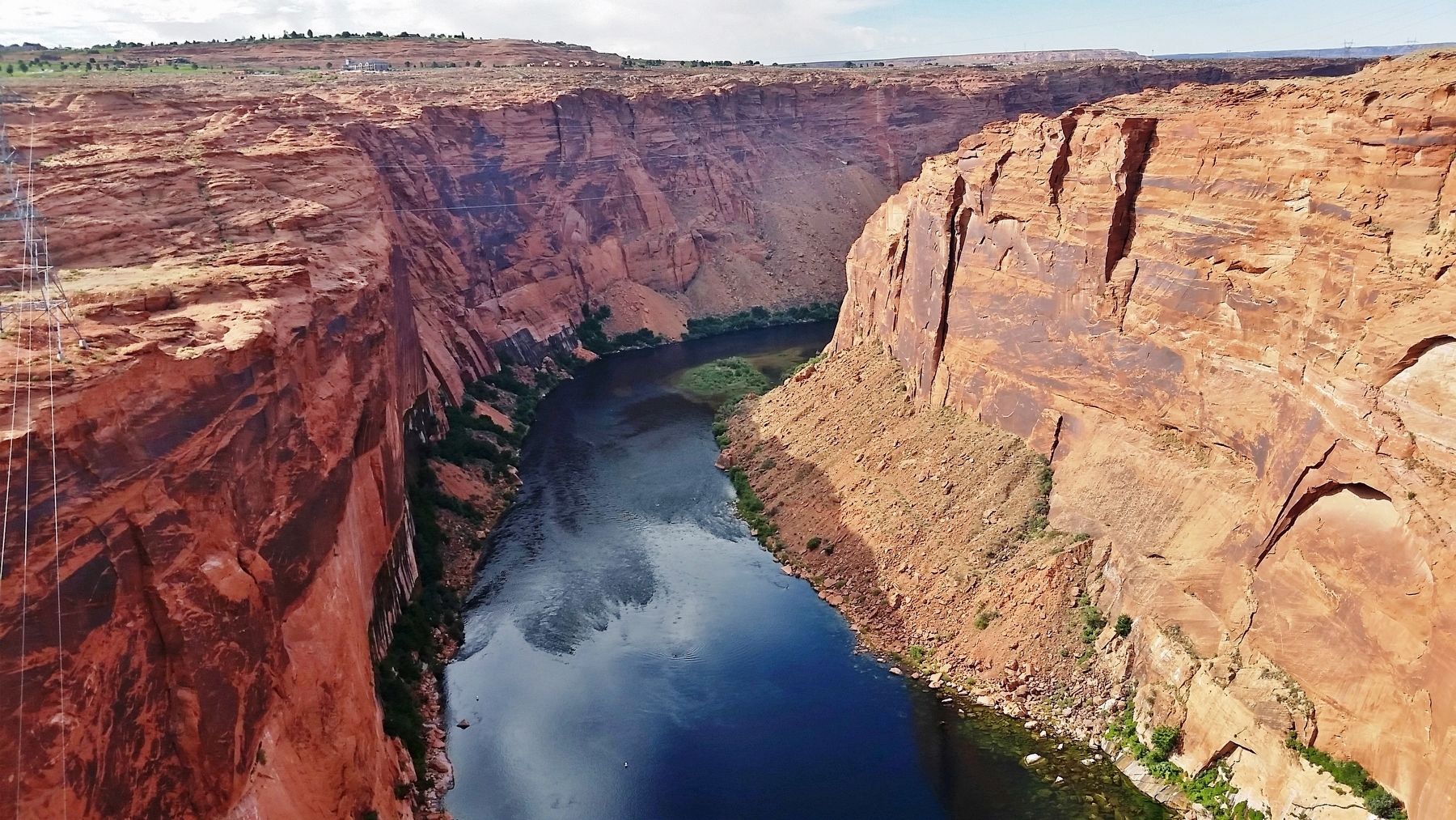
Photographed by Cosmos Mariner, June 13, 2016
7. Colorado River & Glen Canyon
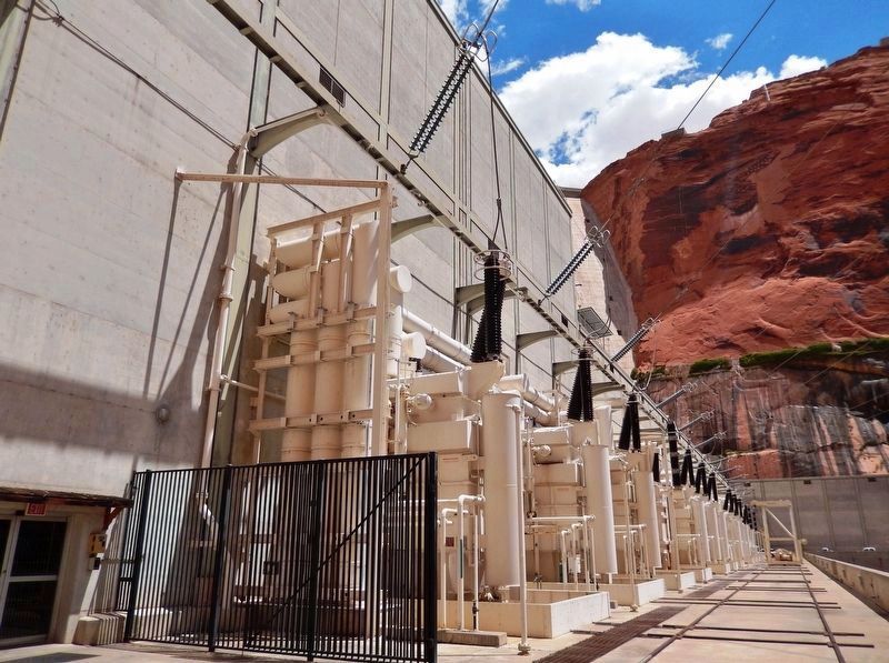
Photographed by Cosmos Mariner, June 13, 2016
8. Glen Canyon Dam Generator Level
Credits. This page was last revised on September 13, 2020. It was originally submitted on September 9, 2020, by Cosmos Mariner of Cape Canaveral, Florida. This page has been viewed 445 times since then and 30 times this year. Photos: 1, 2, 3, 4. submitted on September 10, 2020, by Cosmos Mariner of Cape Canaveral, Florida. 5, 6. submitted on September 13, 2020, by Allen C. Browne of Silver Spring, Maryland. 7, 8. submitted on September 10, 2020, by Cosmos Mariner of Cape Canaveral, Florida.
