Gleason in Weakley County, Tennessee — The American South (East South Central)
Janes Mill
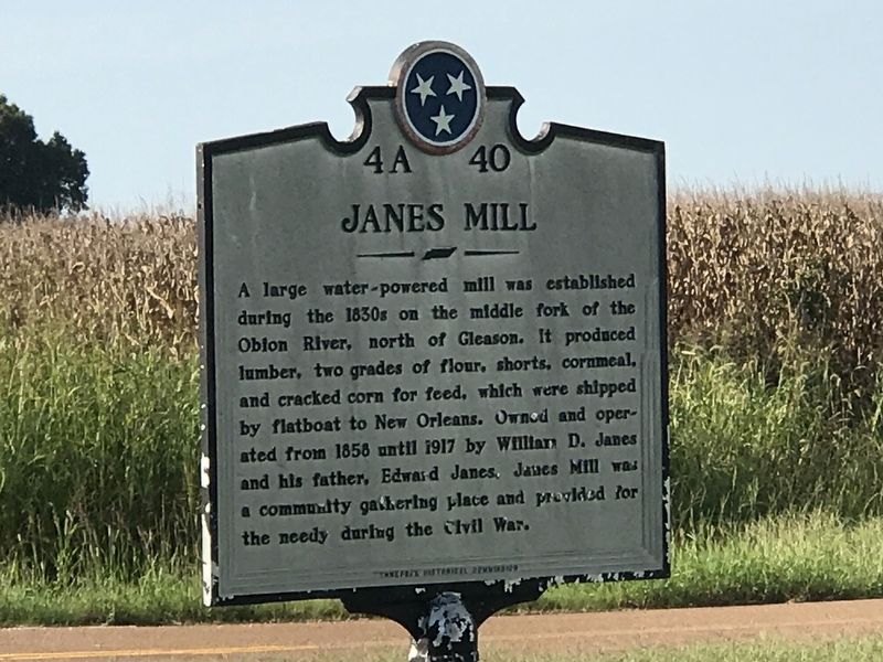
Photographed by Duane and Tracy Marsteller, September 6, 2020
1. Janes Mill Marker
Erected by Tennessee Historical Commission. (Marker Number 4A 40.)
Topics and series. This historical marker is listed in these topic lists: Industry & Commerce • War, US Civil. In addition, it is included in the Tennessee Historical Commission series list. A significant historical year for this entry is 1858.
Location. 36° 13.924′ N, 88° 36.659′ W. Marker is in Gleason, Tennessee, in Weakley County. It is at the intersection of State Highway 22 and Janes Mill Road, on the right when traveling north on State Highway 22. Touch for map. Marker is in this post office area: Gleason TN 38229, United States of America. Touch for directions.

Regionally, this marker is in West Tennessee. It
this page online
Other nearby markers. At least 8 other markers are within 9 miles of this marker, measured as the crow flies: Gleason Veterans Memorial (approx. 1.3 miles away); Weakley County War Memorial (approx. 6.8 miles away); Divided By Conflict (approx. 6.8 miles away); Weakley County (approx. 6.8 miles away); Weakley County Tennessee Confederate Memorial (approx. 6.8 miles away); Bethel College (approx. 8.4 miles away); Harris-Collier-Holland Farm (approx. 8½ miles away); The Hamilton Building (approx. 8.6 miles away).

Photographed by Duane and Tracy Marsteller, September 6, 2020
2. Janes Mill Marker

Photographed by Edward Jernigan, circa April 1991
3. Janes Mill Marker
Dedication of the Janes Mill Marker.
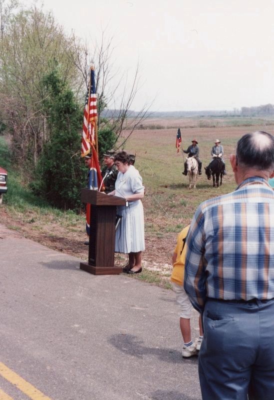
Photographed by Edward Jernigan, circa April 1991
4. Janes Mill Marker
Dedication of Janes Mill marker. Podium speaker is Gretta Jernigan, descendant of Edward Janes.
Credits. This page was last revised on July 31, 2024. It was originally submitted on September 10, 2020, by Duane and Tracy Marsteller of Murfreesboro, Tennessee. This page has been viewed 788 times since then and 56 times this year. Photos: 1, 2. submitted on September 10, 2020, by Duane and Tracy Marsteller of Murfreesboro, Tennessee. 3, 4. submitted on July 29, 2024, by Edward Jernigan of Paragould, Arkansas. • Bernard Fisher was the editor who published this page.
