Near La Crosse in La Crosse County, Wisconsin — The American Midwest (Great Lakes)
The Upper Mississippi
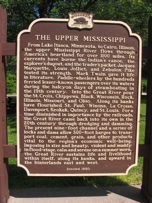
Photographed by Keith L, June 23, 2008
1. The Upper Mississippi Marker
this page online
Erected 1980 by the Wisconsin Historical Society. (Marker Number 264.)
Topics and series. This historical marker is listed in this topic list: Waterways & Vessels. In addition, it is included in the Wisconsin Historical Society series list.
Location. 43° 51.545′ N, 91° 16.238′ W. Marker is near La Crosse, Wisconsin, in La Crosse County. It can be reached from Interstate 90 at milepost 1 west of Lakeshore Drive, on the right when traveling east. Marker is at eastbound Rest Area 31 on French Island — Wisconsin’s only rest area located on an island. Touch for map. Marker is at or near this postal address: 2323 Lakeshore Drive, La Crosse WI 54603, United States of America. Touch for directions.

Regionally, this marker is in Western Wisconsin. It is also in the American Midwest, in the Corn Belt, in the Driftless Area — Bluff Country, and in the Great River Road Region. Globally, it is in North America, the Western Hemisphere, the Western World, and the Anglosphere. Historically,
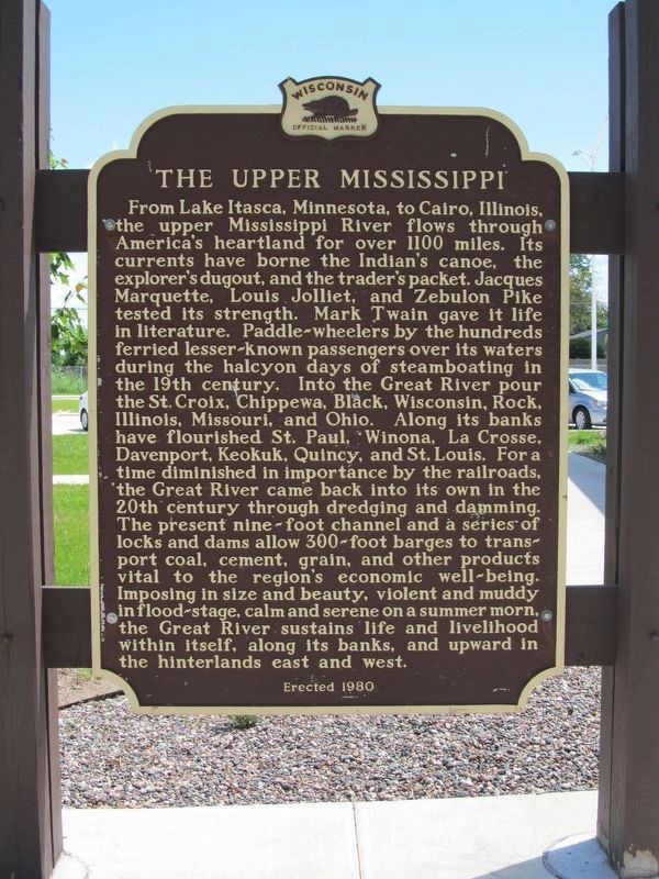
Photographed by Paul Fehrenbach, May 30, 2017
2. The Upper Mississippi Marker
The rest area was recently redeveloped and the marker repositioned. It is just north of the new building.
Other nearby markers. At least 8 other markers are within 2 miles of this marker, measured as the crow flies: Wisconsin Veterans Memorial Highway (a few steps from this marker); Major General C.C. Washburn (within shouting distance of this marker); Logan and Caledonia (approx. 1.6 miles away); Wood and Hayes (approx. 1.7 miles away); George and Gohres (approx. 1.7 miles away); Taming the Wild River (approx. 1.7 miles away in Minnesota); Symbol of America (approx. 1.7 miles away in Minnesota); Minnesota’s “Fashionable Tour” / Welcome to Minnesota (approx. 1.7 miles away in Minnesota). Touch for a list and map of all markers in La Crosse.
Also see . . .
1. About the Upper Mississippi River System. "The history of navigation on the Upper Mississippi River System goes back to the 1820's, when Congress authorized construction of a canal connecting Lake Michigan and the Illinois River..." (Submitted on January 24, 2009.)
2. Upper Mississippi River. "In terms of geologic and hydrographic history, the Upper
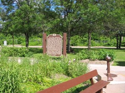
Photographed by Keith L, June 23, 2008
3. The Upper Mississippi Marker
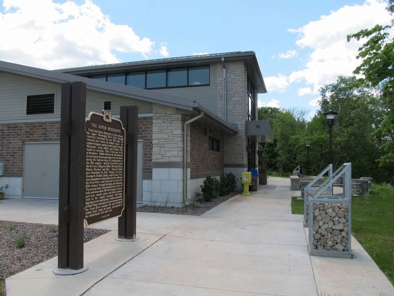
Photographed by Paul Fehrenbach, May 30, 2017
4. The Upper Mississippi Marker
The rest area was recently redeveloped and the marker repositioned. It is just north of the new building.
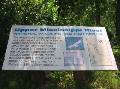
Photographed by Keith L, June 23, 2008
5. Refuge Sign (along nearby hiking trail)
National Wildlife and Fish Refuge
Credits. This page was last revised on June 11, 2017. It was originally submitted on January 24, 2009, by Keith L of Wisconsin Rapids, Wisconsin. This page has been viewed 1,743 times since then and 51 times this year. Photos: 1. submitted on January 24, 2009, by Keith L of Wisconsin Rapids, Wisconsin. 2. submitted on June 1, 2017, by Paul Fehrenbach of Richfield, Wisconsin. 3. submitted on January 24, 2009, by Keith L of Wisconsin Rapids, Wisconsin. 4. submitted on June 1, 2017, by Paul Fehrenbach of Richfield, Wisconsin. 5. submitted on January 24, 2009, by Keith L of Wisconsin Rapids, Wisconsin. • Kevin W. was the editor who published this page.
