Lake Shore - Lake Vista in New Orleans in Orleans Parish, Louisiana — The American South (West South Central)
Southern Yacht Club
Photographed by Cajun Scrambler, September 5, 2020
1. Southern Yacht Club Marker
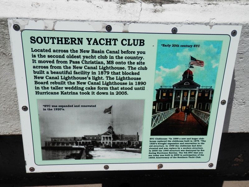
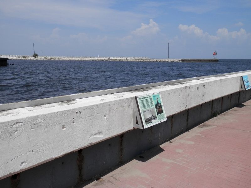
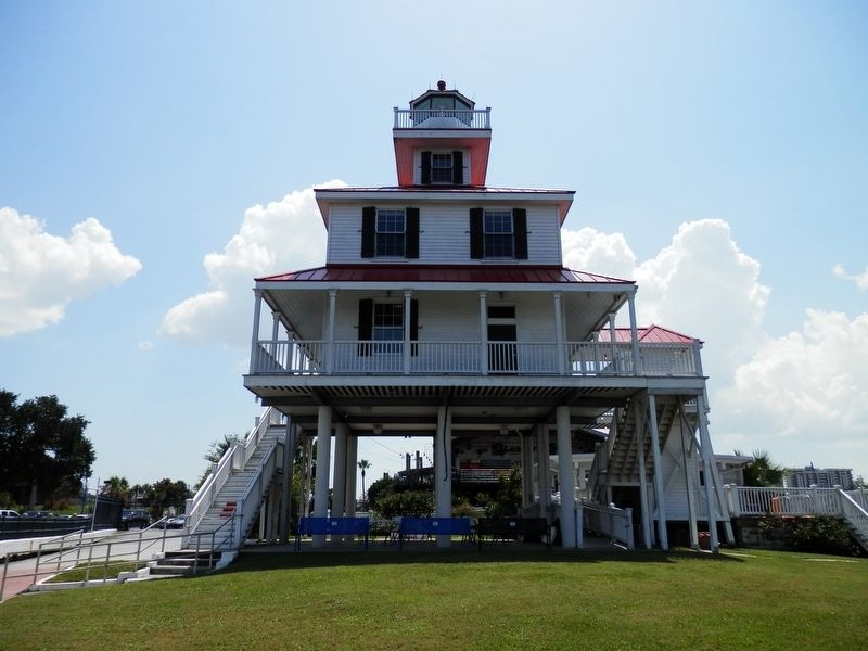
Located across the New Basin Canal before you is the second oldest yacht club in the country. It moved from Pass Christian, MS onto the site across from the New Canal Lighthouse. The club built a beautiful facility in 1879 that blocked the New Canal Lighthouse's light. The Lighthouse Board rebuilt the New Canal Lighthouse in 1890 in the taller wedding cake form that stood until Hurricane Katrina took it down in 2005.
Photo Caption
SYC Clubhouse- *In 1899 a new and larger clubhouse replaced the clubhouse built in 1879. * The 1920's brought expansion and renovation to the old structure. In 1949 the clubhouse had deteriorated and was replace by a modern structure. In 2005 the 1949 structure was destroyed by fire during Hurricane Katrina. The 4th SYC that you see today was built in 2009 in anticipation of the 160th Anniversary of the Southern Yacht Club.
Topics and series. This historical marker is listed in these topic lists: Disasters • Waterways & Vessels. In addition, it is included in the Lighthouses series list.
Location. 30° 1.628′ N, 90° 6.805′ W. Marker is in
this page online

Regionally, this marker is in one of the River Parishes. It is also in the American South, specifically in the Deep South, on the Gulf Coast, and in the Great River Road Region. Globally, it is in North America, a Gulf of Mexico state, the Western Hemisphere, the Western World, and the Anglosphere. Historically, it finds itself in what was once New Spain, the Viceroyalty of New France, the territory of the Mississippian Culture, the Louisiana Purchase, one of the Confederate States of America, and the Antebellum South.
Other nearby markers. At least 8 other markers are within 3 miles of this marker, measured as the crow flies: The Point (a few steps from this marker); Lake Pontchartrain and the Pontchartrain Basin (a few steps from this marker); New Basin Canal (a few steps from this marker);
Photographed by Cajun Scrambler, September 5, 2020
2. Southern Yacht Club Marker
More about this marker. The lighthouse grounds are free to walk and enjoy. The current 2020 Lighthouse is a museum, and a fee is charged for entry.
Photographed by Cajun Scrambler, September 5, 2020
3. New Basin Canal Lighthouse Museum
Credits. This page was last revised on February 12, 2023. It was originally submitted on September 11, 2020, by Cajun Scrambler of Assumption, Louisiana. This page has been viewed 529 times since then and 35 times this year. Photos: 1, 2, 3. submitted on September 11, 2020, by Cajun Scrambler of Assumption, Louisiana.
